Yep, as I was riding along in the setting sun. Red Rock. In Southwest Virginia.


Yep, as I was riding along in the setting sun. Red Rock. In Southwest Virginia.
After riding 125 miles, much of it along the Blue Ridge Parkway, you might expect me to post photos of the changing fall leaves.
While I did see many beautiful sites as I followed along behind my friend Dave, we didn’t stop for photos because we had a destination in mind.

Raps is a full service 1950’s / 60’s Renaissance Store and Ice Cream Shop adjacent to the Blue Ridge Parkway. Raps also has a restaurant / bar and grill and features live music on the weekends.

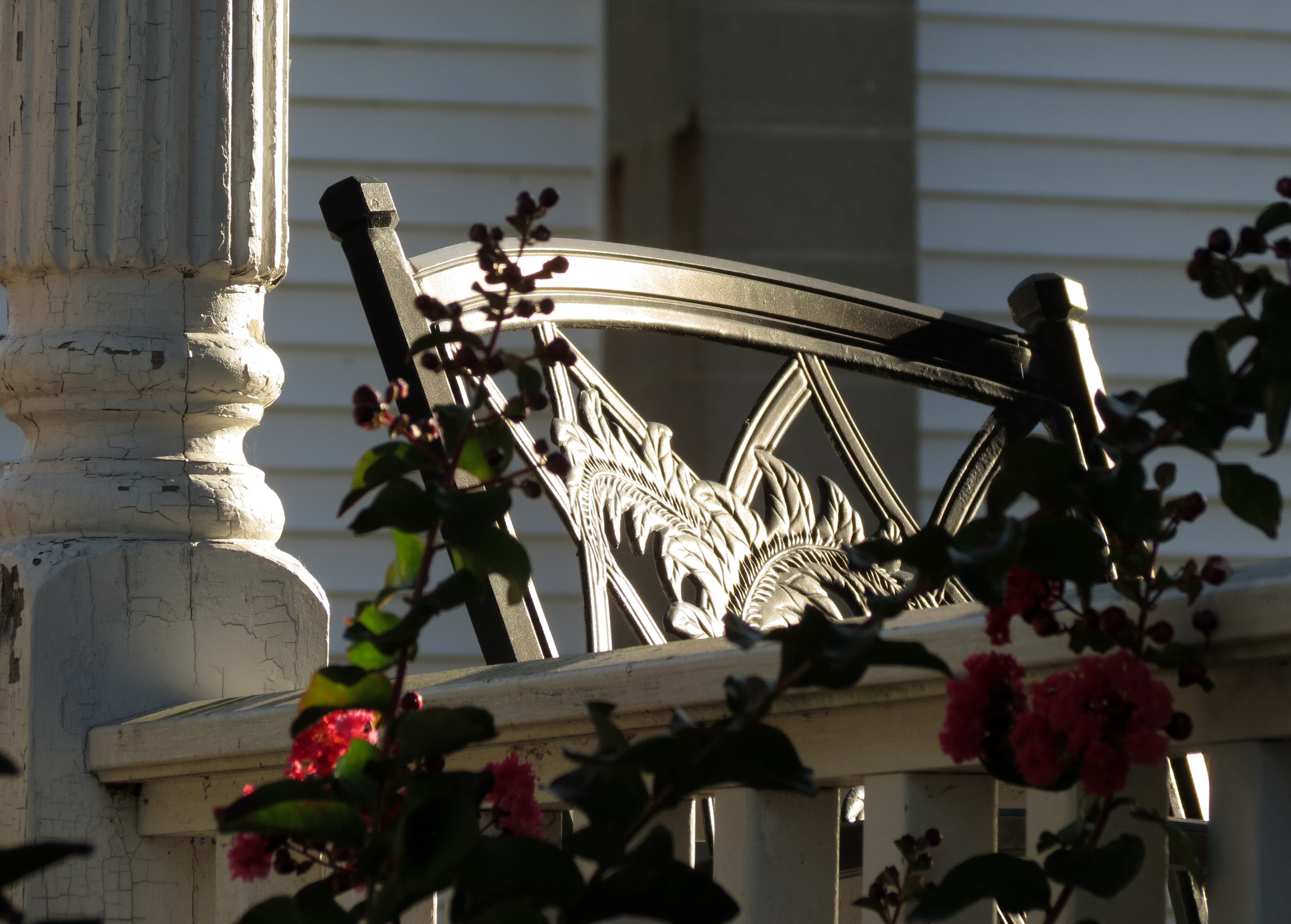
The beer was cold, the music was classic rock, and several in the crowd were dancing. What really attracted my eye though, were the bright flags flapping in the wind against the brilliant blue sky.


You must be thinking: “really, LB, a post about flags? The kind that can easily be found flying at any car dealership”. What can I say? They made me happy!
Eleven days ’til the Fall Bike Trip!! Now THAT really makes me happy!

… people might want to employ someone to bring them coffee in the morning.
It was a beautiful but chilly ride home after the 7th Annual Layne Creed Memorial Ride last night, and so I decided that for once, I was not going to multi-task my way through the morning. You’ve been there … throw in a load of laundry, bake biscuits for a friend, edit photos, and have a cup or two of coffee while checking FaceBook and WordPress, writing out the grocery list and doing the bills. For one hour, I was going to sit on the couch, with a cup of coffee, under a favorite quilt and just enjoy.
A perfect plan!
Until I realized that I would need to get up and out of my warm cocoon and get another cup. Curses! (yeah, I know … life is tough).
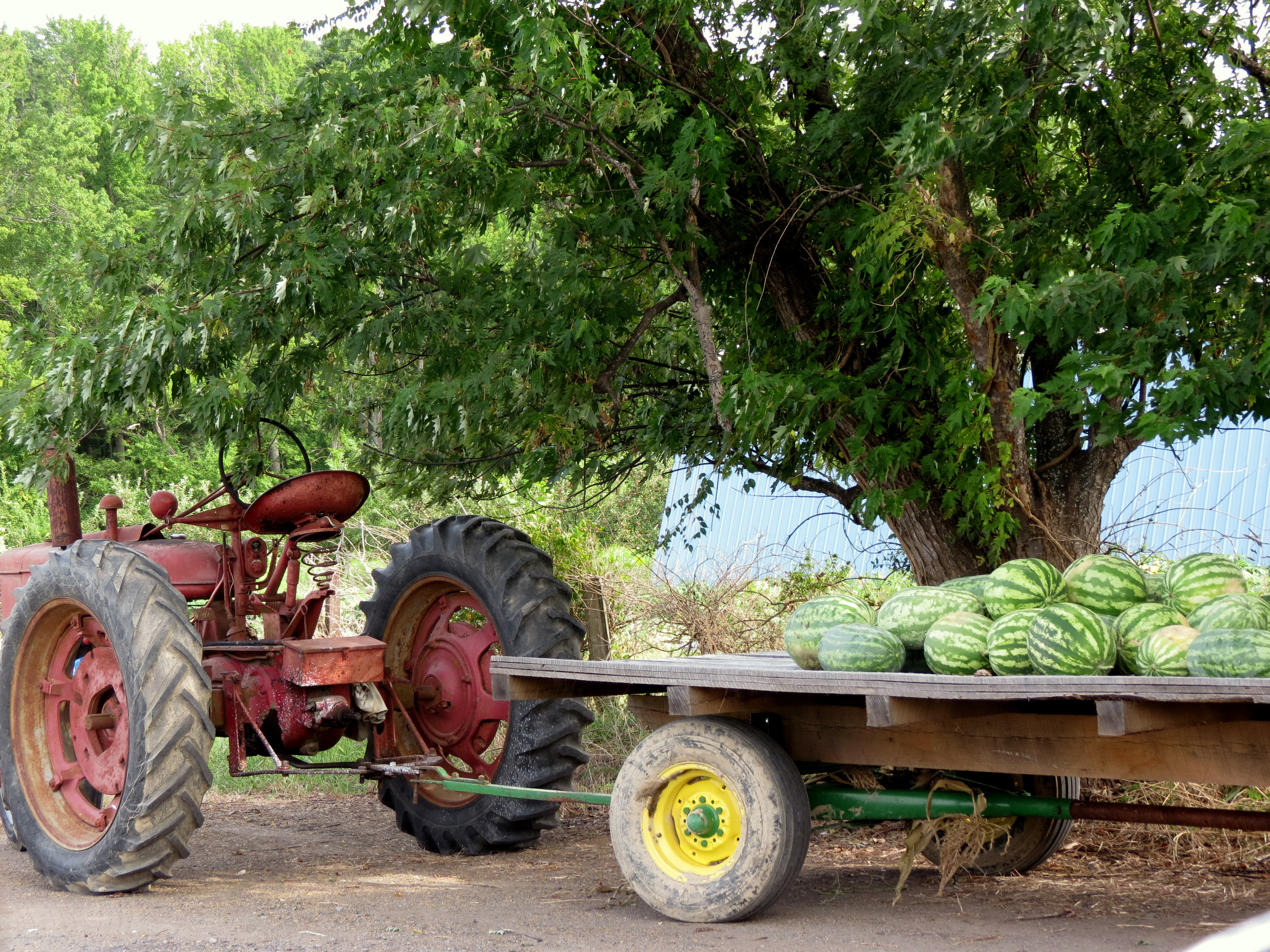
The ride was a huge success! In the memory of Layne Creed, over 150 bikes with over 220 drivers / riders set out to raise money for the Children’s Center of Surry County and two Surry County Community College Scholarships. I really didn’t take many photos since I spent most of the day on the bike.
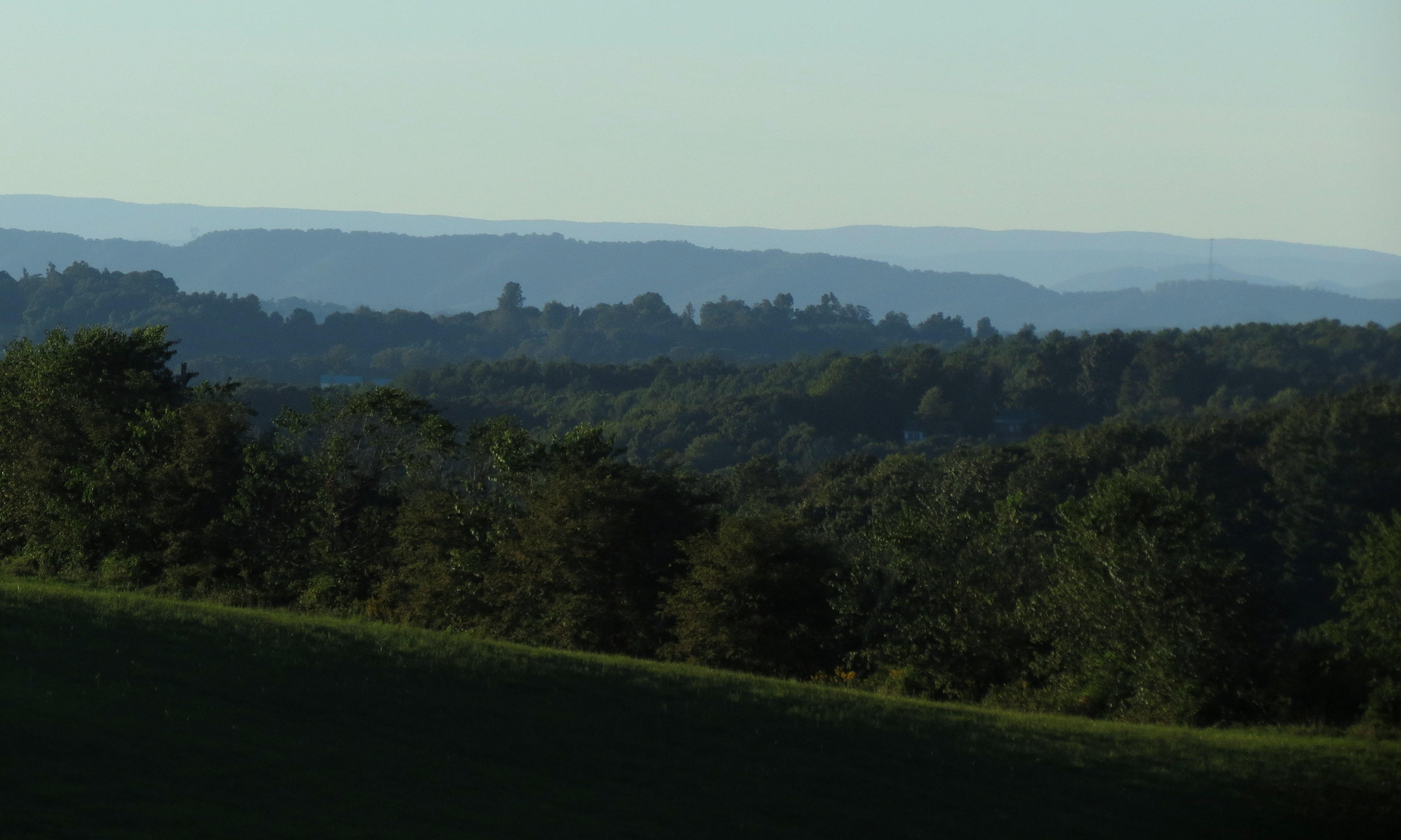
This is the morning of the ride, looking out over Draper Valley towards the Blue Ridge. The morning mist still hovers over the mountains.

Waiting to ride
Halfway home, along Rt 52, near Cana, North Carolina
Now … about those chores (after I check out your blogs!)
Enjoy your Sunday, everyone!
(Update: The 7th Annual Ride raised $8000!)
The final day of the ride is always a little sad for me. I am just not ready to go home!
Bethany Beach was in my mirrors by 8am as I had a long road ahead of me. The plan was to stop somewhere along the way for breakfast and of course, I was thinking local business. Fifty miles before I reached the restaurant, I saw the sign for Holly’s and that became my breakfast destination. If it was the hometown diner that I expected, I knew that I’d be eating more calories than I needed.

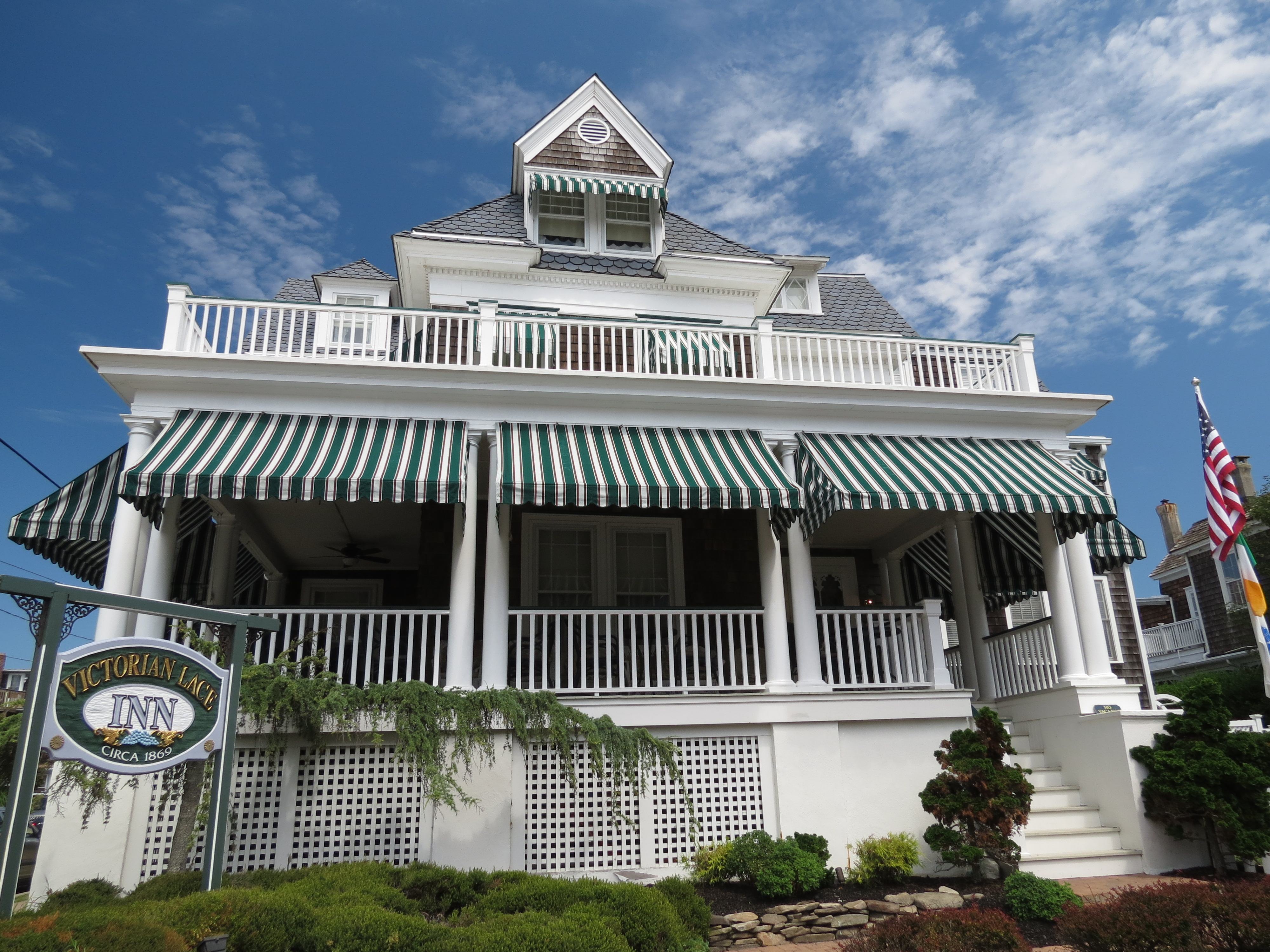
Holly’s, a restaurant celebrating 57 years in business, is advertised as the “Meeting place of the Eastern Shore”. I was hopeful, based on appearance, that I’d be a happy customer.
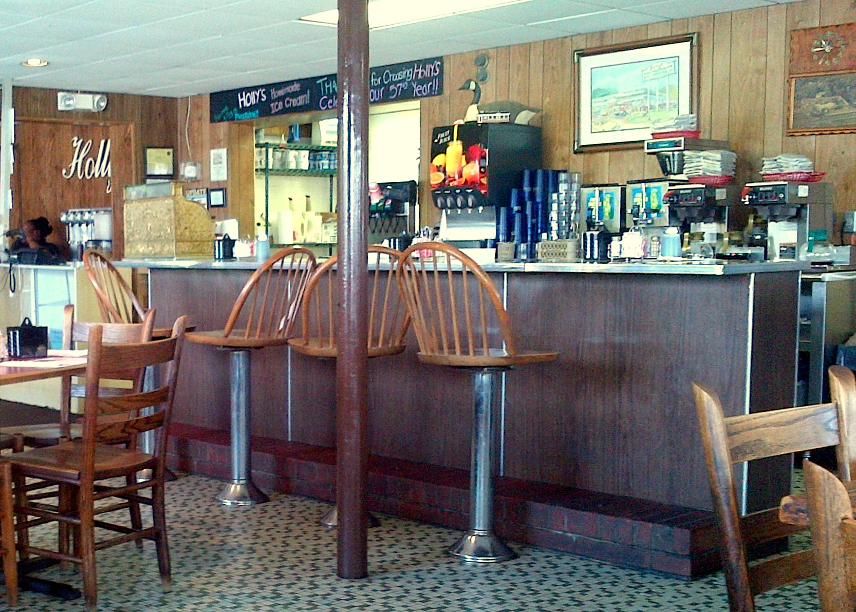
Doesn’t this remind you of the good ol’ diners from yesteryear?
Unfortunately, it wasn’t quite the nostalgic experience that I’d hope it would be.
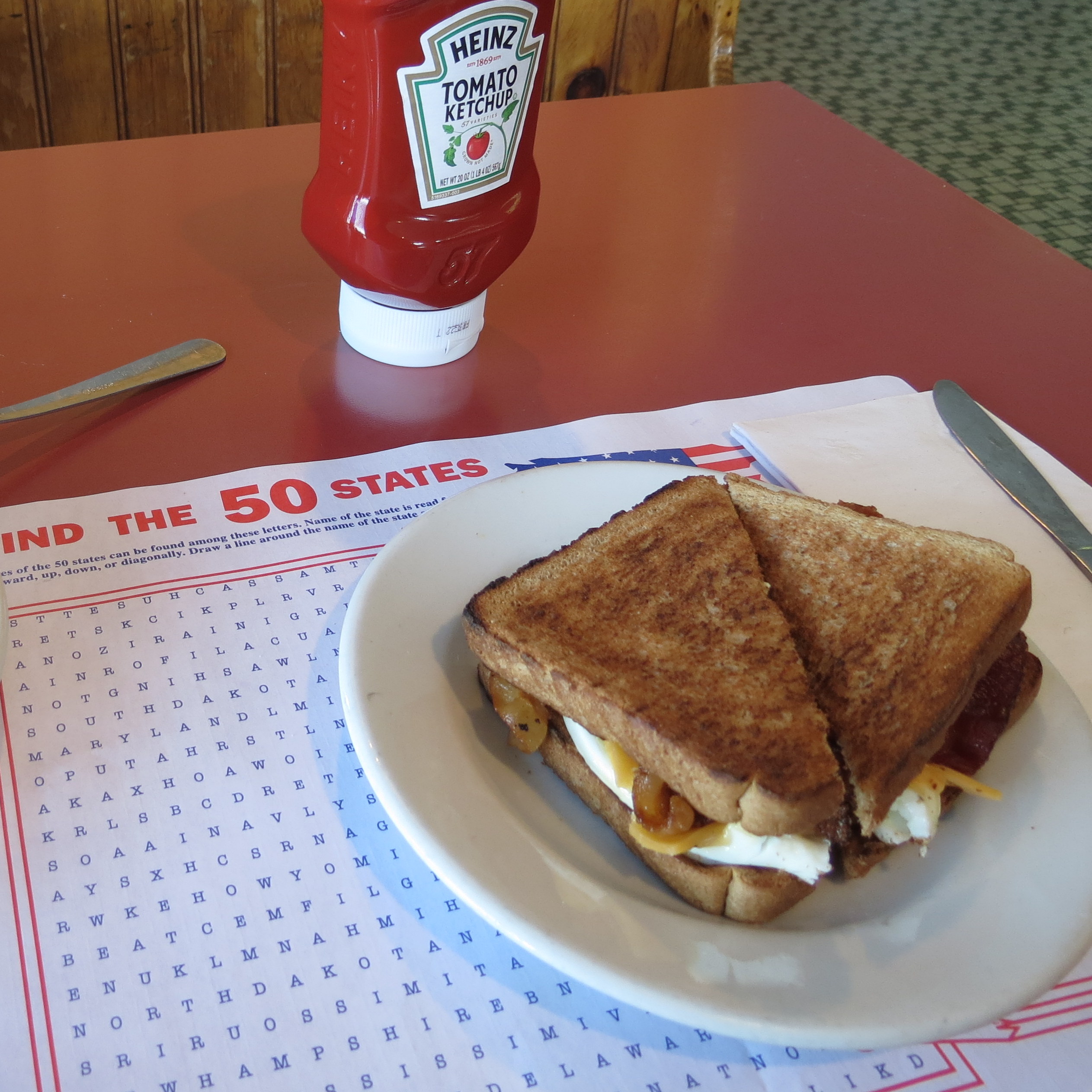
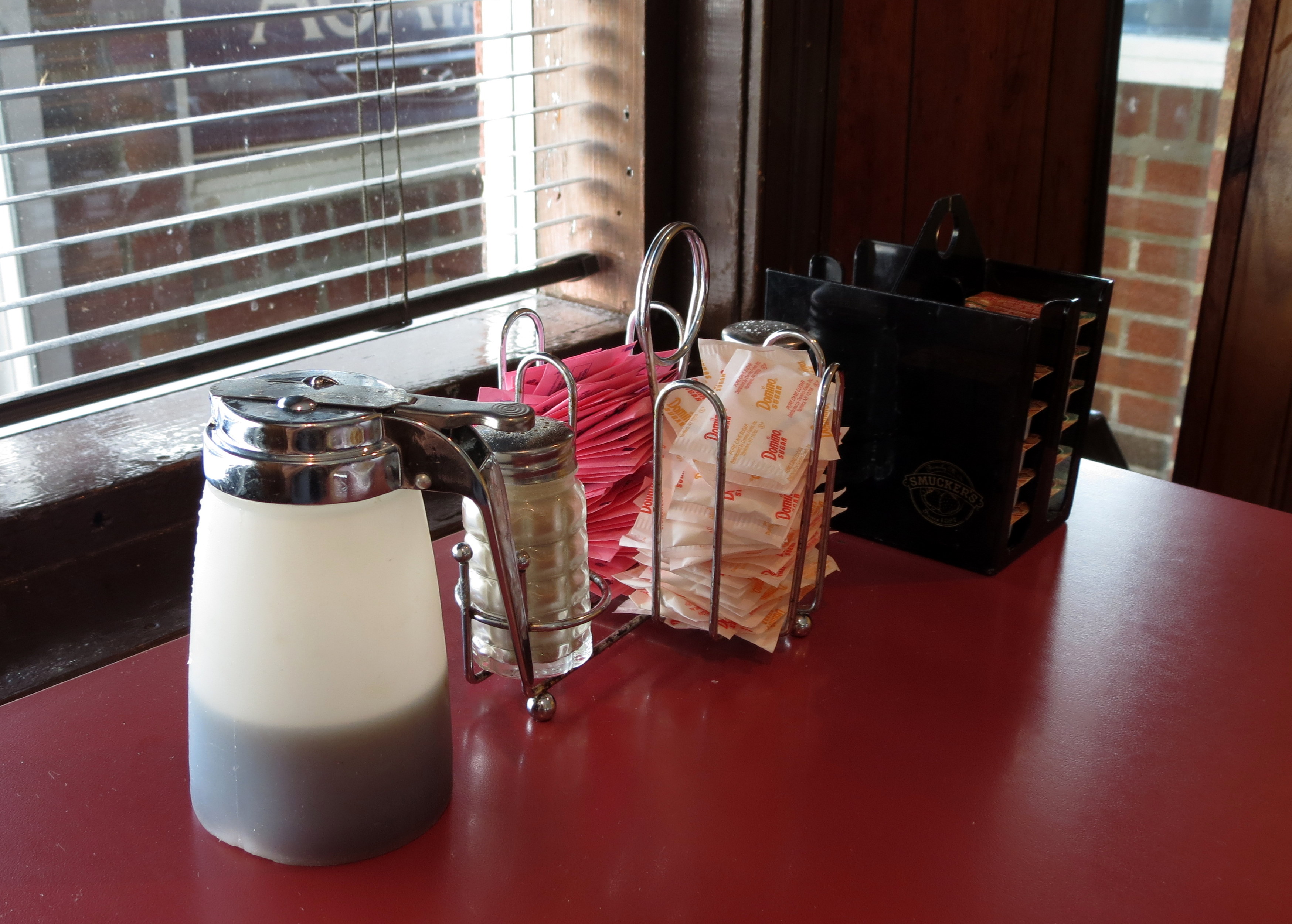
The staff was uninterested, not a smile on a face to be seen, and the food was just so – so. I did like the memory of the 50 States placemat and the gun over the door. The cash register is no longer in use, but I love that it still sits there on the counter.

My timing was perfect as I made it back over the Cheapeake Bay Bridge (woo hoo!) and around Washington DC without hitting rush hour traffic. Once near Warrenton, I was able to leave the beltway / highway system behind, and get back to smaller state roads.
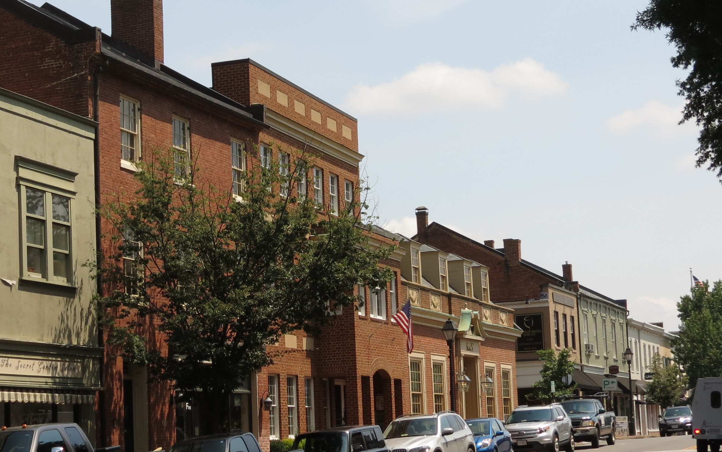
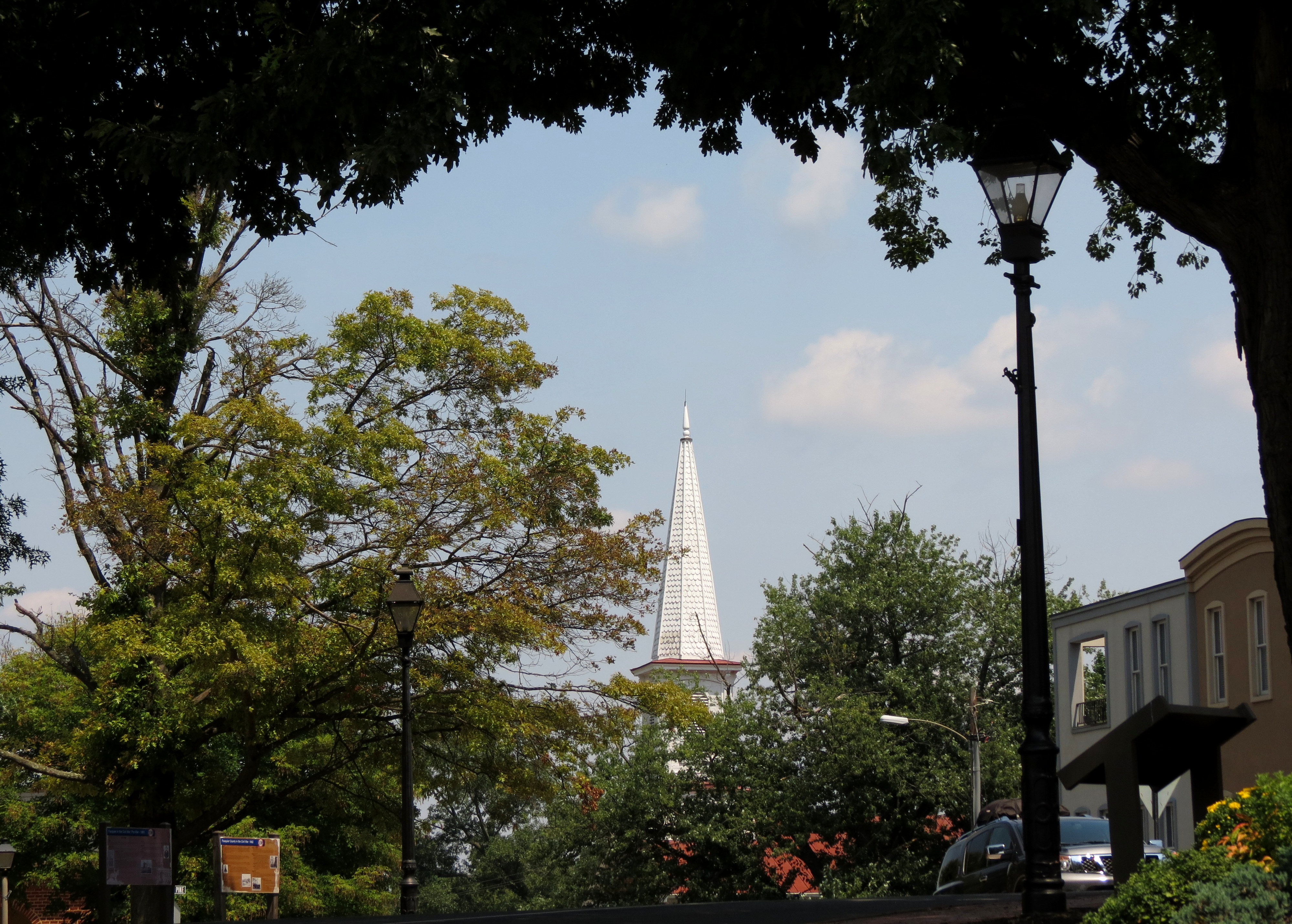
Warrenton is a town of less than 10,000 people in Fauquier County, and like many Virginia localities, has a history that spans the Colonial-Revolutionary Era, the Civil War Era, and the Reconstruction-Civil Rights Era. My very brief stop and walking tour was no where near long enough to explore this town, whose historic district was listed on the National Register of Historic Places in 1983.

On the grounds of the Courthouse is a small collection of historic items. This first item, according to the marker, is a naturally formed, ancient stone that was used as a mounting block for carriages and horses … but also as a slave auction block.
That sure stops you cold, doesn’t it?


As I rode those last 200 miles towards home, several things crossed my mind:
1. Produce Stands – all along the road through Delaware and Maryland I passed produce stands. The fruits and vegetables looked so fresh! This is NOT the time to be on the bike!
2. Bus Stands – many of the rural homes have covered bus stands at the end of the driveway to provide protection for children waiting for the school bus. The stands are evidently paid for by local businesses and it was disconcerting, to say the least, to see advertising for the local funeral home on the side of child’s school bus stand.
3. Money – I’d be riding down a road in the most rural part of a county and I’d see houses and farms falling down at the seems. The Churches? New construction, flashy signs, big paved parking lots. Hmmm ….
4. Bikes – I saw very few bikes throughout the 7 day ride. I’m guessing bikers don’t think of this year’s ride route as a bike destination.

I knew that I was drawing near to home when I began to see mountains behind me …

… and mountains in front of me.
Around 5pm, after being on the road since the morning, I was thirsty for that end of the ride day beer. Unfortunately, by riding Rt 11, and not the interstate with it’s multitude of restaurants, made finding a beer difficult! I finally found a small place that was open outside Buchanan, and pulled up to talk with the elderly gent sitting on the porch.
“Do they sell beer here” I asked?
He replied with a “Maam?”
I repeated “Can I get a beer here?”.
He looked at me with a long look and said (picture the guys outside the Courthouse in Mayberry) “Nooopppe” (said with a long drawn out drawl). Sadness!! Now, please understand, I LOVE Andy Griffith! I still faithfully watch the show whenever I can! And I love Appalachia and SWVA. But I really, really wanted a cold one!
Ah well, it was time to just kick it in gear and get on home.
Even though I am rarely ready to go home, I am comforted by the view of local scenery and the realization that home is a good place to be. The rain started to fall as I pulled into the driveway of Liz and Wilson’s home. They took the traditional end of the trip picture, and handed me a bag that contained some food for dinner … AND also inside that bag? A lovely cold beer!!
Nothing like friends to welcome you home in style!

Yep … that’s me … after 12 hours on the road!

And that’s my helmet … boasting several new stickers.
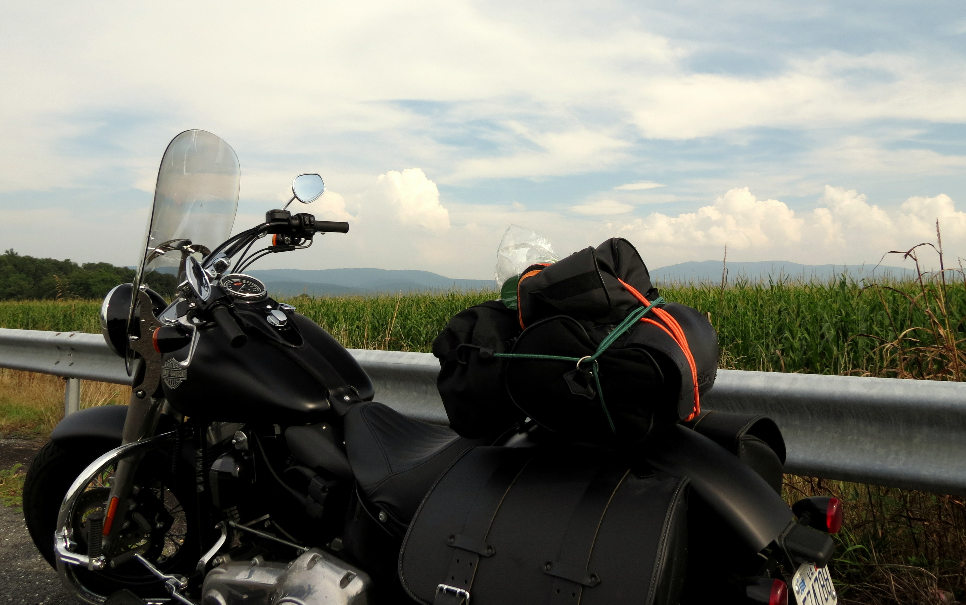
So after riding almost 1900 miles in 2 weeks (1400 during this 7 day trip), I was home.
A cold beer in my hand, my family and friends checking in to make sure I’d arrived safely, and the sound of rain falling on the roof. Seriously?
I could not have been more content!
Does it seem to you that the 2013 Bike Adventure is lasting forever? I feel sure that it must! In reality, it was 7 days long but by not being able to upload photos from the road, I am posting now … almost 2 weeks after the trip!
On this, the 6th day of the trip, I rode the bike to Lewes, DE in order to take the ferry across the Delaware Bay to Cape May, NJ. It was much less expensive (by almost $40) to ride over as a pedestrian than it would have been to ferry the bike over and because of that I was able to get a cup of coffee and relax while the cars and bikes were loaded. Even better, I was able to see the Kalmar Nyckel, Delaware’s seagoing goodwill ambassador ( http://www.kalmarnyckel.org/).
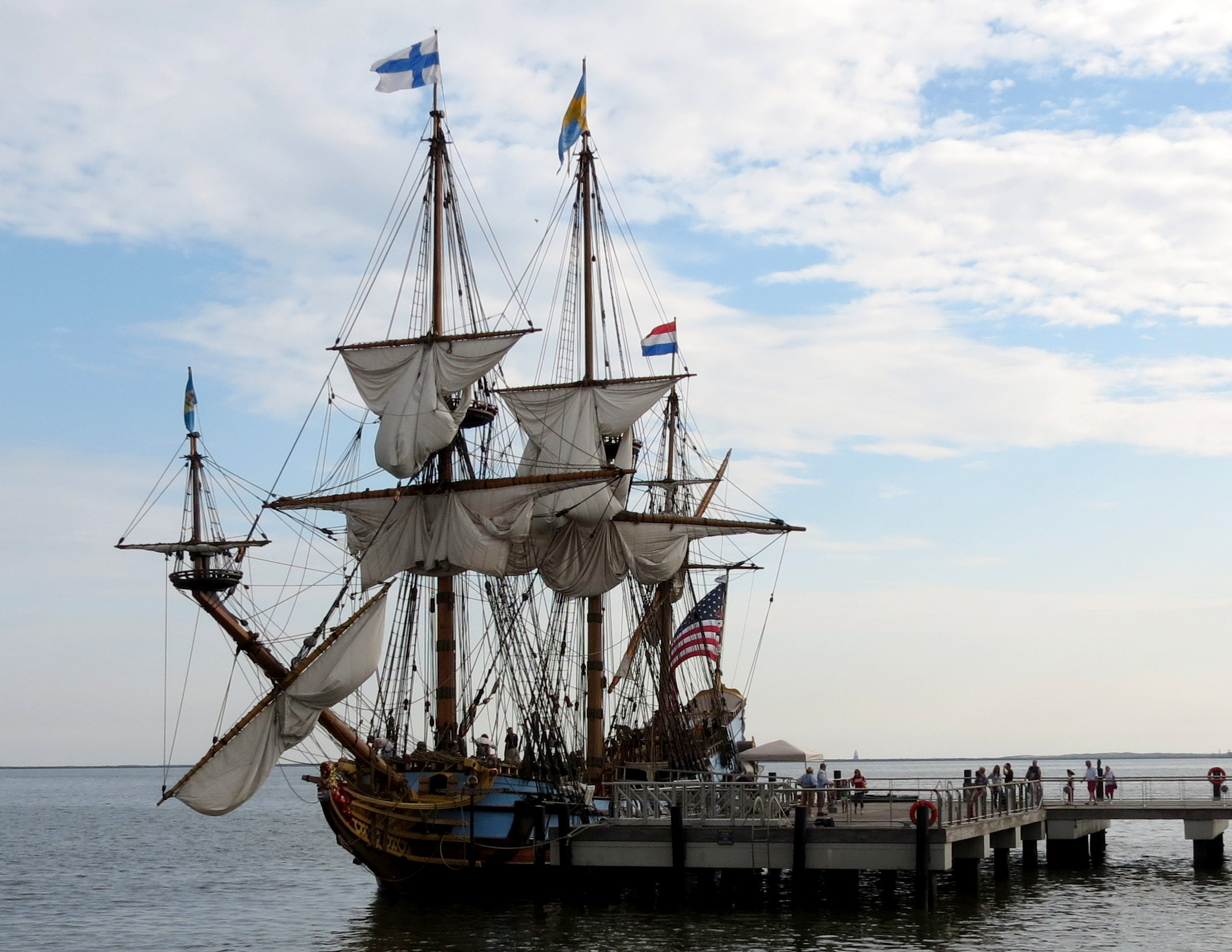
The original Kalmar Nyckel sailed from Sweden to the New World in 1638 leaving its passengers to establish the first permanent European settlement in the Delaware Valley, the Colony of New Sweden in present-day Wilmington, Delaware.
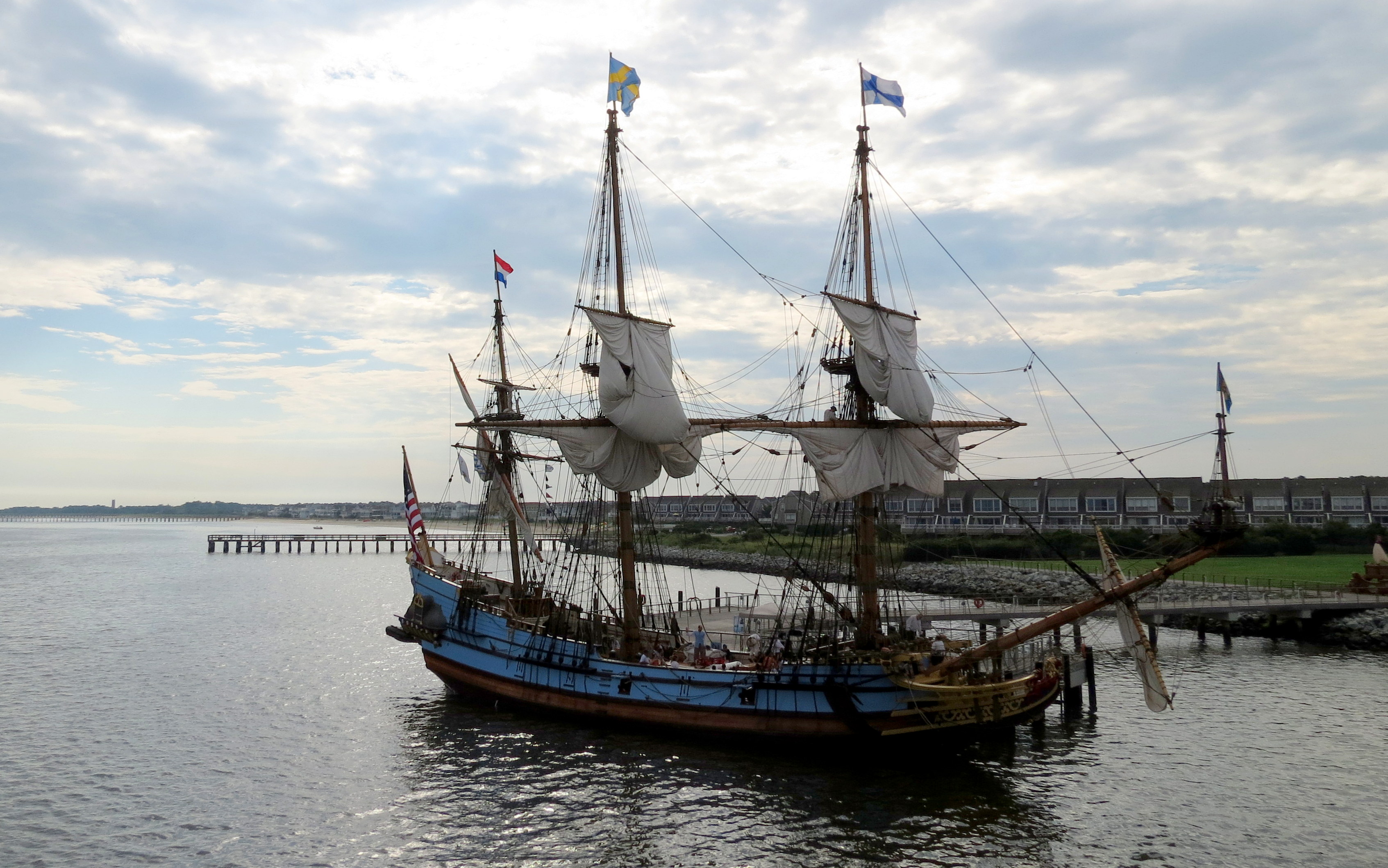
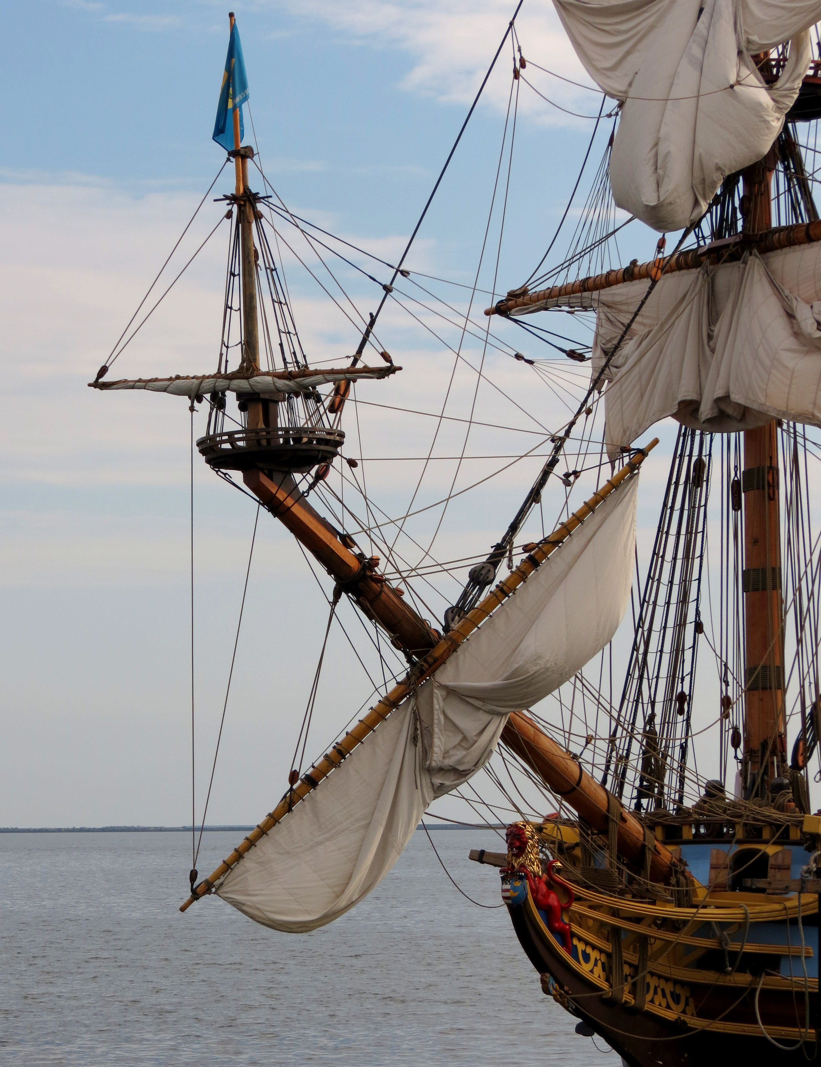
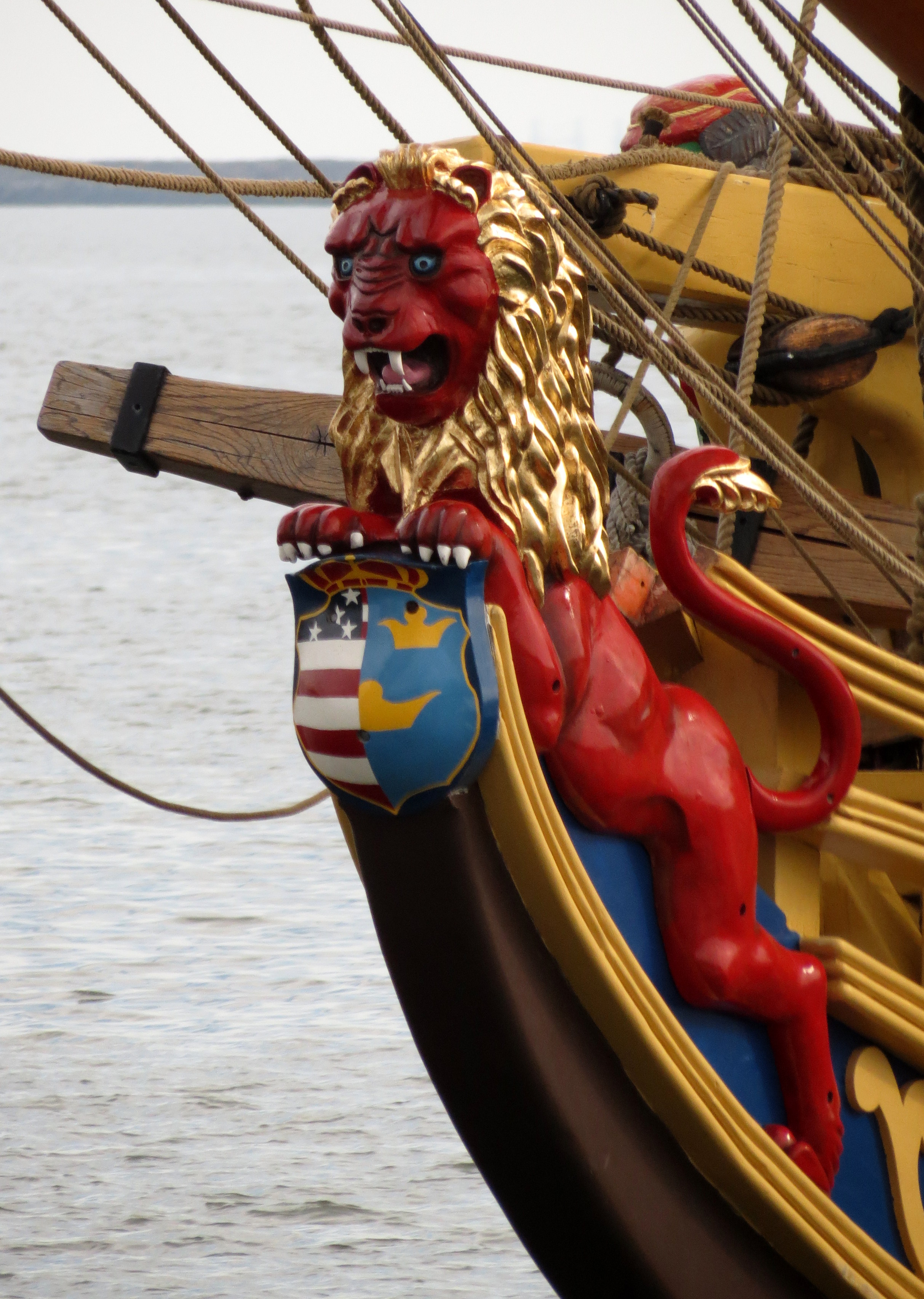
The replica of the Kalmar Nyckel was built by a group of committed citizens to be a continuing witness to the courage and spirit of those individuals who undertook the mid-winter North Atlantic crossing in 1637-1638. The Kalmar Nyckel Foundation notes that “its historical significance rivals that of the Mayflower, yet her remarkable story has never been widely told”. The public can schedule a tour and can sail on the ship, too.
What a contrast between this Tall Ship replica and the modern ferry.
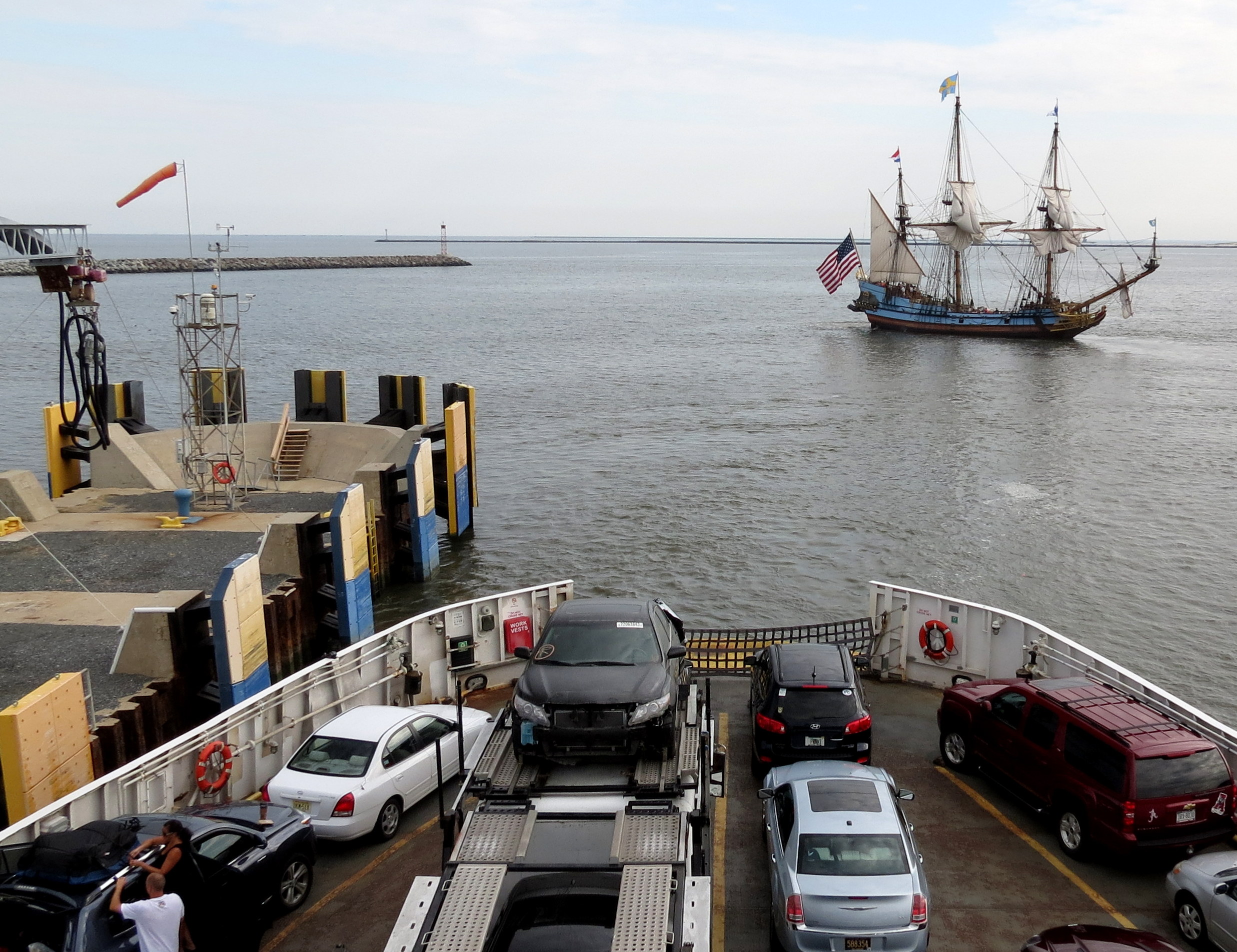
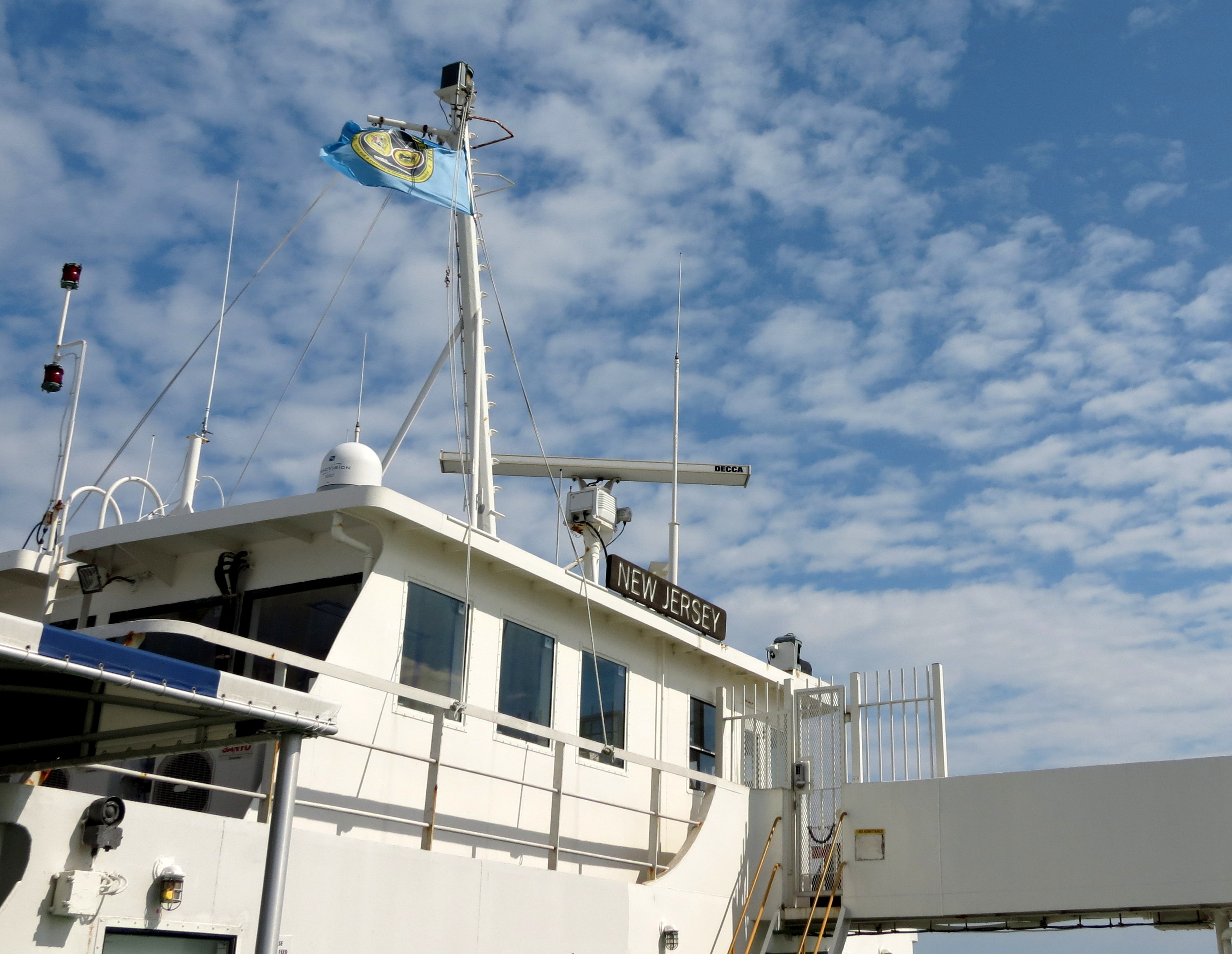
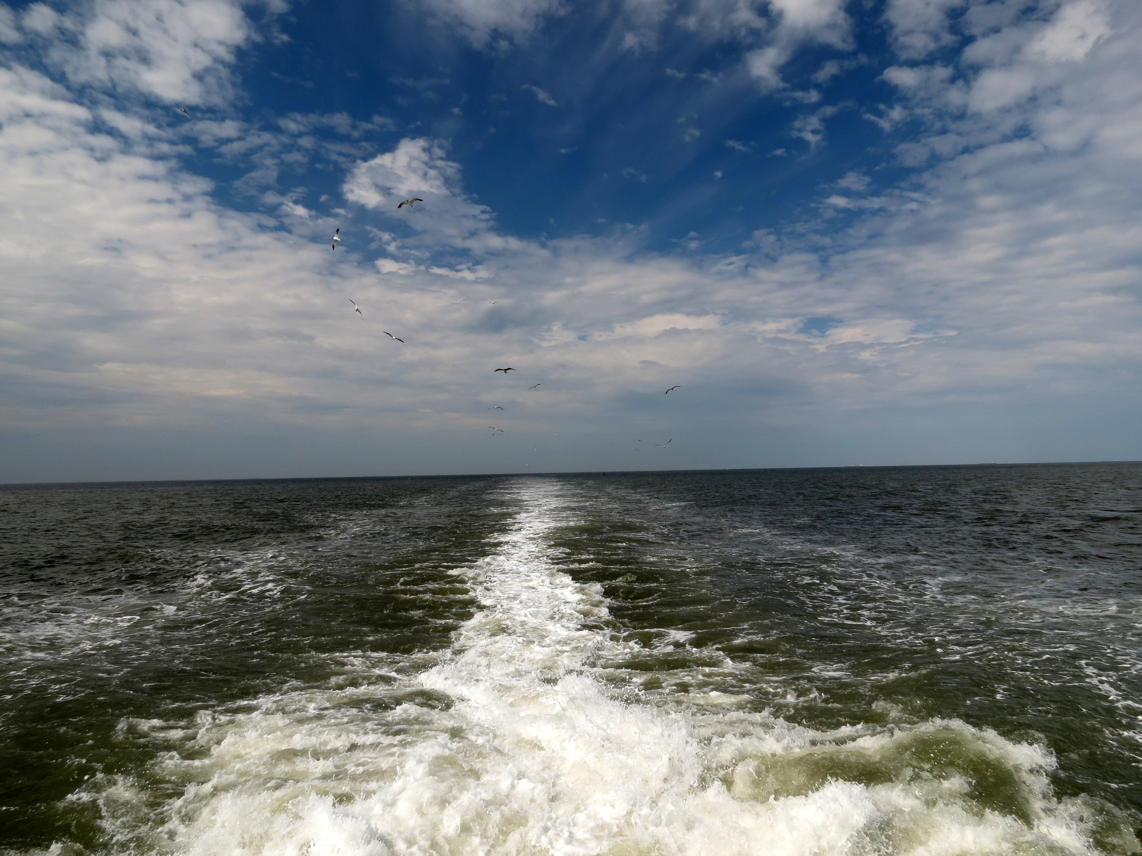
The ride to Cape May is not quite an hour and a half, which gave me plenty of time to explore the ferry and to relax.

Once on Cape May, I took the shuttle into the historic area. During the 6 mile ride, I had time to chat with the shuttle driver. As a former City Council Member, I am always interested in local government issues such as tourism and revenue generation. The driver noted that if local government officials had not had the strength to withstand those who wanted to tear down historic buildings and homes, then Cape May would be just like any other beach community filled with condos and high rise hotels. Instead, it is a booming tourist economy based on it’s history.
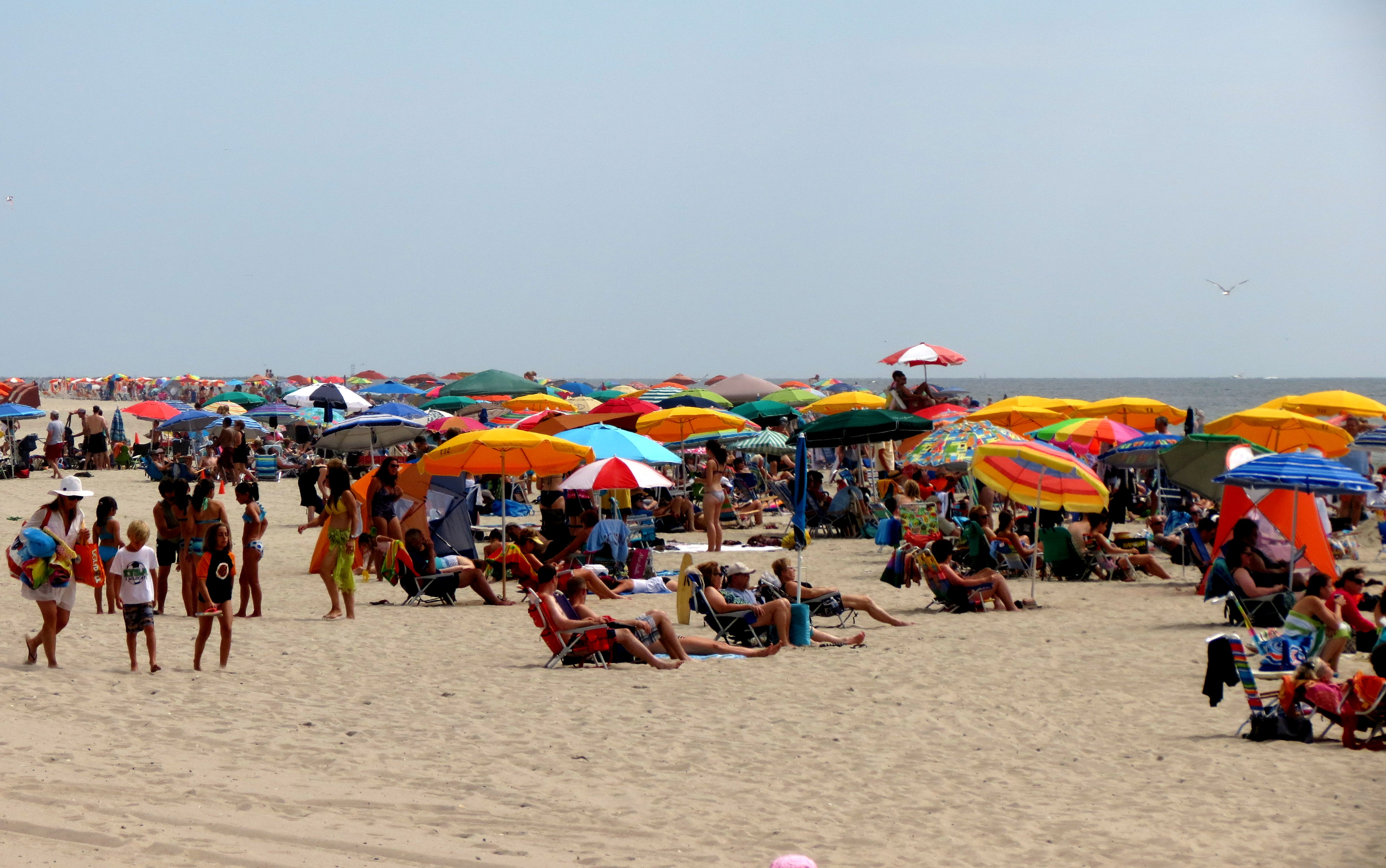
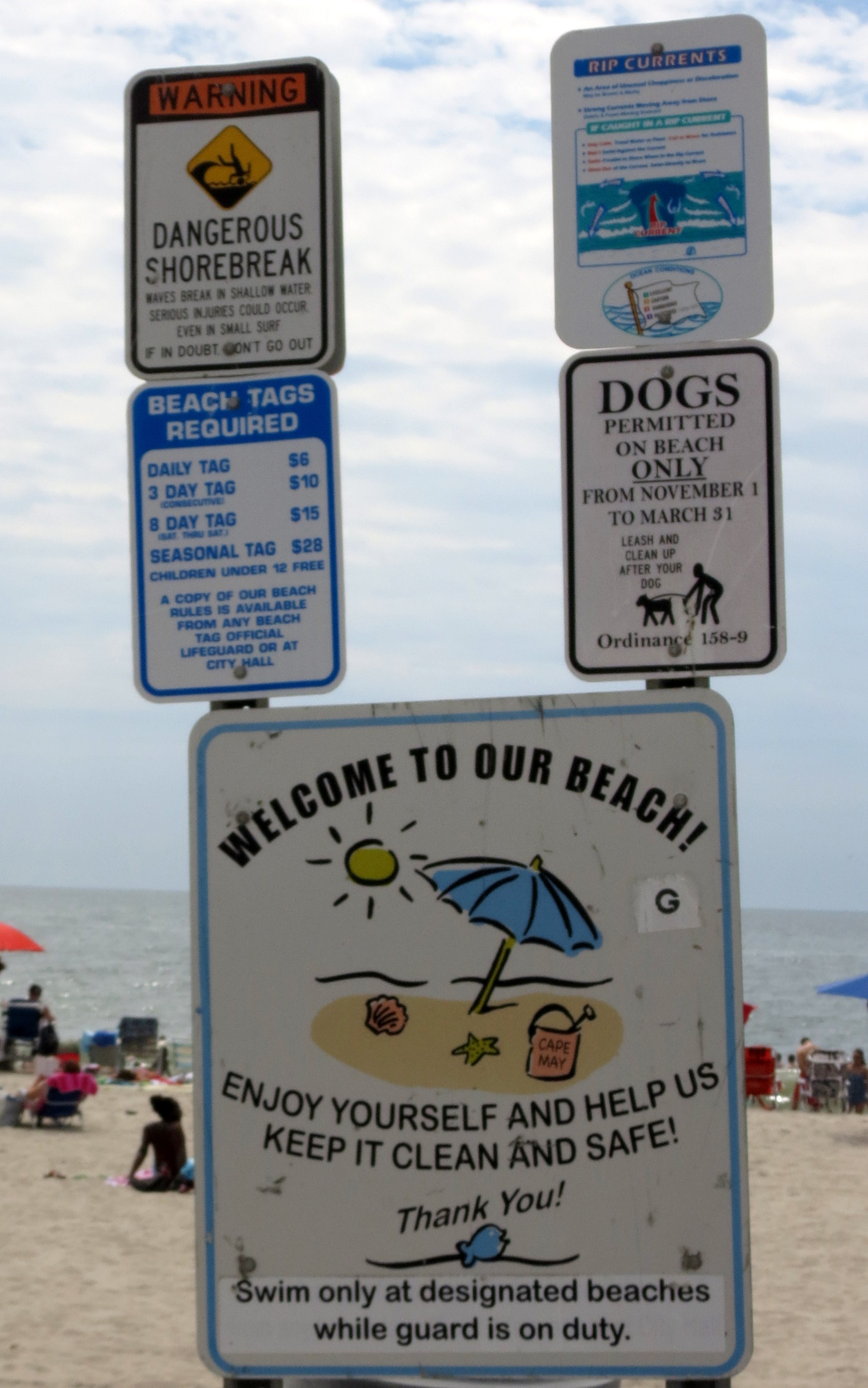
I walked for hours, first exploring the more touristy walking mall and then the beach, where you have to pay for beach access. That may not be a surprise to some of you, but it sure was to me!
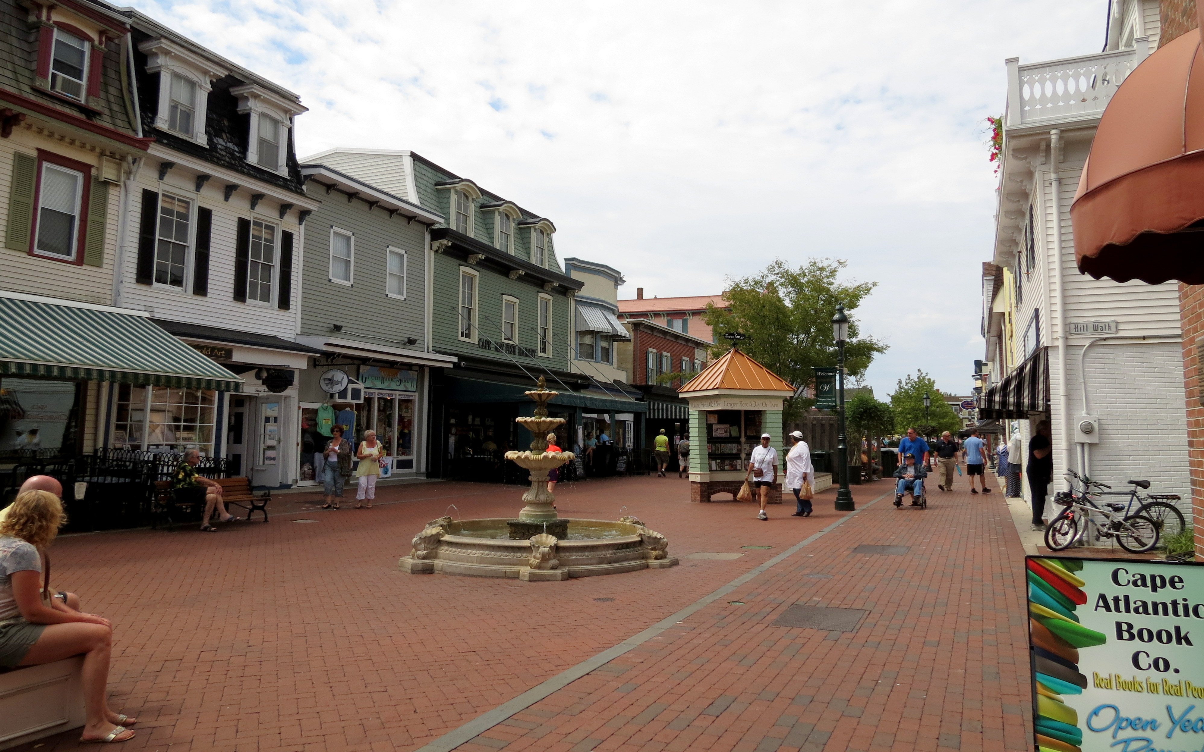

Following that I walked through the historic neighborhoods and had to keep pulling my jaw up off the ground. WOW!! Not your typical beach rental!


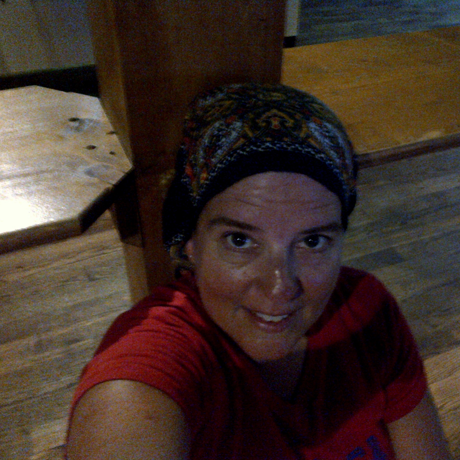
Lunch (and of course, that cold beer) were enjoyed at Jackson Mountain Cafe, and after that it was time to head back to get the shuttle. The trip back across the bay just seemed to call for an ice cream cone and the taking of a “selfie”. Can you tell I’m content?
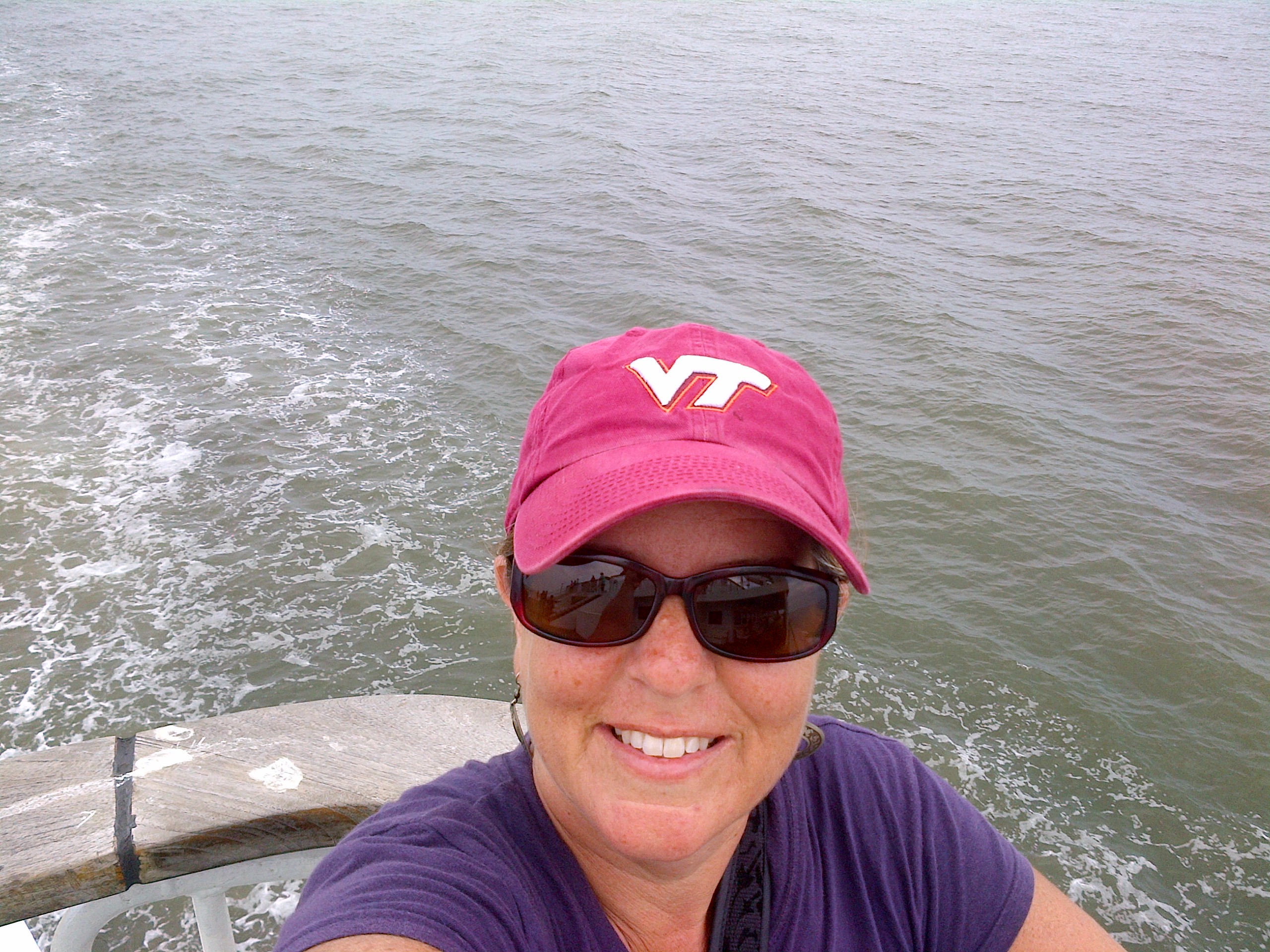
(I’m the one with the ball cap … ha!)


I quick stop in historic Lewes gave me more time to explore and opportunities for photography …. followed, of course, by a Bass on draft at The Rose and Crown.


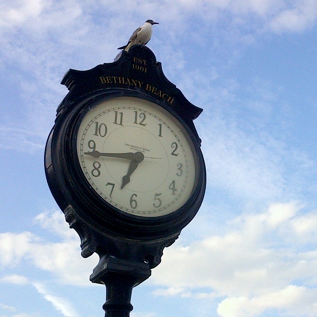
Then, it was one final stop in Bethany Beach …

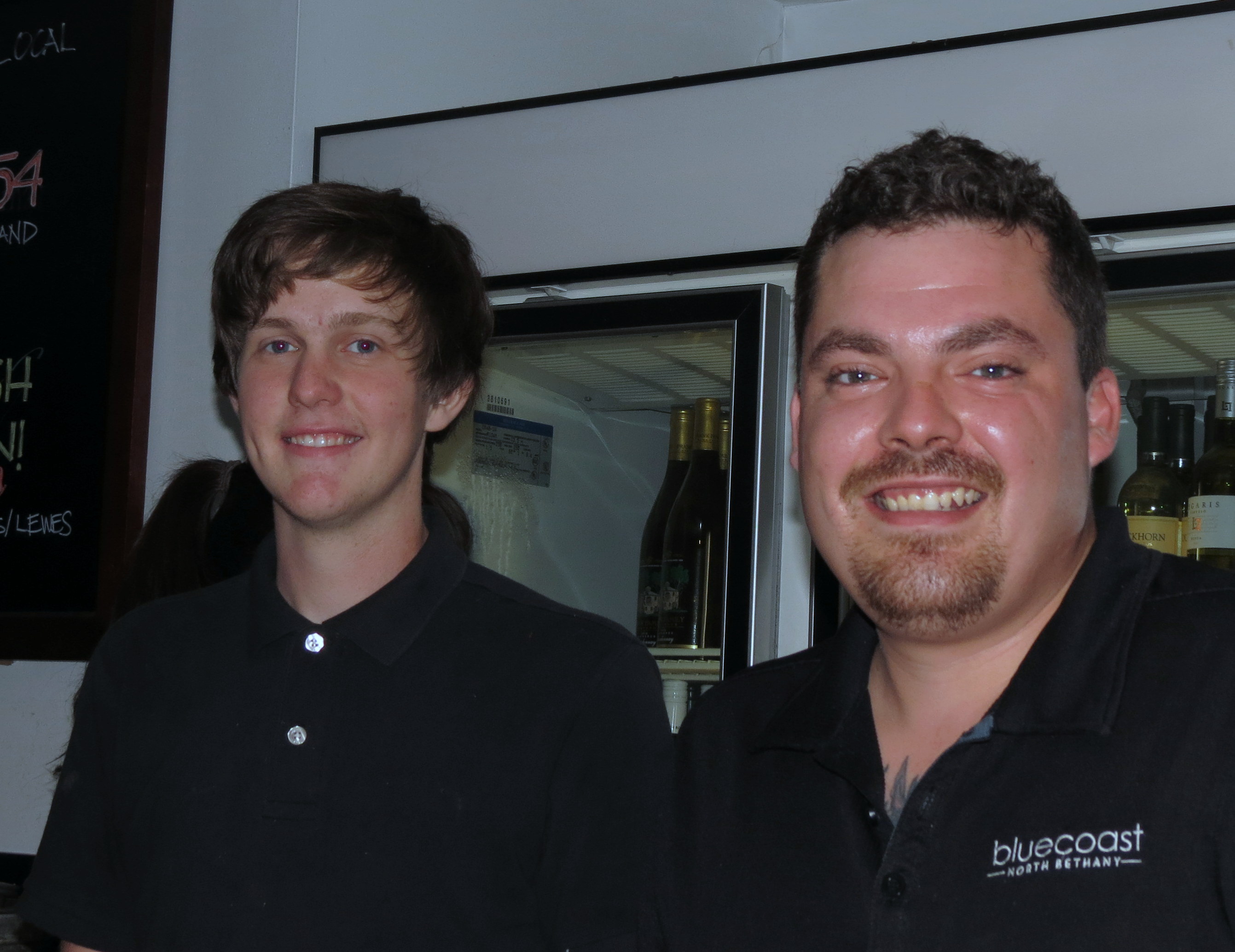
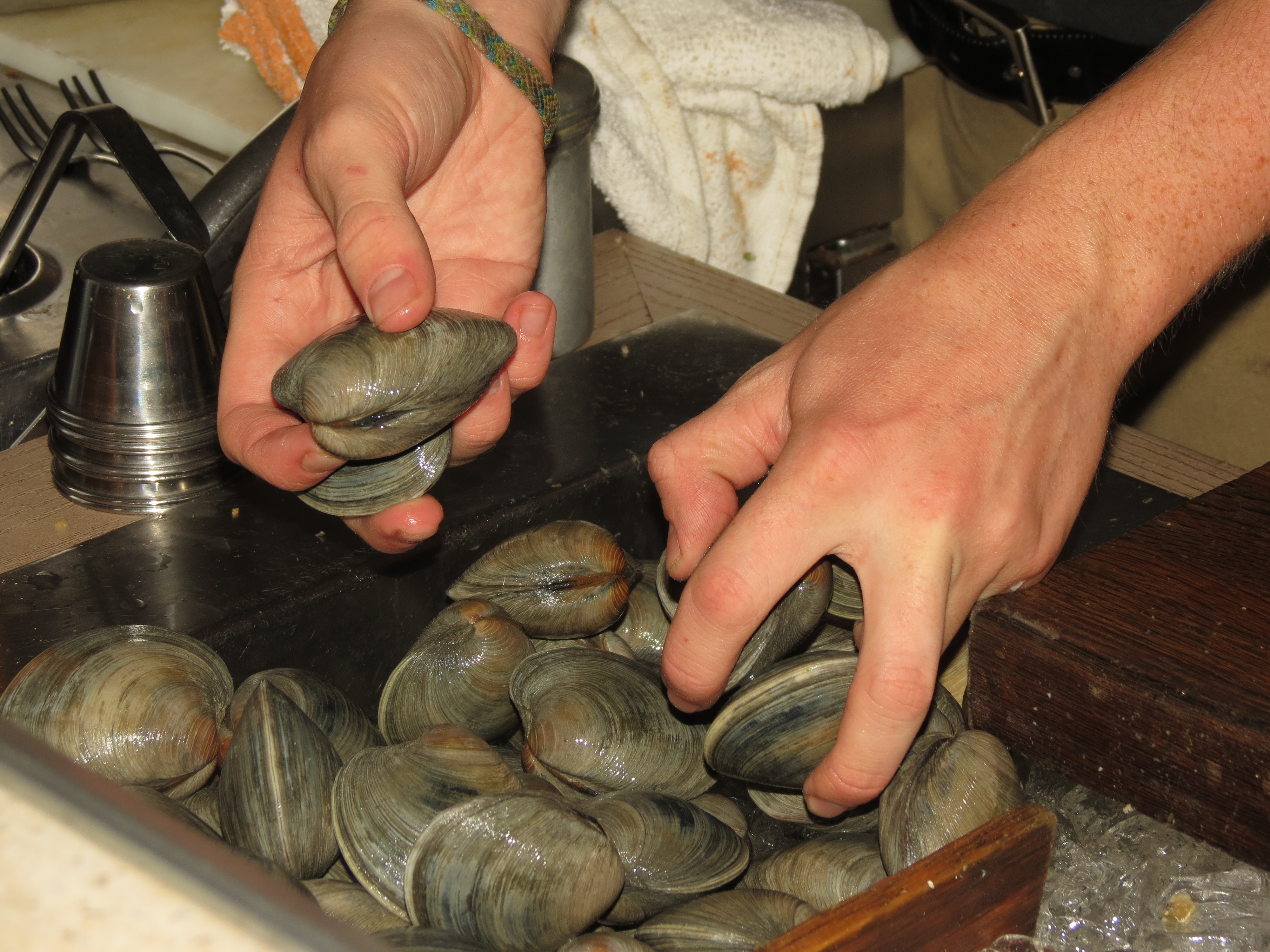
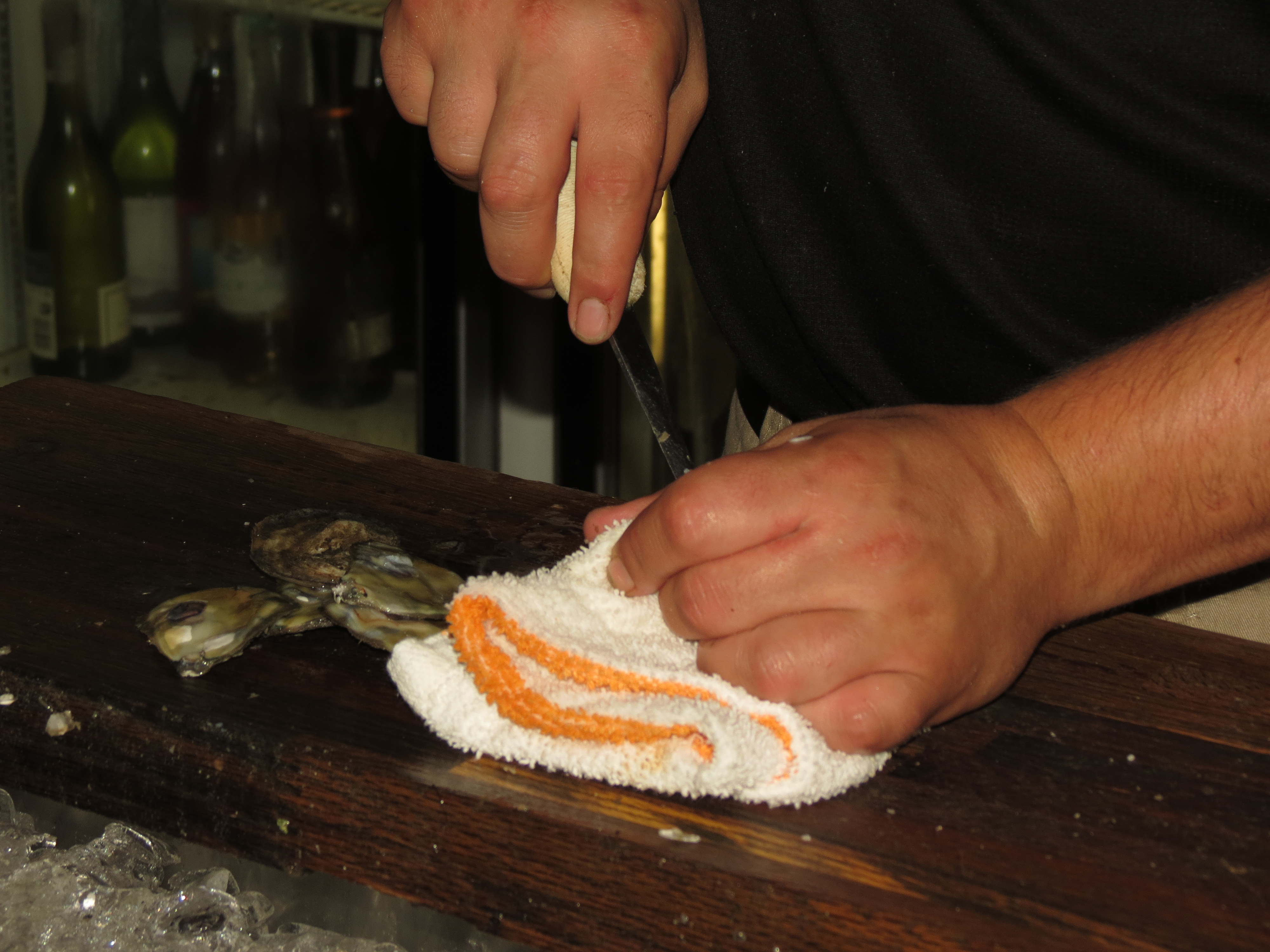
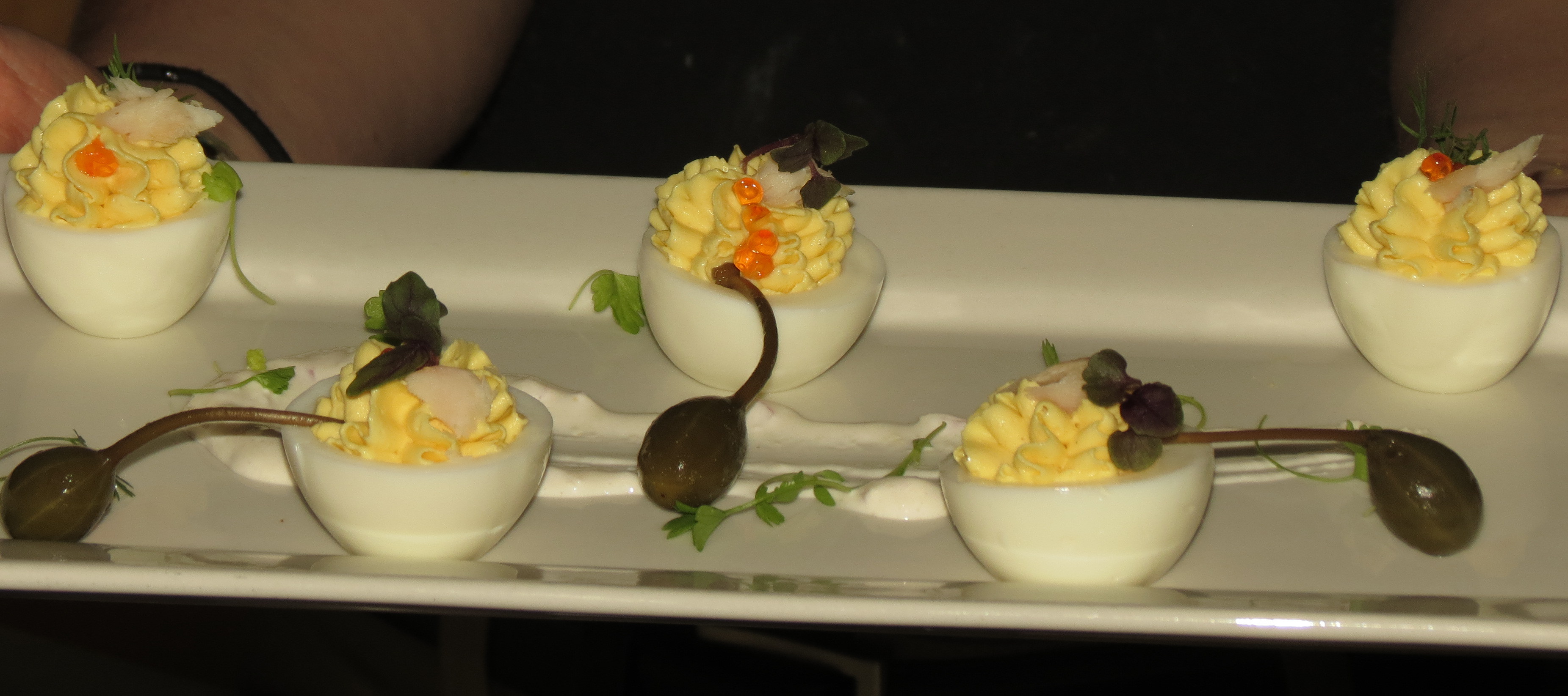
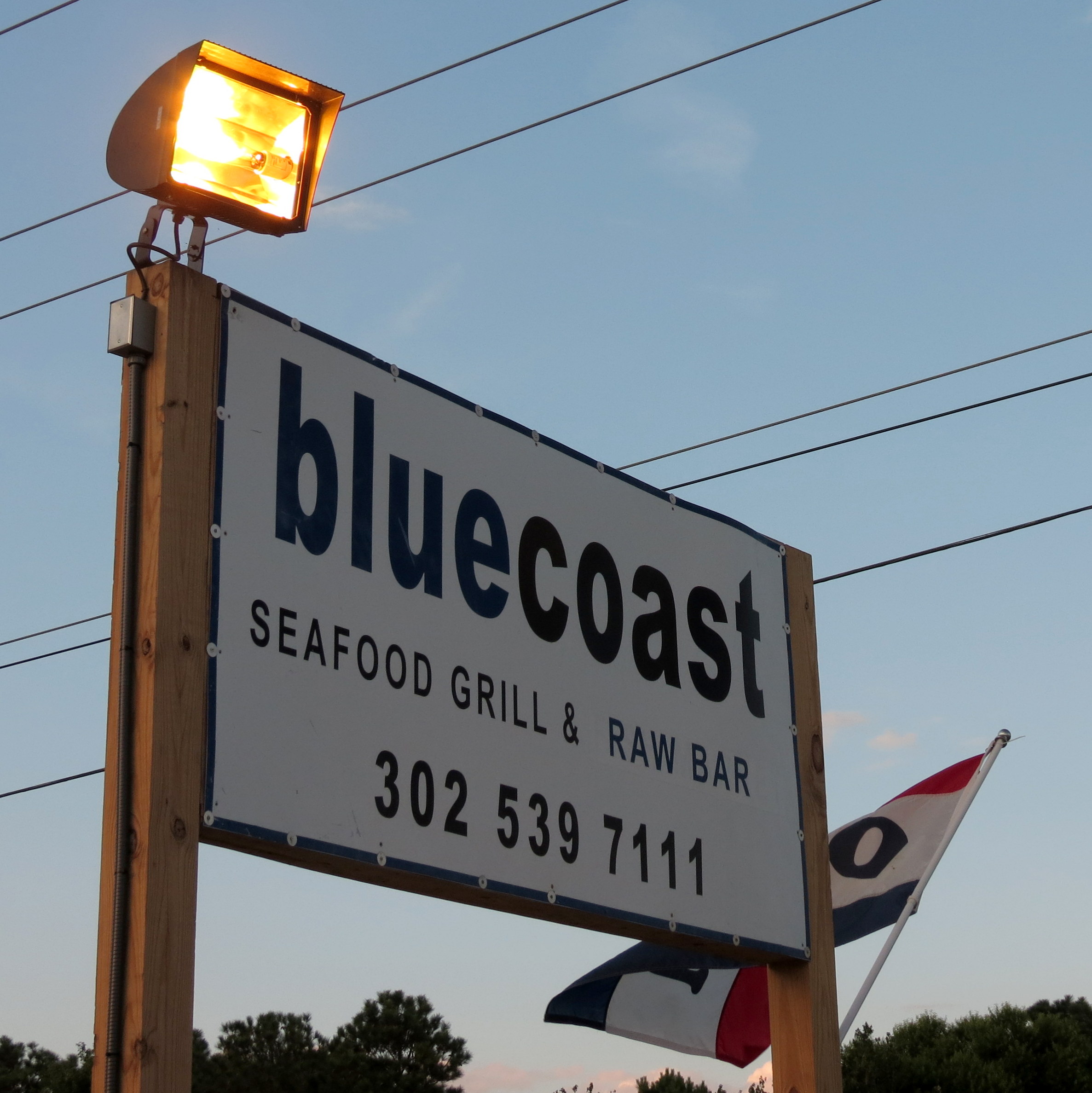
… before heading to Bluecoast for dinner and to buy a thank you gift certificate for friends. I had a blast watching Billy and Trevor shuck a zillion oysters and clams and prepare all kinds of yummy things to eat.
What a great day … and I can’t believe there’s only one more day of the 2013 Bike Adventure!!
The best part about being an early riser is getting to see the sun come up.

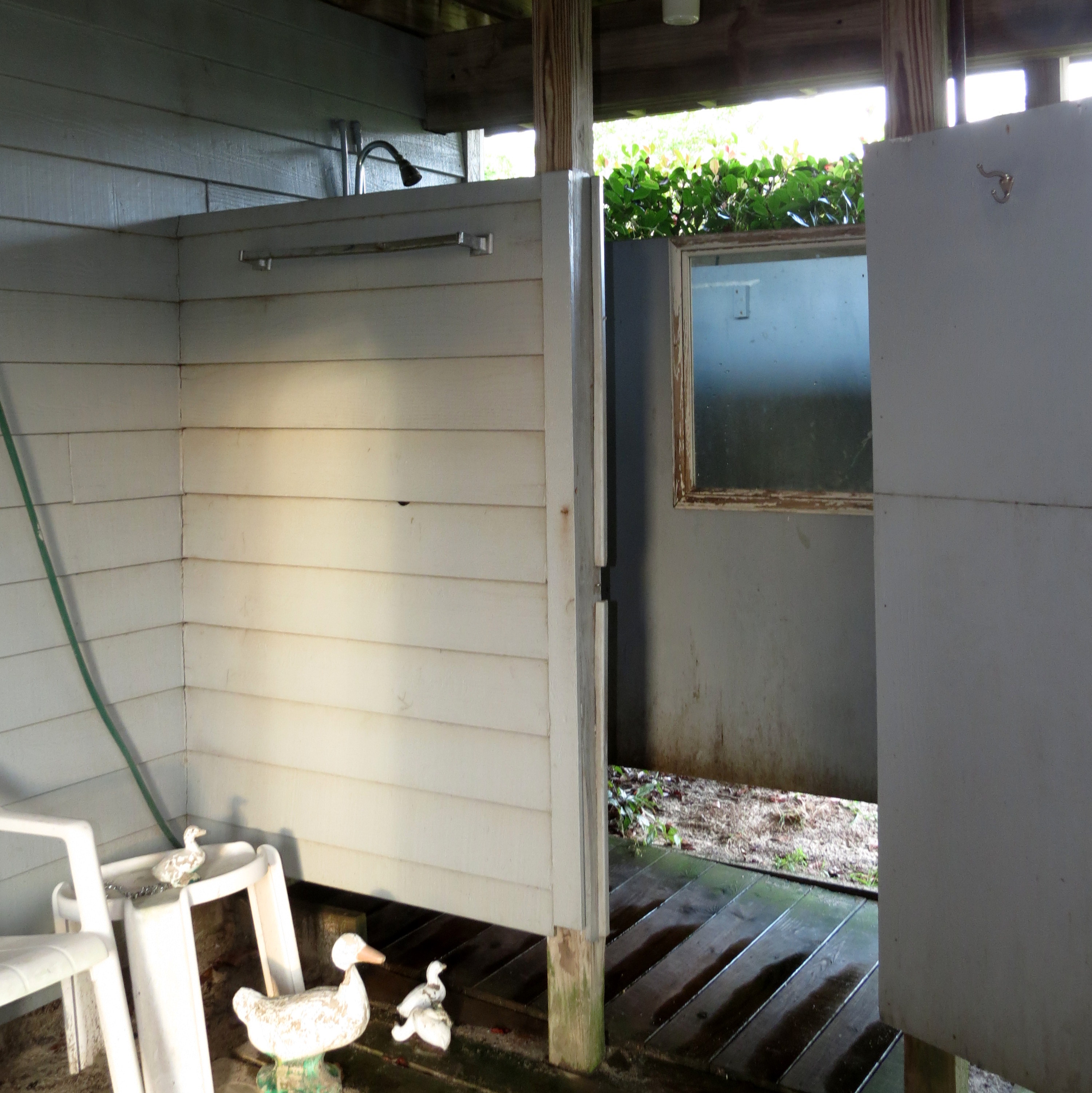
Then the morning got even better because I got to use this wonderful outdoor shower! What a treat!
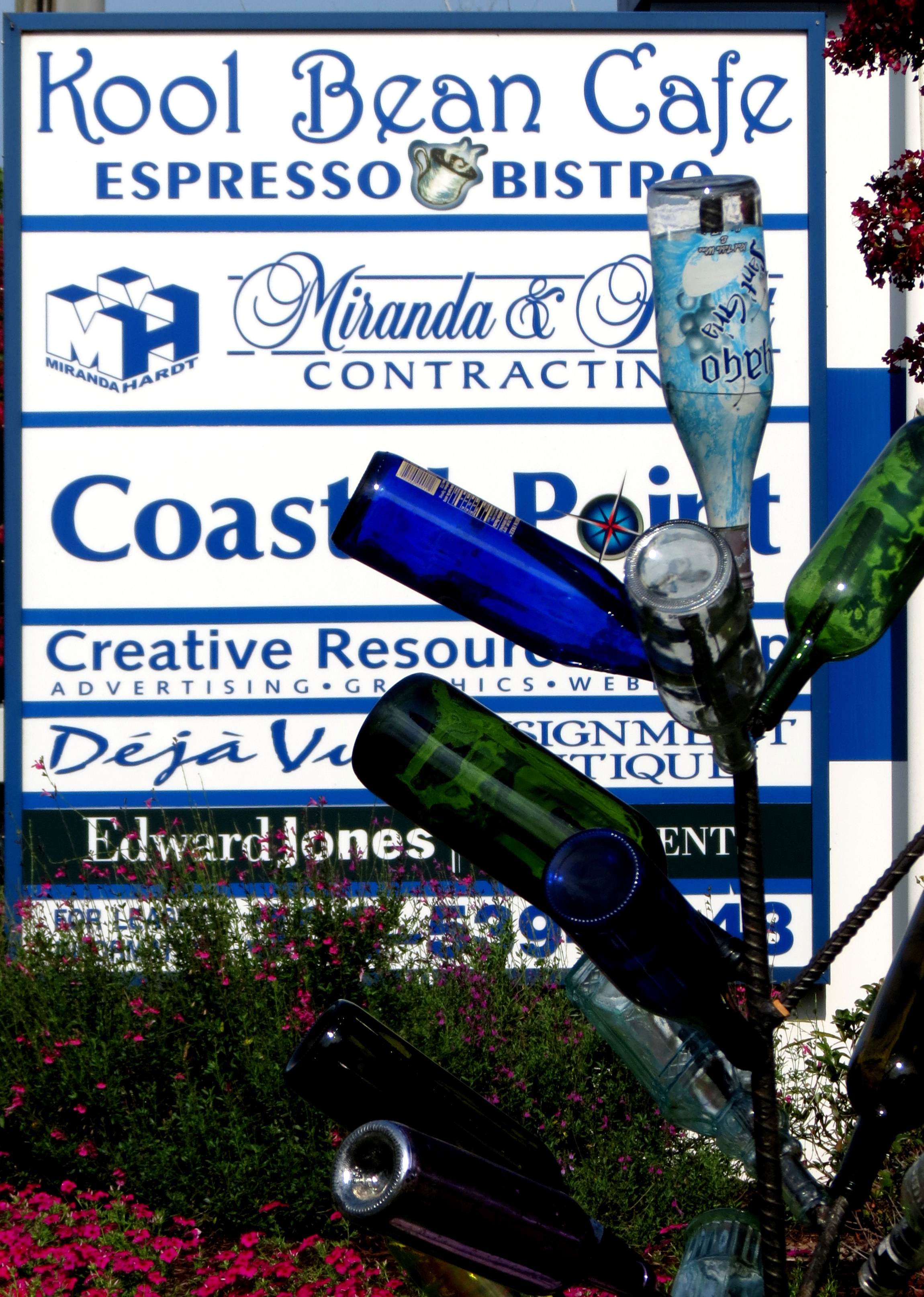
The plan for the day included visiting with friends from Virginia who just happened to be vacationing in Delaware at the same time that I was visiting. Until I met up with them though, I decided to attempt to work on editing / uploading photos. Kool Beans was the perfect place for a delicious breakfast and free Wi-Fi.
As much as I love a road trip, I usually spend so much time exploring that I don’t have enough time for quietly relaxing. This morning, though, I decided to do just that and it was lovely! I even took some time to read.
Soon though, it was time to head to Rehobeth. Riding Rt 1 along the Atlantic Ocean, I was excited to get to go over … you guessed it … a bridge!! The Indian River Inlet Bridge opened to traffic in 2012, replacing several bridges before it. I pulled over to take this shot and could even have walked over on the pedestrian / bicycle lane in order to get better photos, but I needed to get on down the road.

Once I got to Rehobeth, I was just about done in by the traffic, the search for a parking space, and the time spent trying to pay for parking. Thank goodness I was able to meet up with good friends, who also put extra quarters in the parking meter for me (this photo taken by a friend, with a cell phone).
I’m more used to the Outer Banks of North Carolina, which is less developed and less crowded, but the ocean is still a thrill and I was glad to be able to play in it for a bit.

After the beach, we headed to Mike and Kellie’s home in Milton, DE. Milton is “the birthplace of five governors, a town divided in allegiance during the Civil War, home to many officers who participated in the famous War of 1812, and rich in both agricultural and political facts and figures” (http://www.historicmilton.com/about-milton.html).
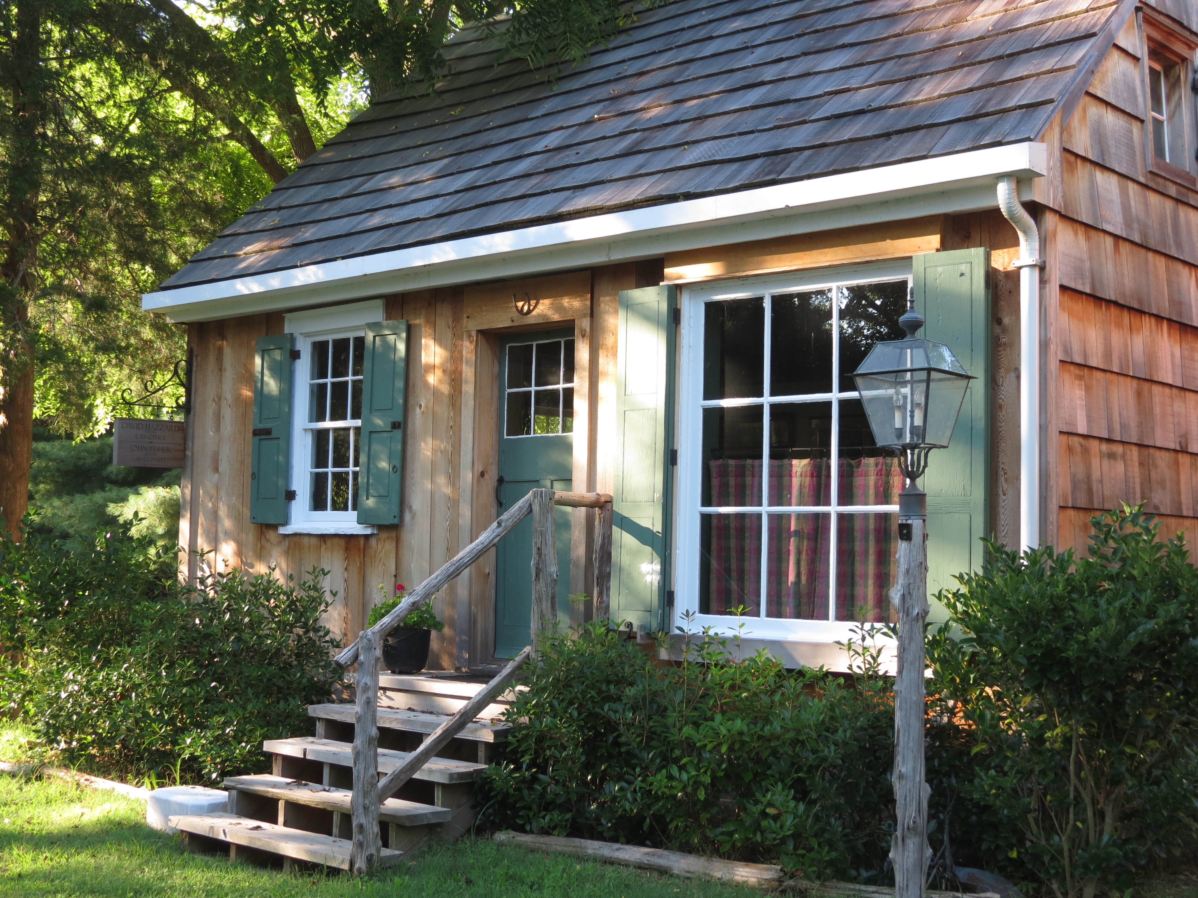
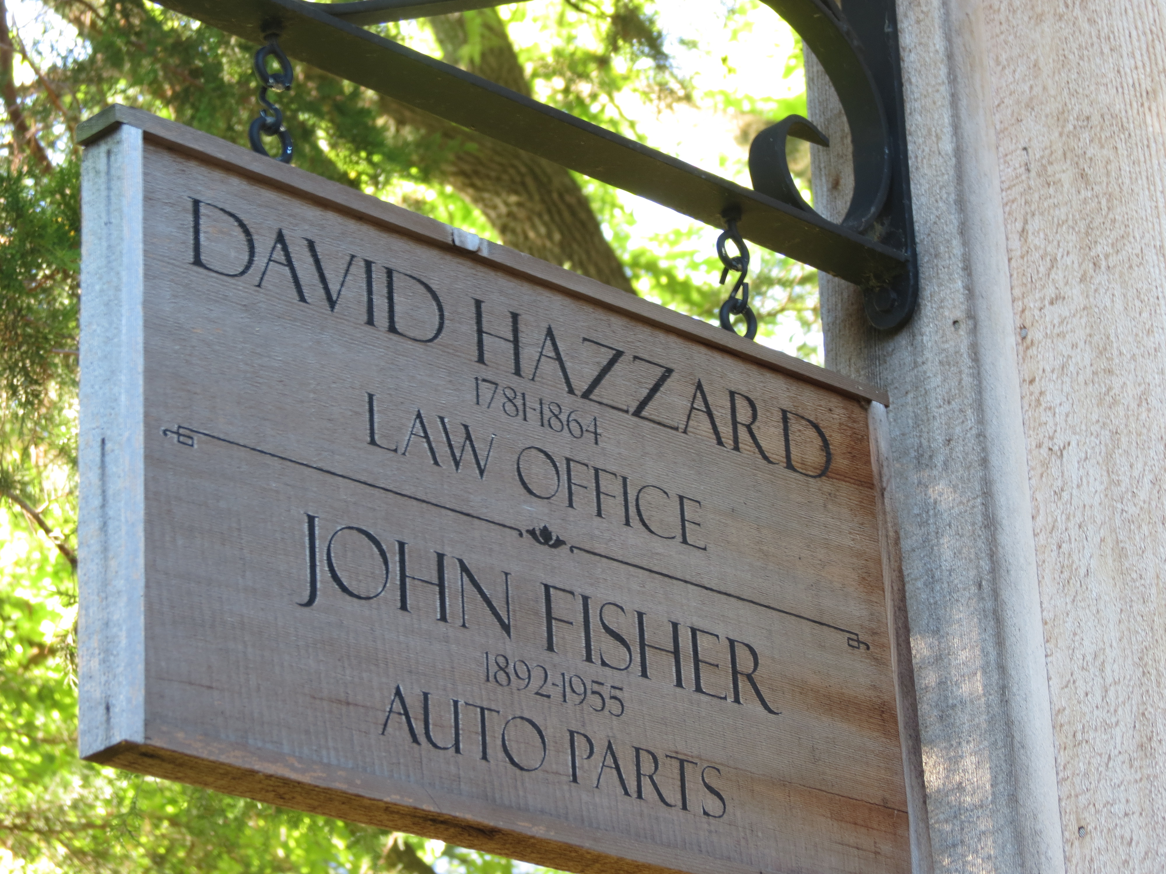
Mike, Ralph, and I (and Mike’s dog, Rosie) took a walk around this historic community.
Mike is an excellent (and funny!) tour guide. For some reason, this cabin, built in 1781, was open to passersby and Ralph and I had to check it out.

It was a beautiful evening and I just could not stop taking pictures!


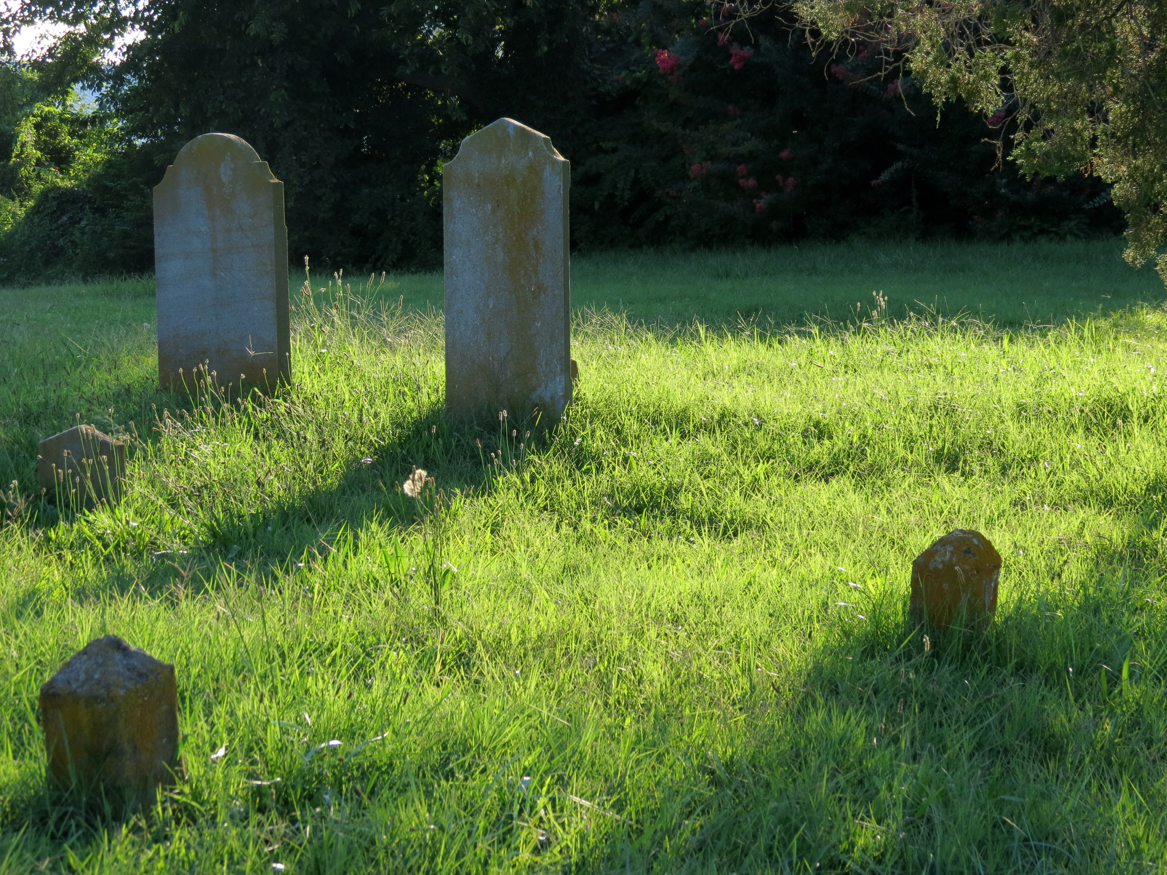
We briefly explored an old cemetery

Visited the Dogfish Head Brewery (unfortunately, we were not able to take a Brewery Tour)

And enjoyed some quiet time in the yard

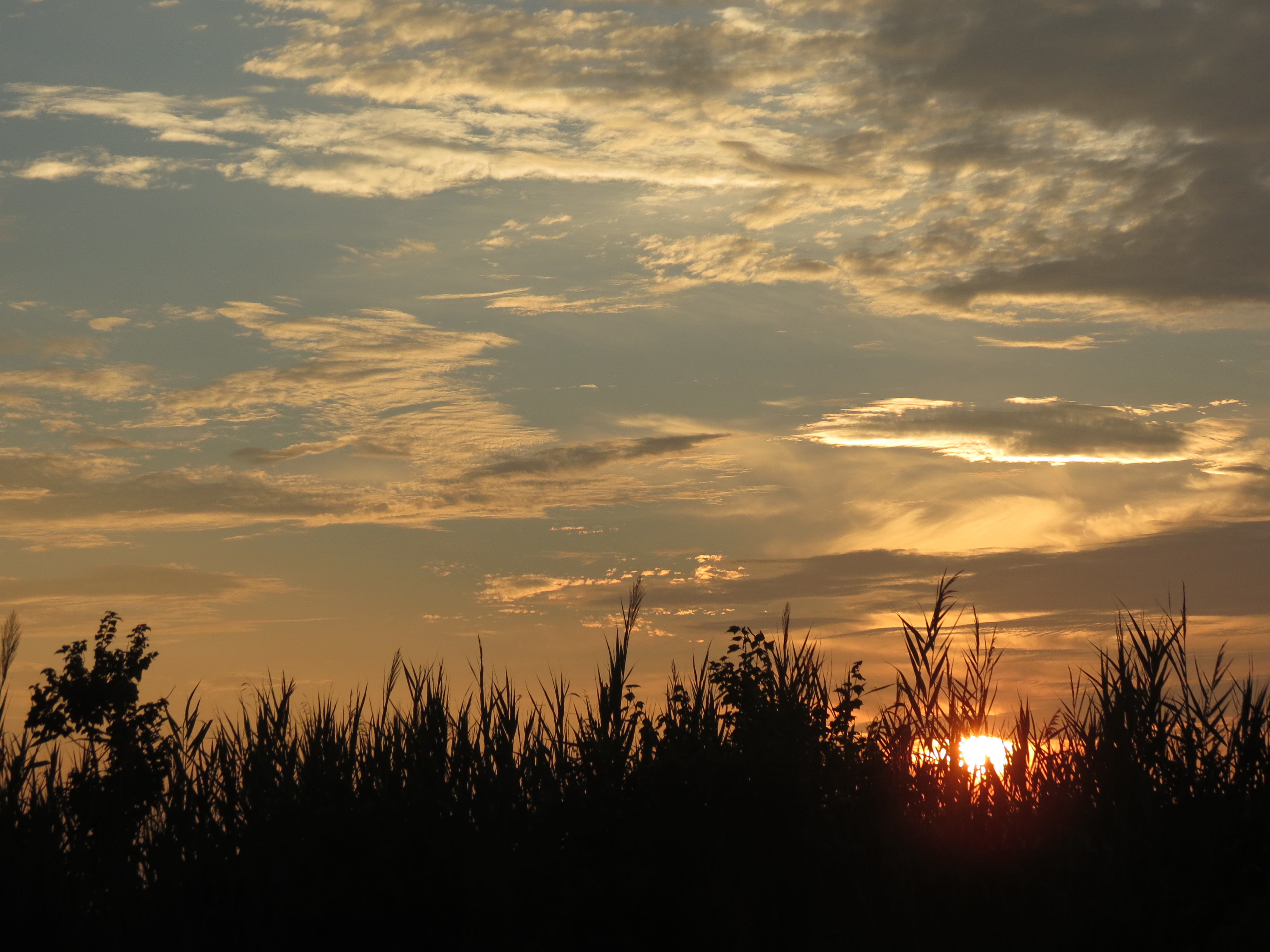
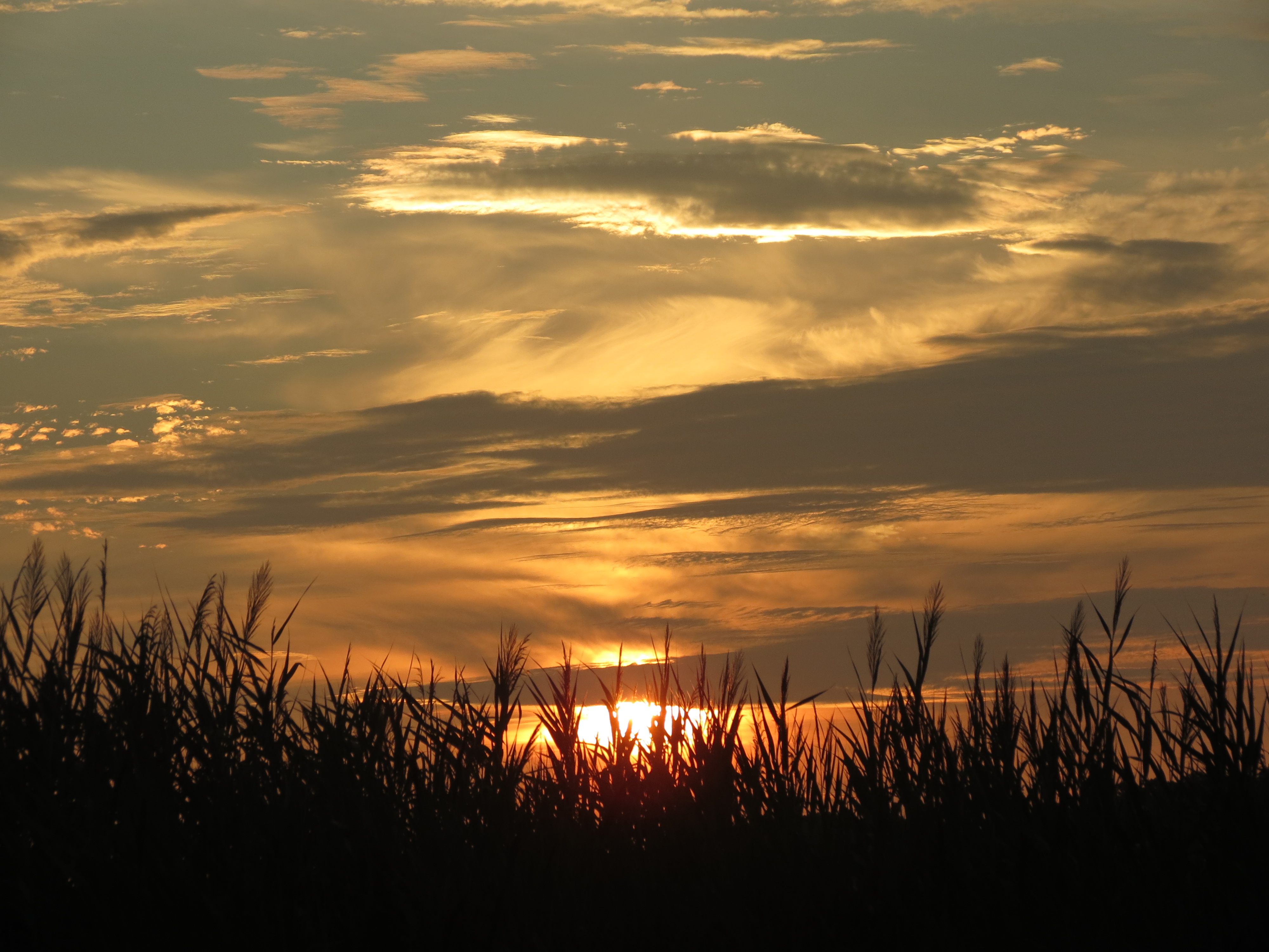
The ride back to Bethany was marked by reaching the 4000th mile on the new bike as I watched a gorgeous sunset.
Life is good!

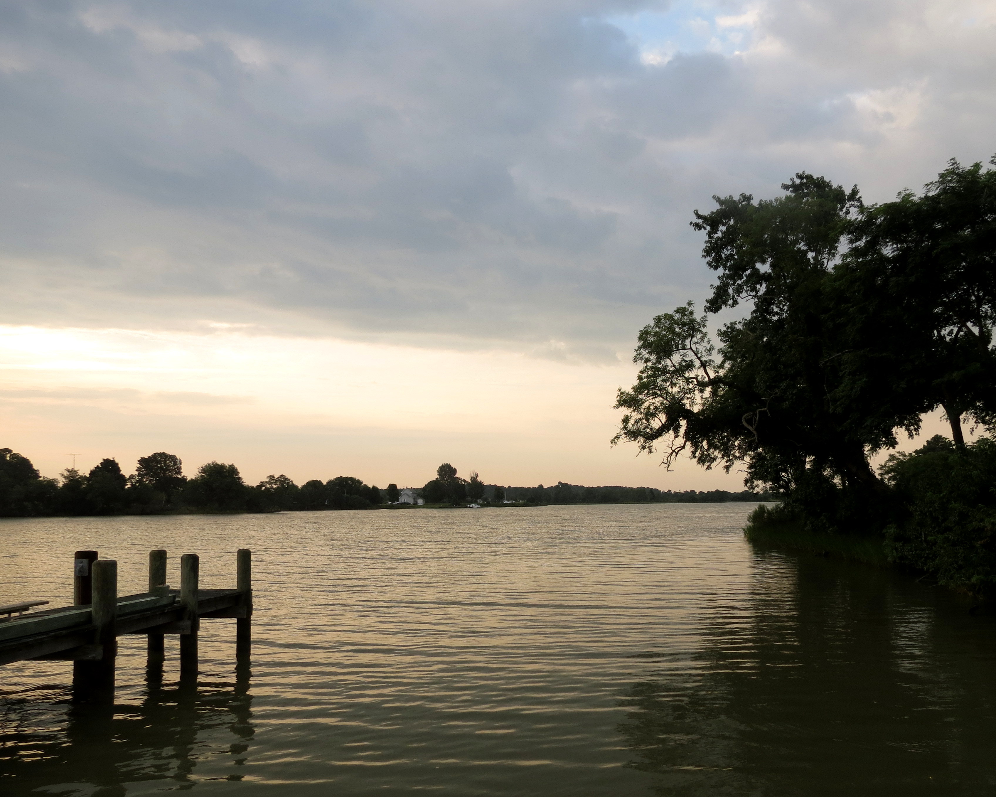
Having never been a late sleeper, I was out of the house early and taking photos of the creek that Barbara and Glenn live along side.

Knowing that I planned to leave at 11am, Glenn offered to take me for a morning jet ski ride on the river and the Chesapeake Bay. What a blast! By 9:30 am we were flying across the water. I came up off the seat several times, and I was laughing so hard, I’m sure that Glenn was wishing he had ear plugs. I’m so glad that I didn’t take my camera!! What a treat that was for me, and Glenn gave me a great tour.
It was a hot, humid, and 94 degree morning when I pulled out and headed for the Chesapeake Bay Bridge. Thankfully the road (Rts 381 and 382) were shaded, and like a roller coaster, and made for fun riding. Despite the shade, I was still a bit over heated and dehydrated, and decided to stop for lunch at Rips Country Inn near Bowie, Maryland. Endless water, unsweet iced tea, and a bacon cheeseburger had me refuled and rehydrated for the ride over the Bay Bridge.
It took about 15 minutes to get through the toll line and before I knew it, I was on the 4.2 mile long bridge. The bridge, built in 1952, wth the second span added in 1972, rises 186 feet above the water and I can not tell you how badly I wished I could have stopped to look the all around and below.

The whole way over I was grinning from ear to ear and the folks in nearby cars would roll down their windows to laugh with me (or at me). If I’d had the time, I would have turned around at the end and gone right back over. As it was, I pulled over as soon as I was able and took some pictures. I definitely need a better zoom!

Once over the bridge, I continued east, heading for Bethany Beach, Delaware.
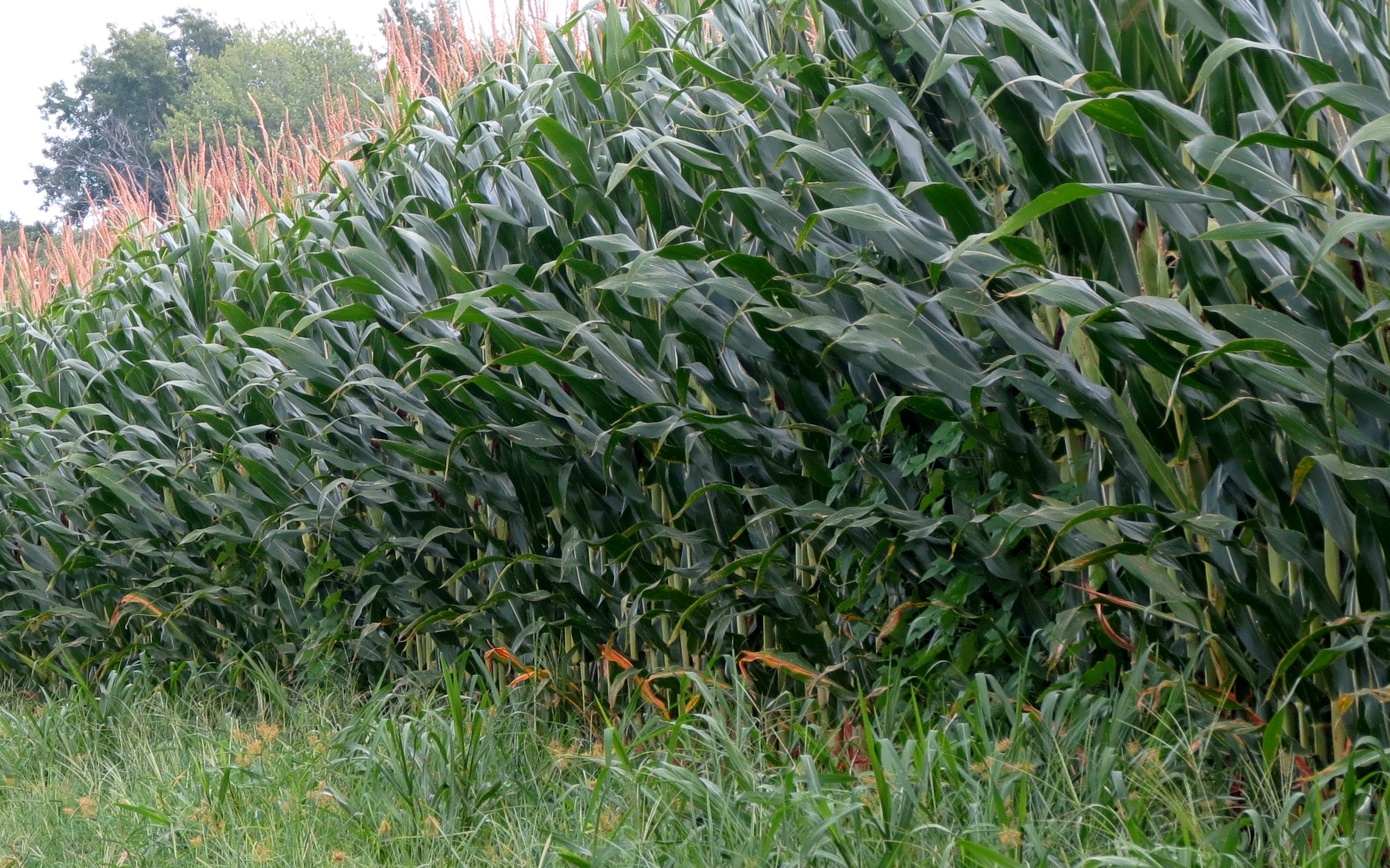
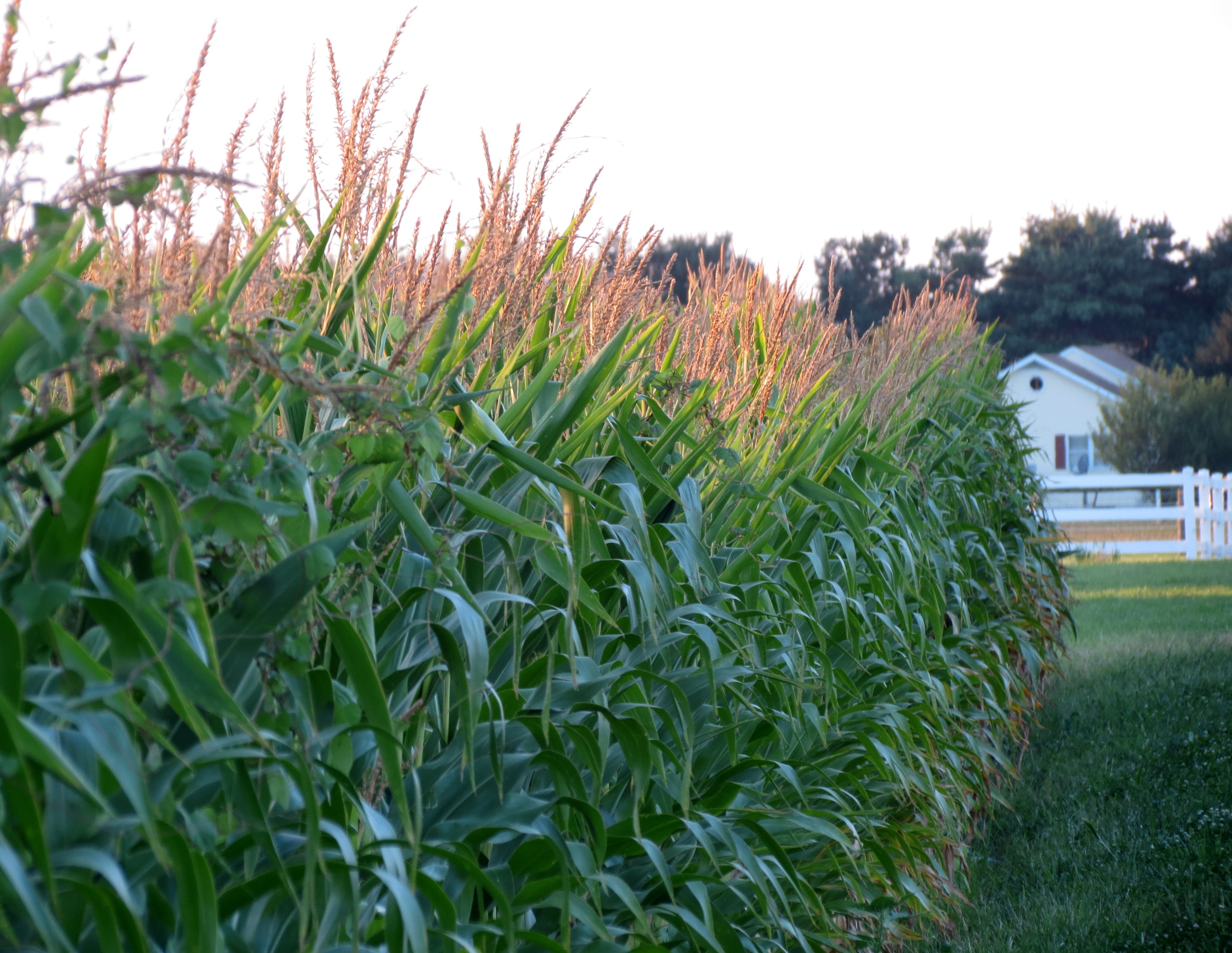
I rode by cornfields …

and more cornfields …
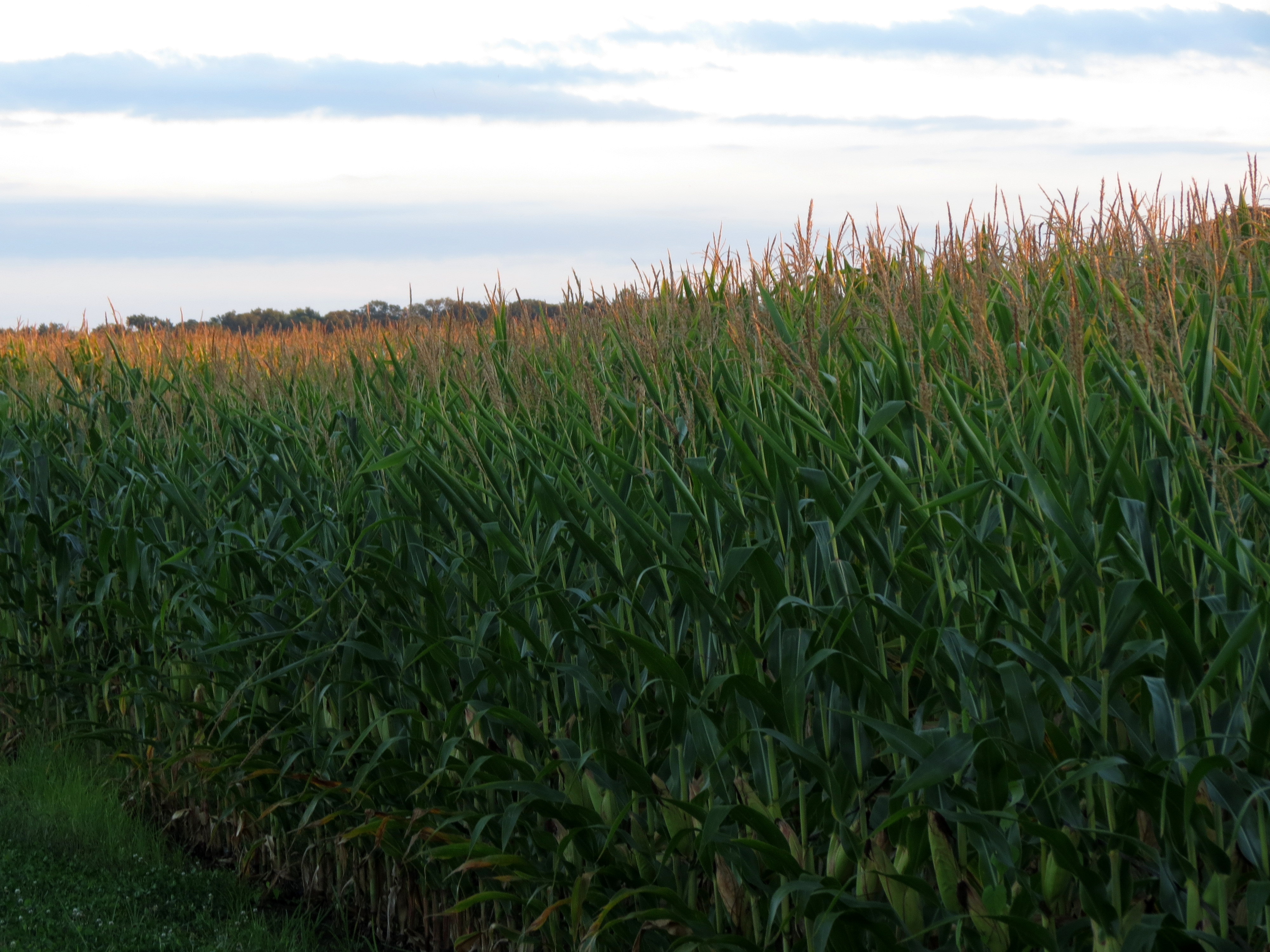
and even more cornfields.
I finally arrived in Bethany Beach, thirsty and ready for the end of the day beer. And that’s when I knew I was in the right place:

I am so grateful that Jan and Neal offered me the use of their home away from home in Bethany. As soon as I opened up the house, and turned on the water, and a/c, I was out and on the hunt for food and drink … despite the multiple alerts about an upcoming storm. What the heck, I thought? I’m not going far.
As soon as I settled in at the bar at Magnolia’s, the skies opened!! Lightning, thunder, and pouring rain gave me the opportunity to get to know the folks next to me. They were 20 year visitors to Bethany Beach and in addition to buying me a beer, offered information about fun things to do while there. Once outside, I had to push the bike out of the slight downhill spot I parked it in, rode back to the house in the rain, and settled in for the night.
I realize that this particular post may not make for exciting reading. One of the reasons I started blogging was to have a journal of my rides to share with family and friends. Thanks for joining me on this ride!
After hiking to Calvert Cliffs (and patching up my feet), I got back on the bike and headed down Rt 235 to the tip of Southern Maryland. The rural route offered minimal traffic and the beautiful scenery of this largely agricultural peninsula.
My destination for the afternoon was Point Lookout State Park. The park was the location of a prisoner of war camp after the battle of Gettyburg, and both Confederate soldiers and Maryland civilians were imprisoned at Point Lookout. More than 52,000 prisoners were kept there, with only tents for protection and over 3300 prisoners died.
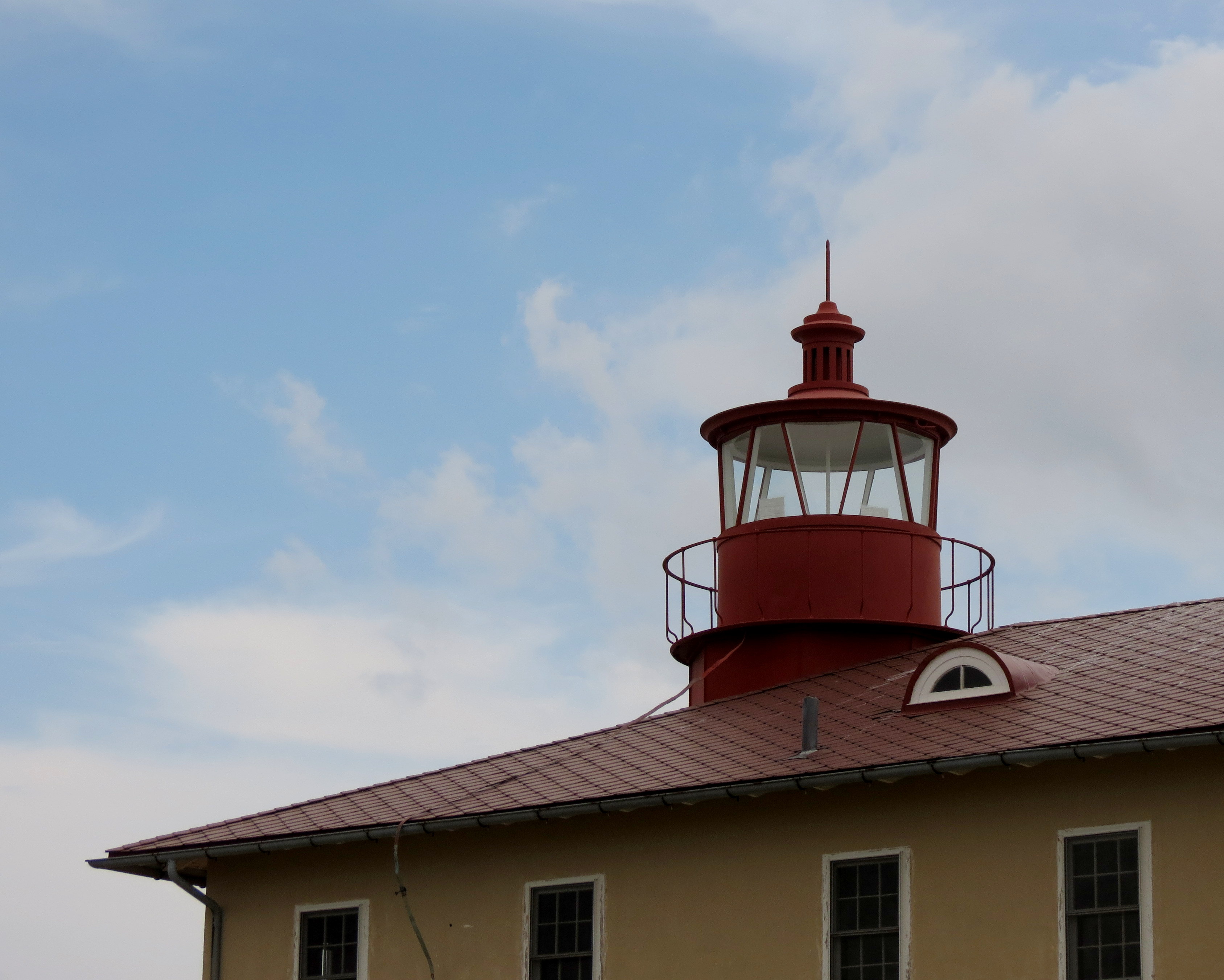
Despite it’s tragic past, the State Park is a beautiful place to visit. The lighthouse began operating in 1830, was deactivated in 1966, and is only open to the public once a month and during designated times. Point Lookout has the reputation of being the most haunted lighthouse in America, and that reputation has led to incidences of vandalism, the most recent this past spring.

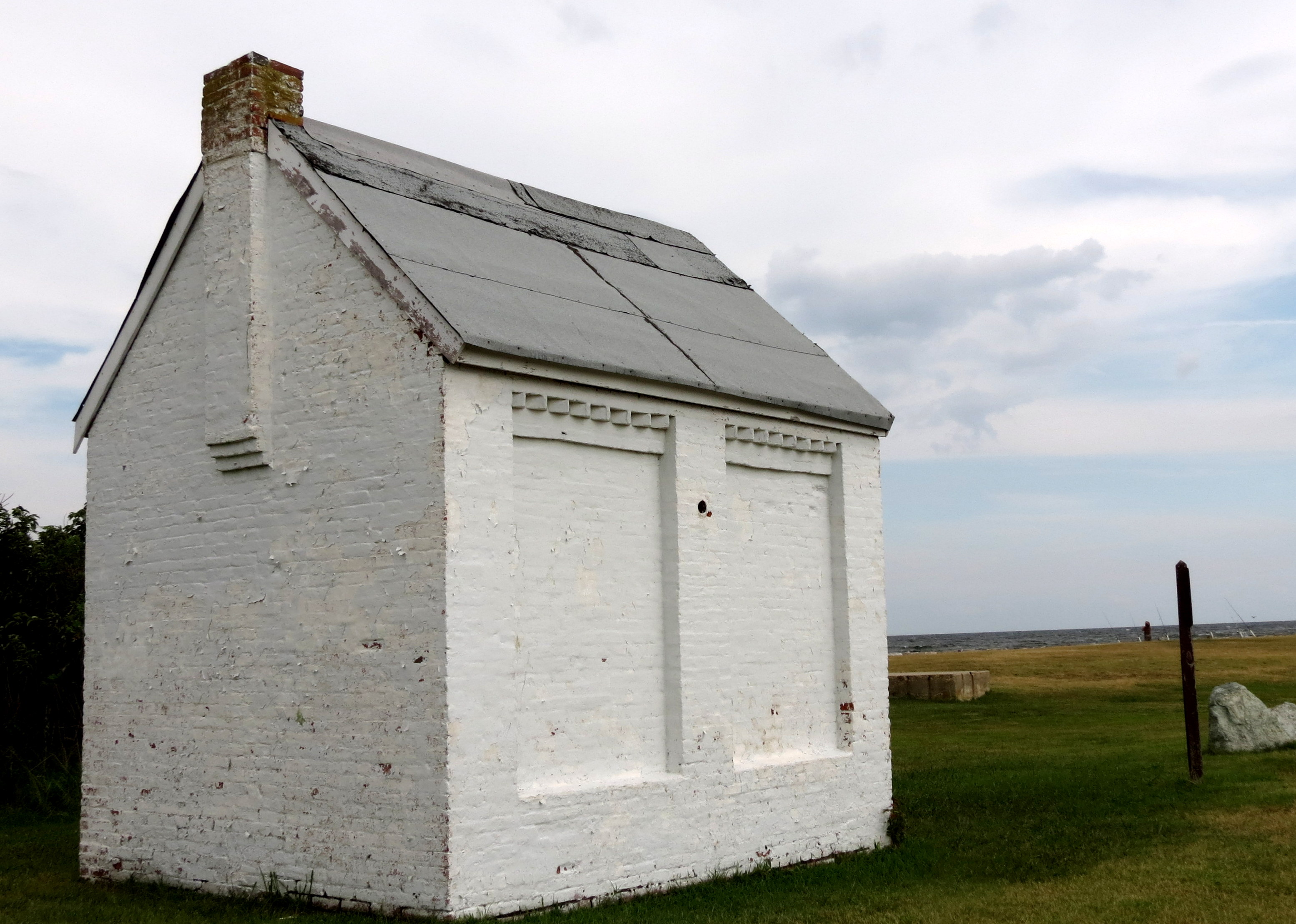
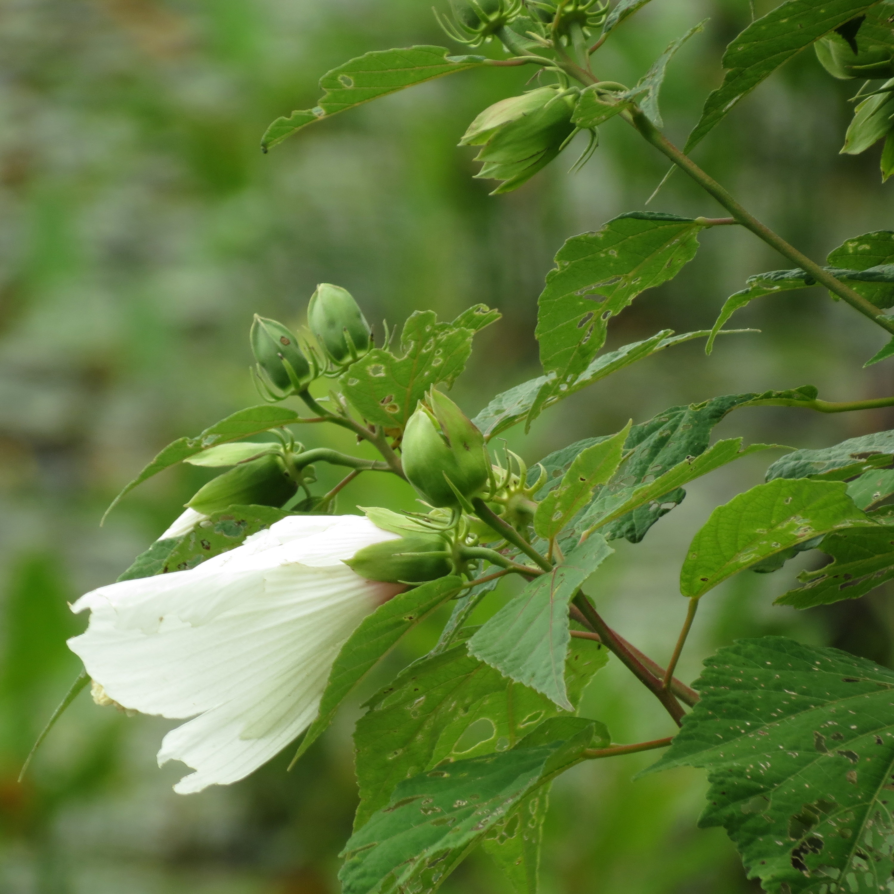
I was drawn to this little white structure but have no idea what it’s historical significance is as there was no signage.
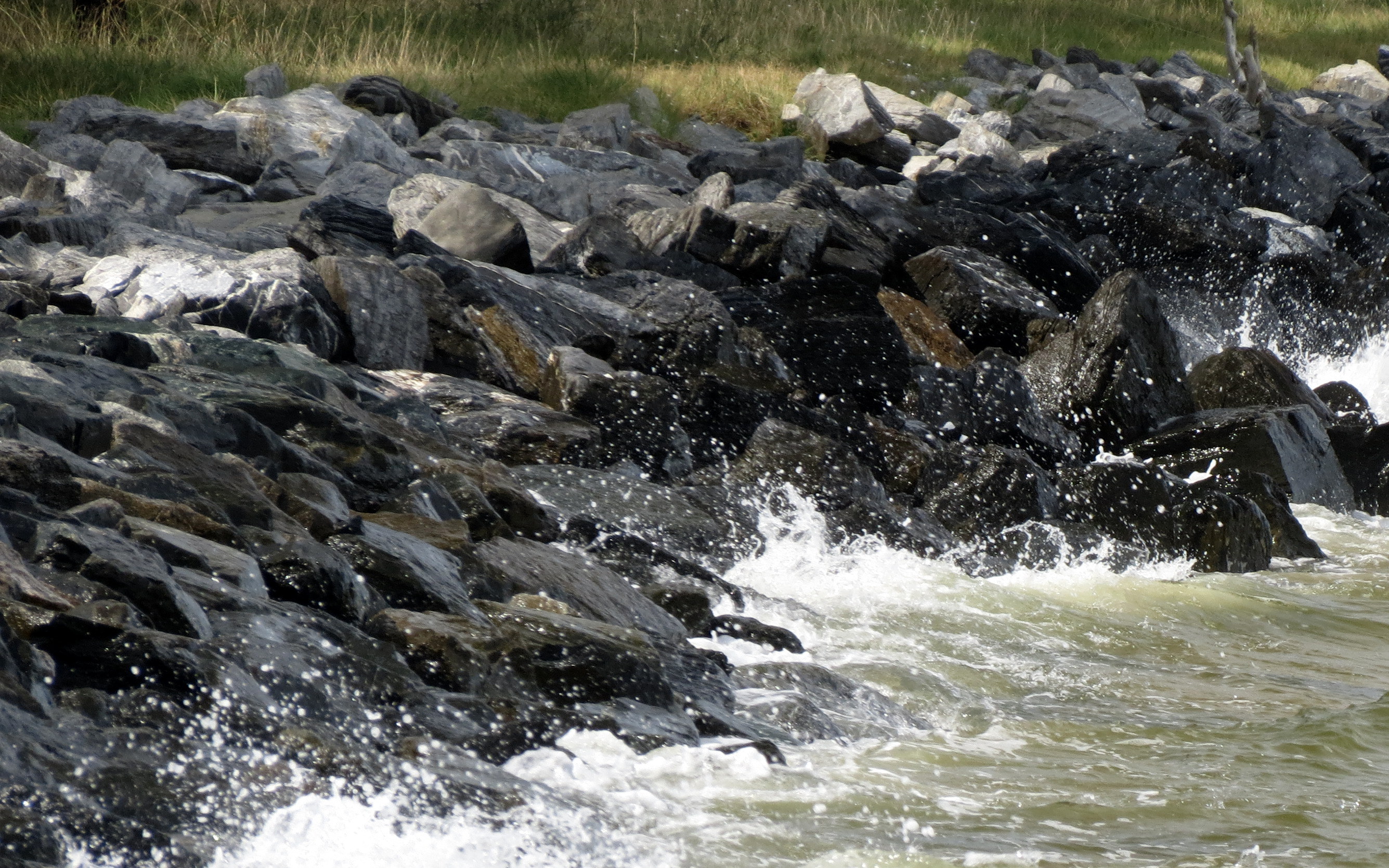
It was a warm, windy day and the midday sun was almost too bright for photography.


The wind and the tide had the waves crashing into the rocks, and the energy of the wind and the water made me laugh with happiness.


All that remains of a seaside resort, this wheel was part of the power plant that provided power to the resort.

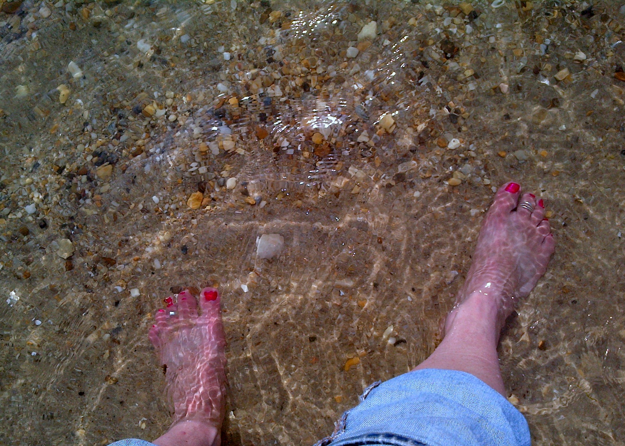
Finally, it was time to move on down the road to the city of St. Mary’s, where I would be meeting friends for dinner and staying the night. It was almost 5pm and I’d been riding. hiking, and exploring since leaving Annapolis that morning. Before leaving though, I just had to get my feet in the water, and oh, it felt great!
Established in 1634, Historic St. Mary’s City is the site of Maryland’s first capital. It was a thriving community until the capital was moved to Annapolis. The city is one of America’s best preserved Archeological sites and is a National Historic Landmark.
The Brick Chapel of 1667, is being rebuilt, 305 years then after Maryland Governor Seymour ordered the sheriff to lock the Roman Catholic chapel and see that it was never again used for worship

These wooden structures, called ghost frames, designate where archaeologists have discovered 17th-century buildings

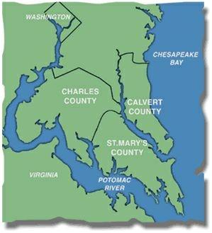
By now I had developed quite a thirst and while filling up the tank, I asked a local where I might be able to get a beer looking as sweaty and hot as I did (and I don’t mean hot in a good way!).
The Green Door provided a wonderfully cold beer and when I tried to pay my tab, the bartender insisted that she buy it for me. How cool was that!

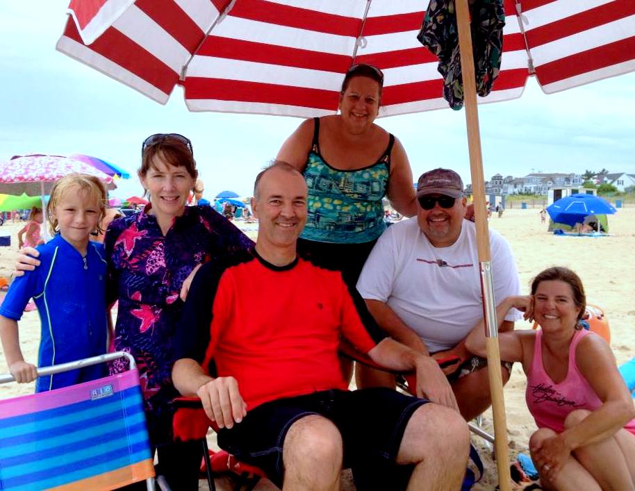
I rode on to meet up with Barbara and Glenn at their home, after which we went to the home of Barbara’s parents. I’ve known these friends since the 70s when we were all living the military life in Northern Virginia. We had a marvelous evening of good food, friendship, and conversation, and I so enjoyed learning more about their family members who were originally from St. Mary’s County. Somehow I did not have my camera (what???), so I am posting a photo from the reunion we all had in April of this year at Jefferson Vineyards outside Charlottesville, Va.

What a day!! It was few on miles, only 110, but long on fun and adventure, and I was ready for bed!
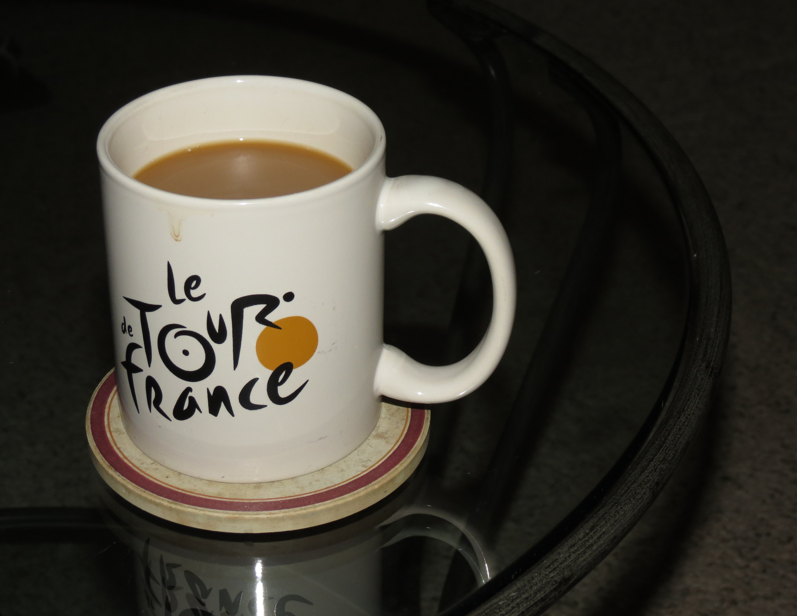
The courtyard of the B&B was the perfect place for morning coffee and for mapping out the day’s route. Yep, I am old fashioned enough to still use a paper map. I like to see the “big picture”, rather than focus on one small position on a screen. Today’s destination: Southern Maryland.

First, a little background: The region of Southern Maryland is a peninsula bordered by the Potomac River to the west and the Chesapeake Bay to the east, and is made up of the counties of Charles, Calvert, and St. Mary’s.
Southern Maryland has a strong Catholic presence, as it was the site of the first Roman Catholic colonization in the America’s. I passed many historic and architecturally beautiful Catholic churches along my route.
The peninsula also played an important role in the Civil War. Maryland was deeply divided. The areas of Southern and Eastern Maryland, especially those on the Chesapeake Bay, which had prospered on the tobacco trade and slave labor, were more sympathetic to the South, while the northern and western areas of the state had closer economic ties to the North. Historical markers and designations relating to the Civil War, in particular the Confederacy, are common.
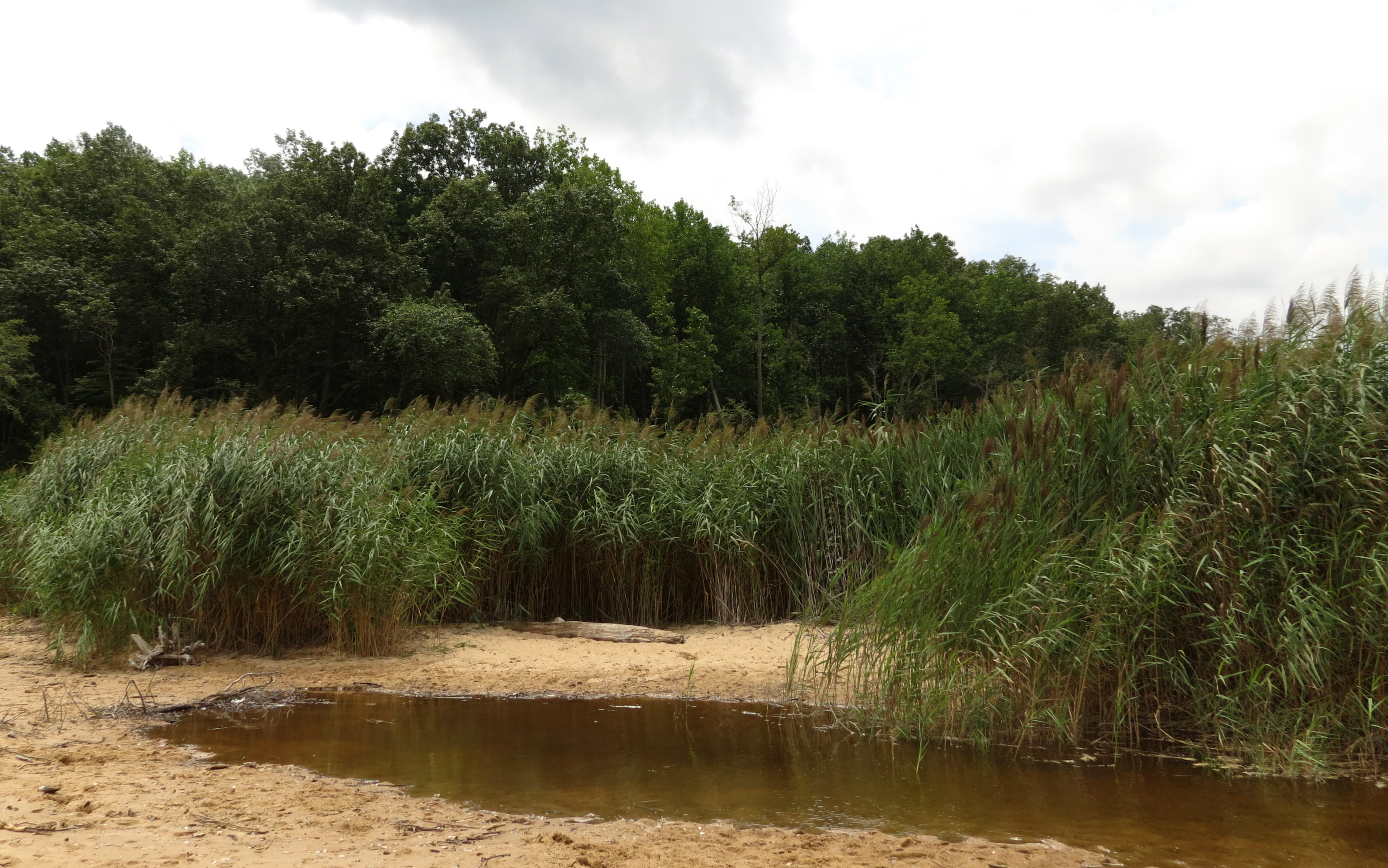
The journey began with a ride down Route 2, and a plan to stop at Calvert Cliffs State Park. The cliffs dominate the shoreline of the Chesapeak Bay in Calvert County and a 1.8 mile hike is required to get to the cliffs. I walked the trail through wooded areas and on a boardwalk through a swampy, wetland area. Butterflies and birds were my companions, as were families headed to the beach to picnic and hunt for fossils. “Over 600 species of fossils from the Miocene era (10 to 20 million years ago) have been identified in the Calvert Cliffs, many of which can be found at Calvert Cliffs State Park. Chesapectens, Ecphora, Miocene era oyster shells, and sharks teeth are common finds” (http://www.dnr.state.md.us/publiclands/southern/calvertcliffs.asp).


I loved this chair made from a tree that had fallen across the trail.


The reward at the end of the hike: The Calvert Cliffs!

The cliffs were formed over 10 to 20 million years ago when all of Southern Maryland was covered by a warm, shallow sea. When the sea receded the cliffs were exposed and began eroding. Today these cliffs reveal the remains of prehistoric species including sharks, whales, rays, and seabirds that were the size of small airplanes (http://www.dnr.state.md.us/publiclands/southern/calvertcliffs.asp)

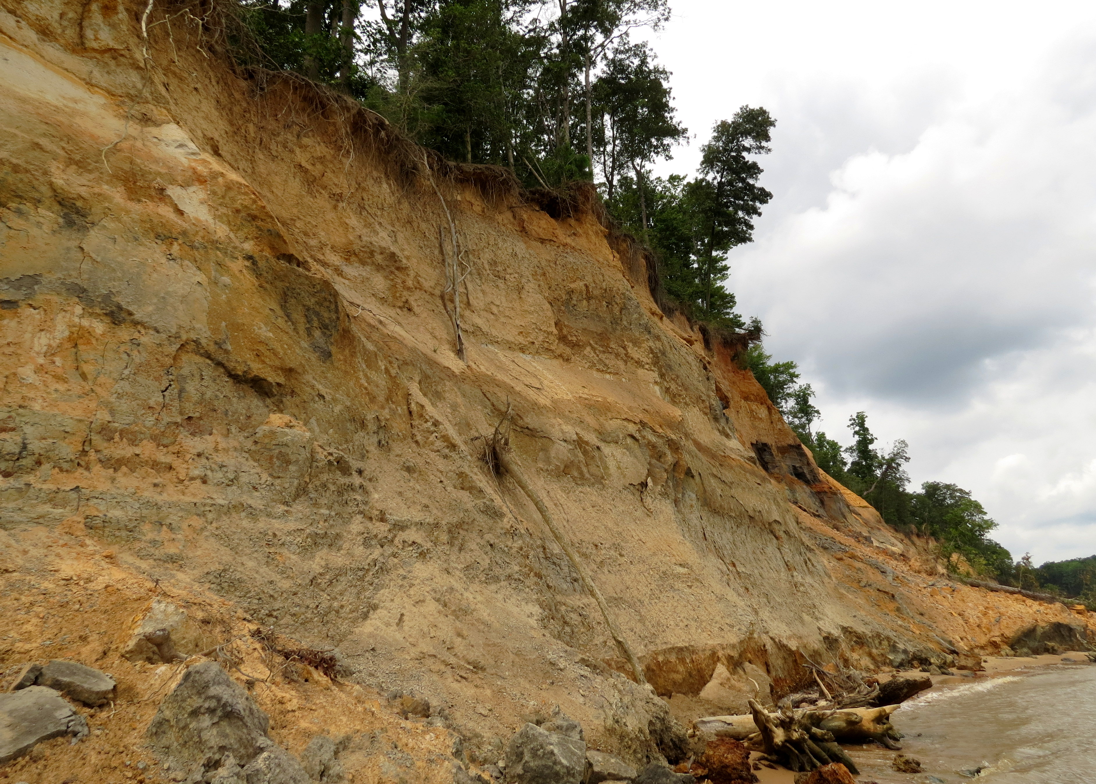
This next photo was taken with my cell phone and shows the recent cliff slide that had caused that portion of the beach to be roped off (of course, I just had to duck inside it to get a closer peek).

As you can tell by the clouds, the rain was threatening. Blisters on my feet were also threatening as I didn’t anticipate this 3.6 mile hike in my beloved boots. Actually, the boots were not the problem … the thin socks were! I made it to the bike without seeing rain, but the outsides of both feet felt rubbed raw. As would any good Nurse Practitioner, I carry a first aid kit on the bike, and I was patched up and on my way in no time.
The second part of today’s journey will come in the next post: Point Lookout and Historic St. Mary’s City.
The day began with a brief ride on the GW Parkway, at the end of which lies Mt Vernon. I wish I’d had time to stop and visit George’s home, but even though I try to remain spontaneous on the annual bike trip, I knew I had to get on down the road.
Just a few words about the George Washington Memorial Parkway: The almost 40 mile long road, maintained by the National Park Service, is a scenic, commemorative route that features historical monuments of national significance. The GW Parkway provides protection and habitat for many species that are endangered.
The Parkway curves along the Potomac River and I just had to stop to shoot some photos. And THIS is when I wish I had a better camera and more skill. It was an overcast morning and the DC haze made photography challenging (at least for me).

I was only on the GW Parkway for 14 miles, but it was a lovely way to start the day.
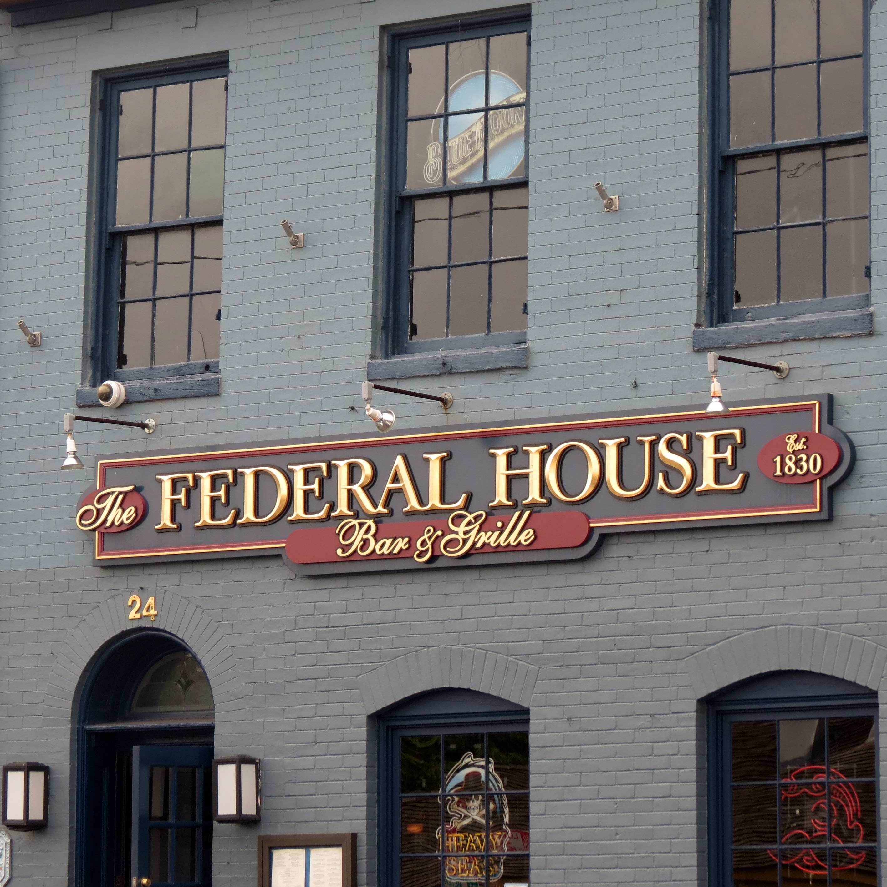
The first challenge upon arriving in Annapolis was trying to decide where to eat! I arrived in time for lunch and the downtown historic area was packed with restaurants. Finding parking nearby was the real concern since all my belongings were strapped to the back of the bike. The Federal House, established in 1835, fit the bill for food and parking, and their award winning Cream of Crab soup and a pint of the Federal House Golden Ale hit the spot perfectly!
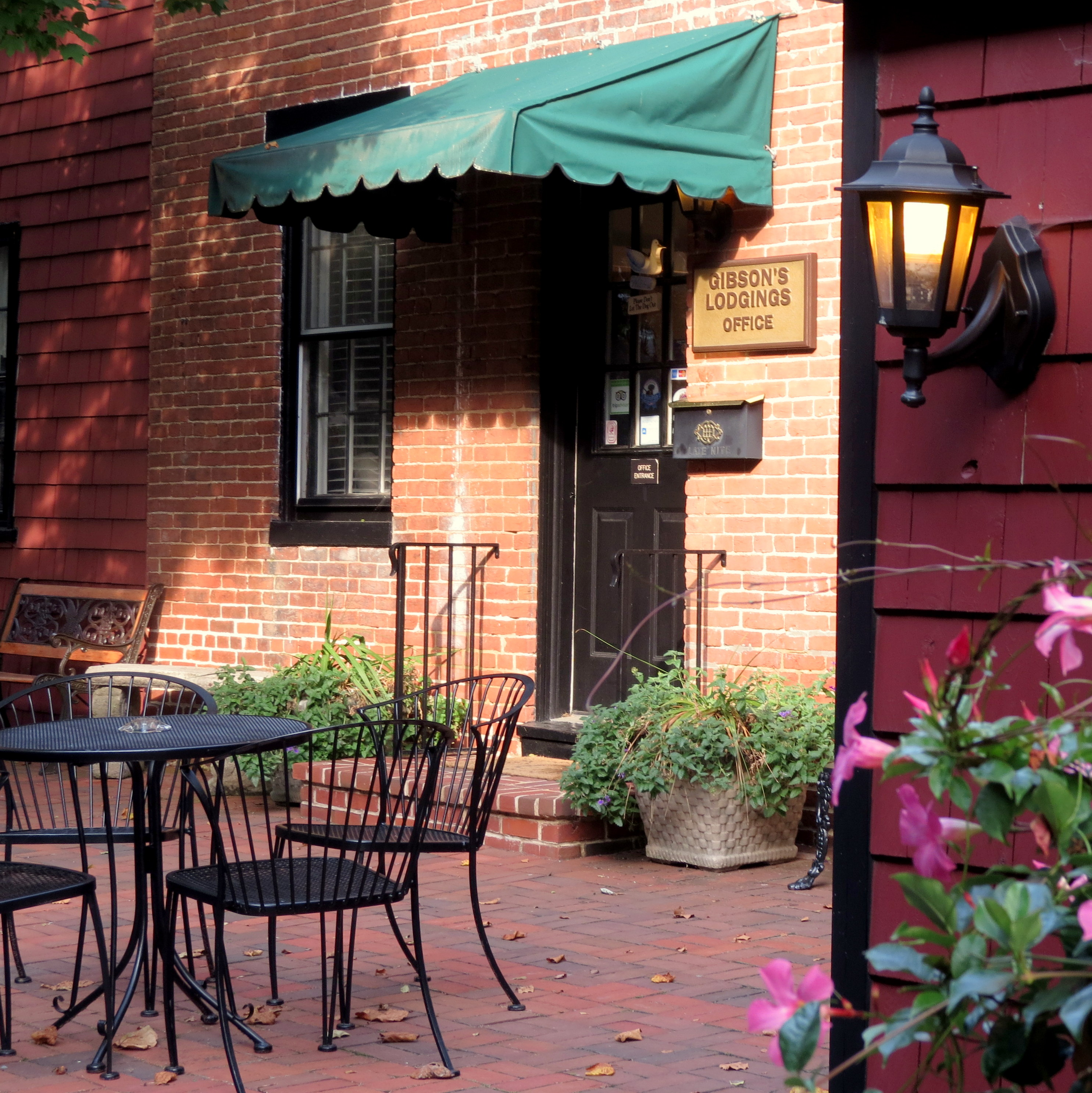
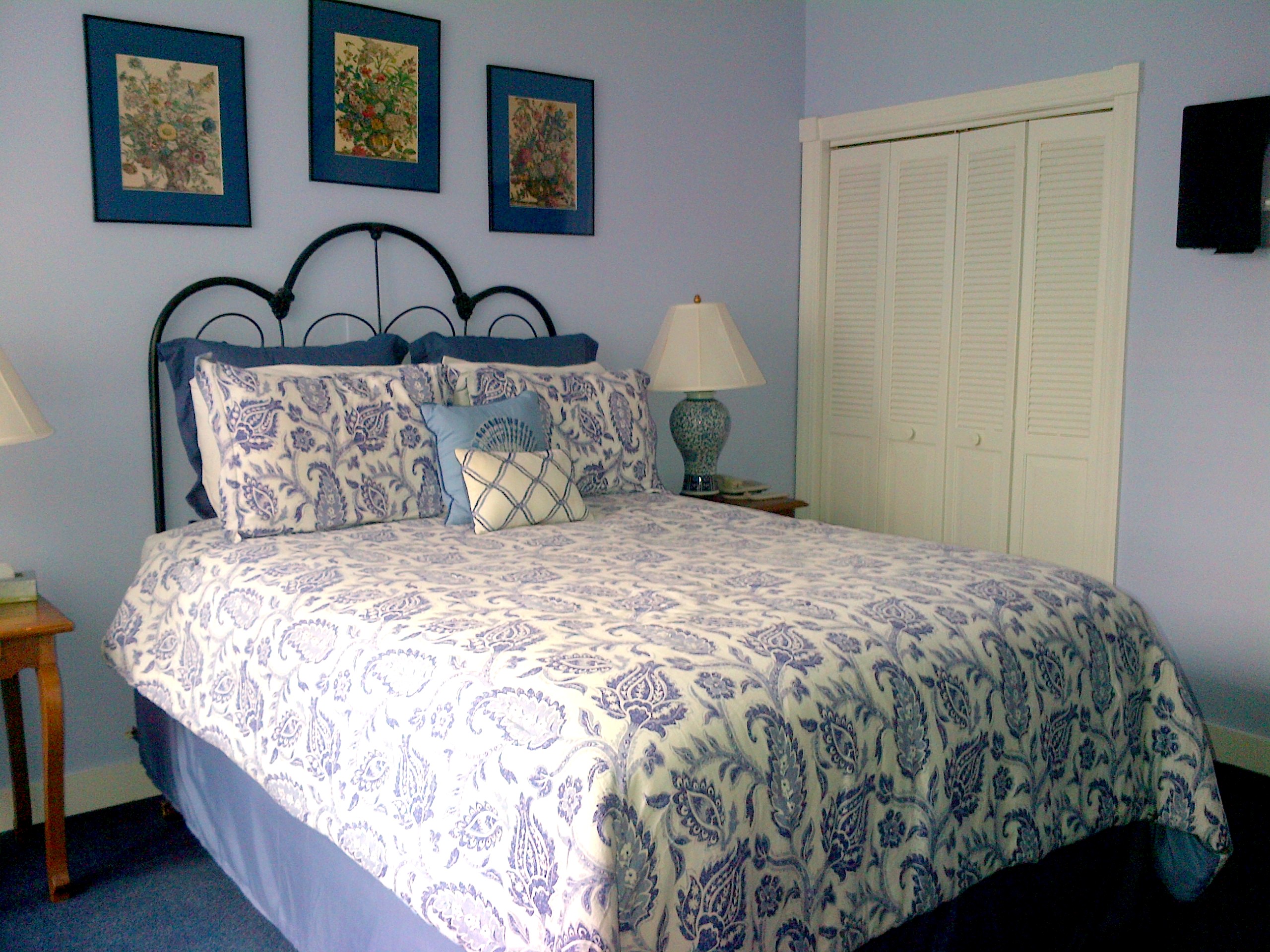
Next up was to find a place to stay so I could get the bike and my gear off the street. Since this was to be my only night of the trip to have to pay for a room, I let myself splurge a bit. Len, at the Visitors Center, directed me to Gibson’s Lodgings of Annapolis, a beautiful B&B with off street parking, located right in the heart of the historic area.
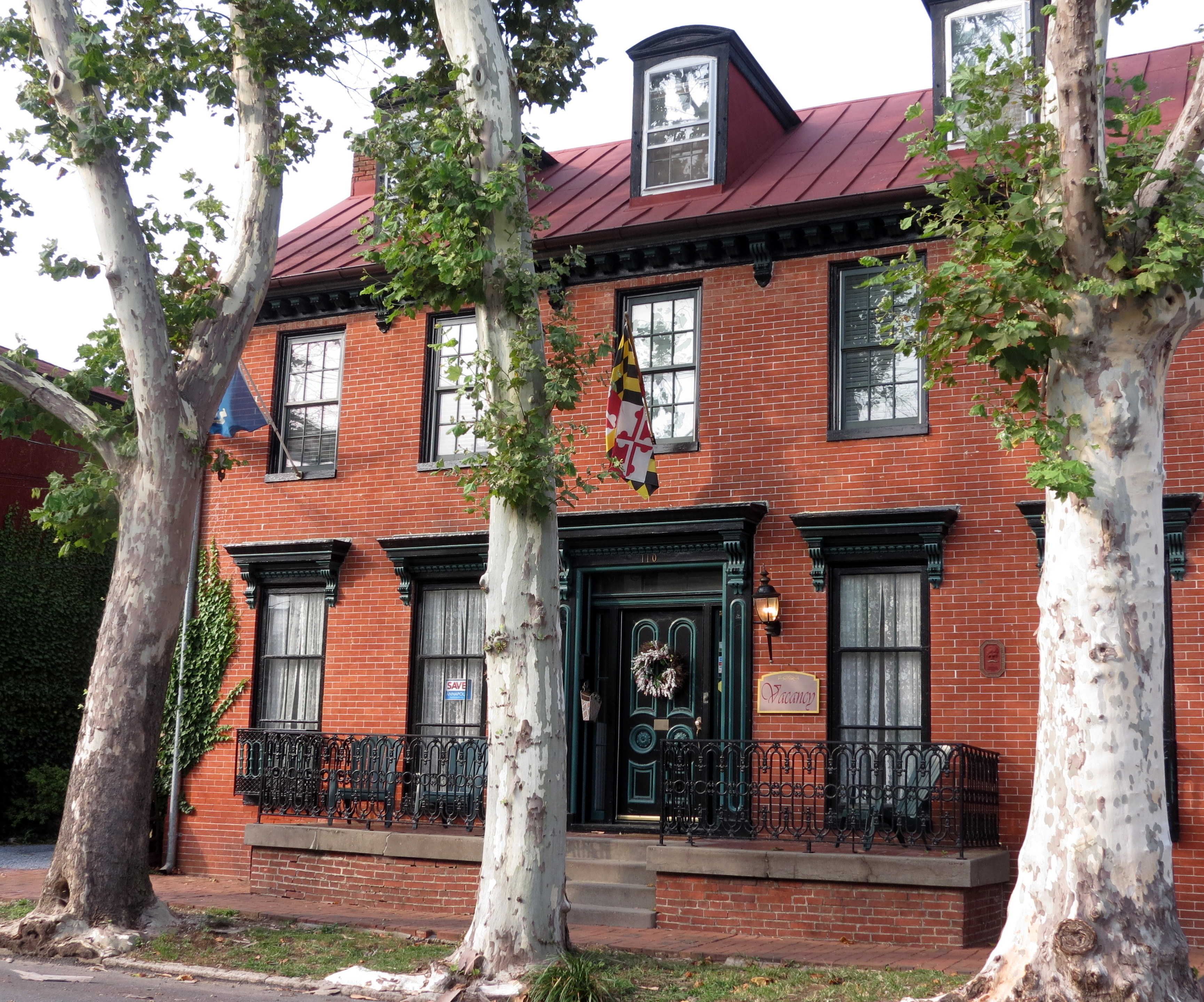
The innkeepers could not have been more welcoming! Within moments of stepping in the door, I had a cold bottle of water in my hand and was tasting a fresh, homemade sweet treat. Each encounter with these folks made me feel cared for.

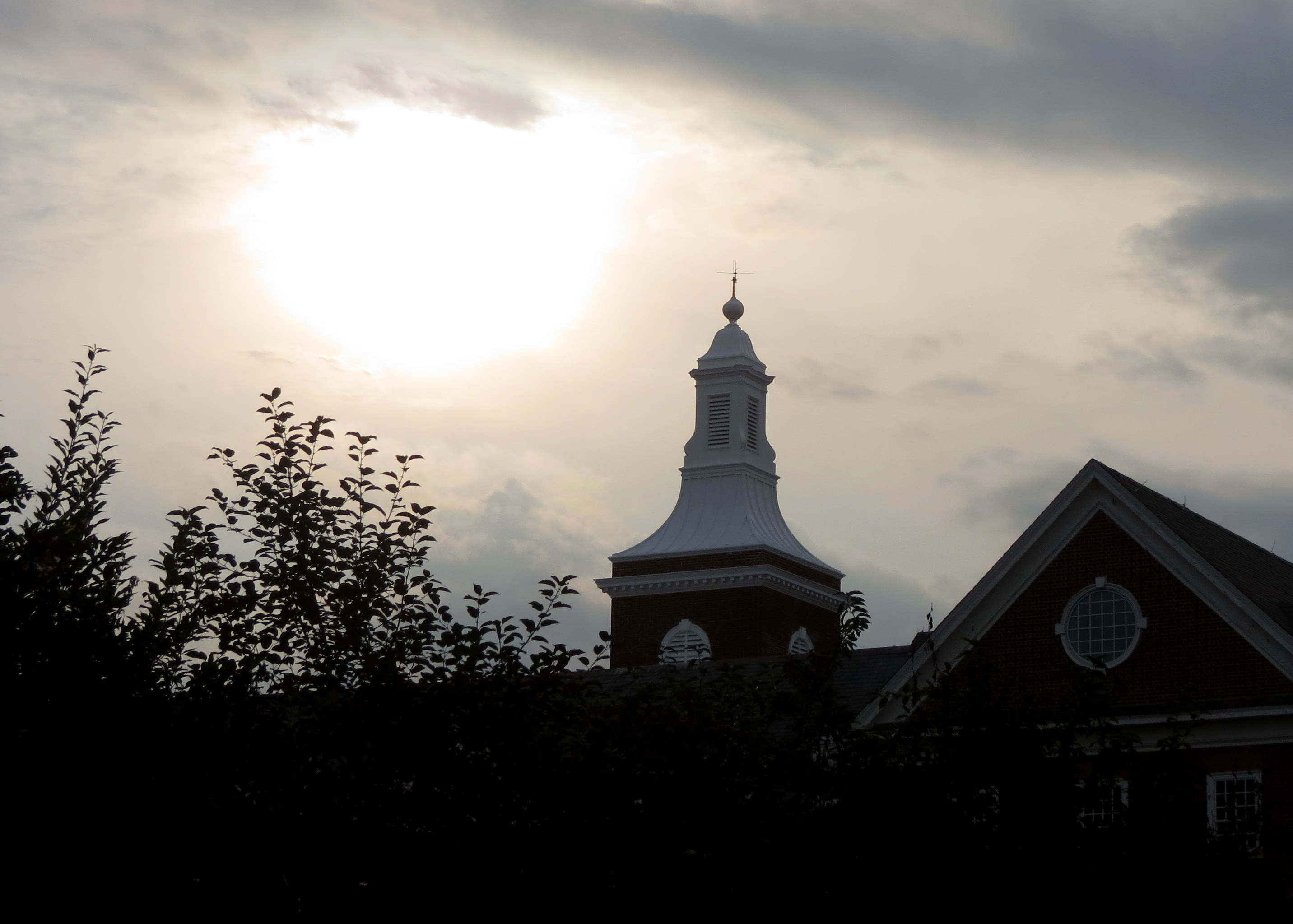
Summaring Annapolis, the capital of Maryland, in one blog post is challenging. It’s 350 year history, architecture, dining, and waterfront made for some fun times with the camera. I walked for hours, exploring much of the 8 square miles of the city, and still left much to be discovered on my next visit.
The United States Naval Academy


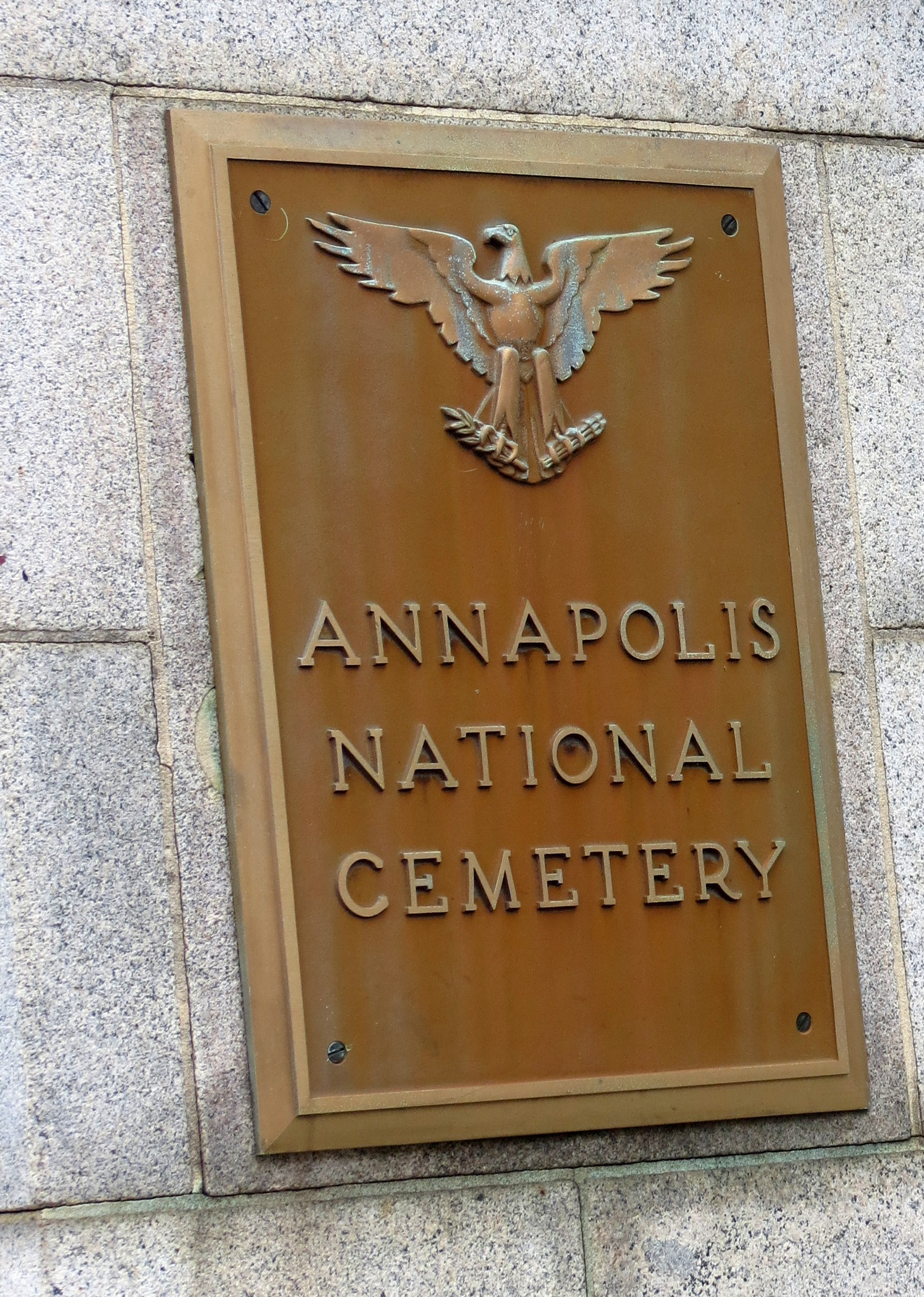
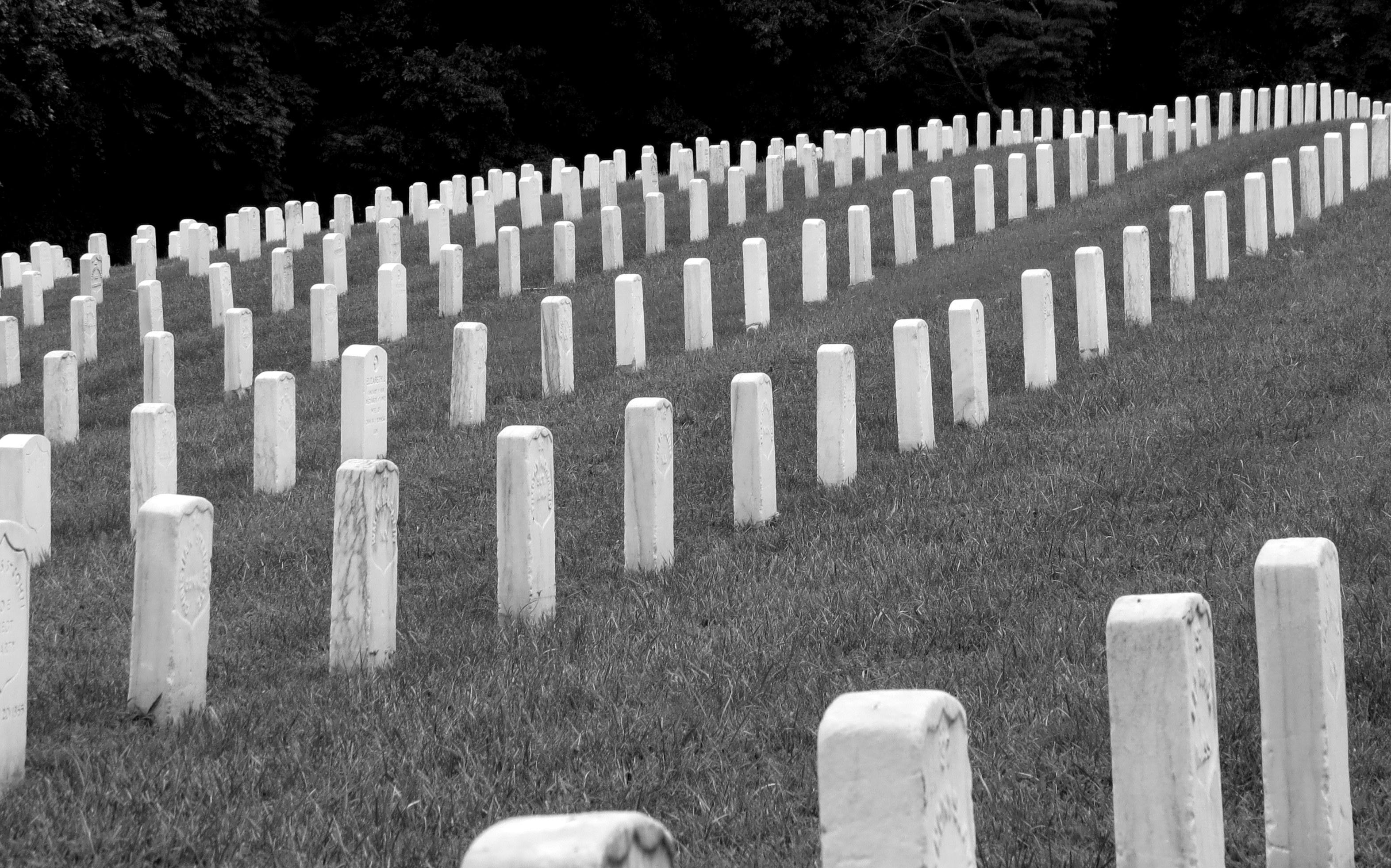
The Annapolis National Cemetery, one of 147 cemeteries nationally, a system of cemeteries established in 1862 for soldiers who have died in the service of the country.


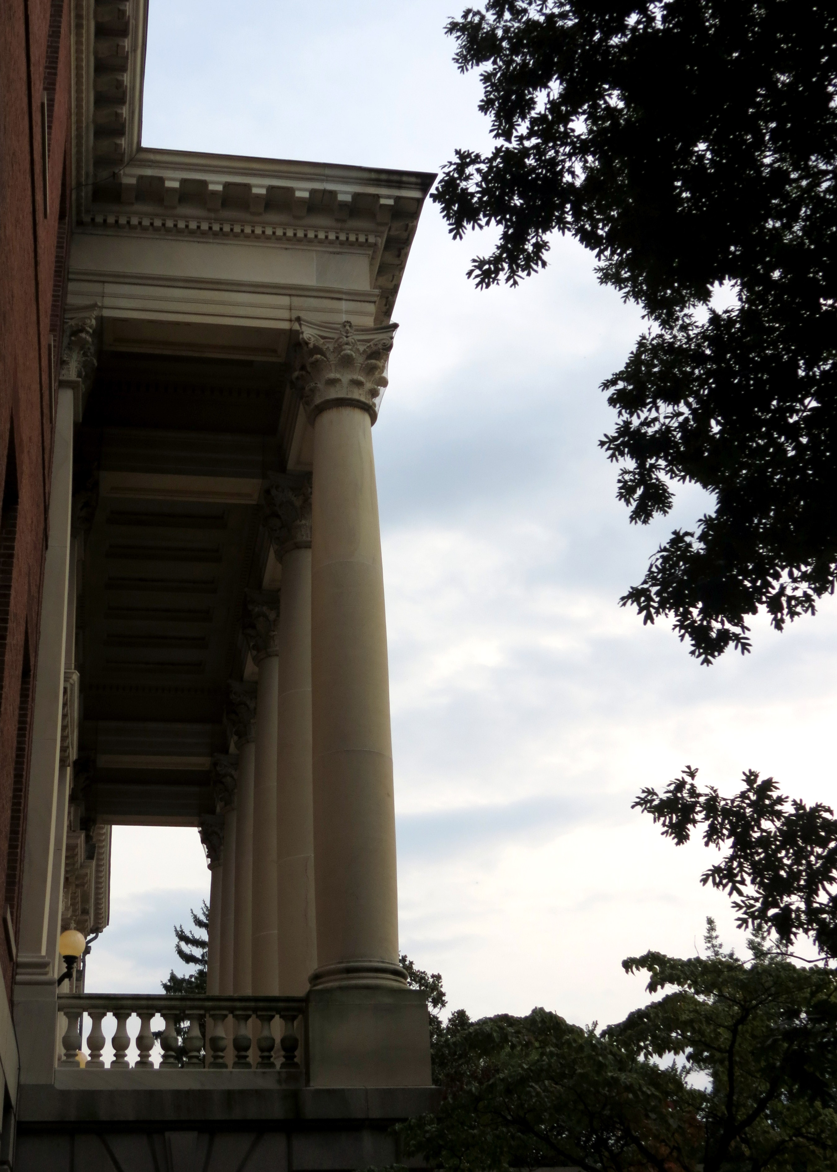
The Maryland State House, built from 1772-1779, is the oldest state house still in legislative use, and is a Registered National Historic Landmark.

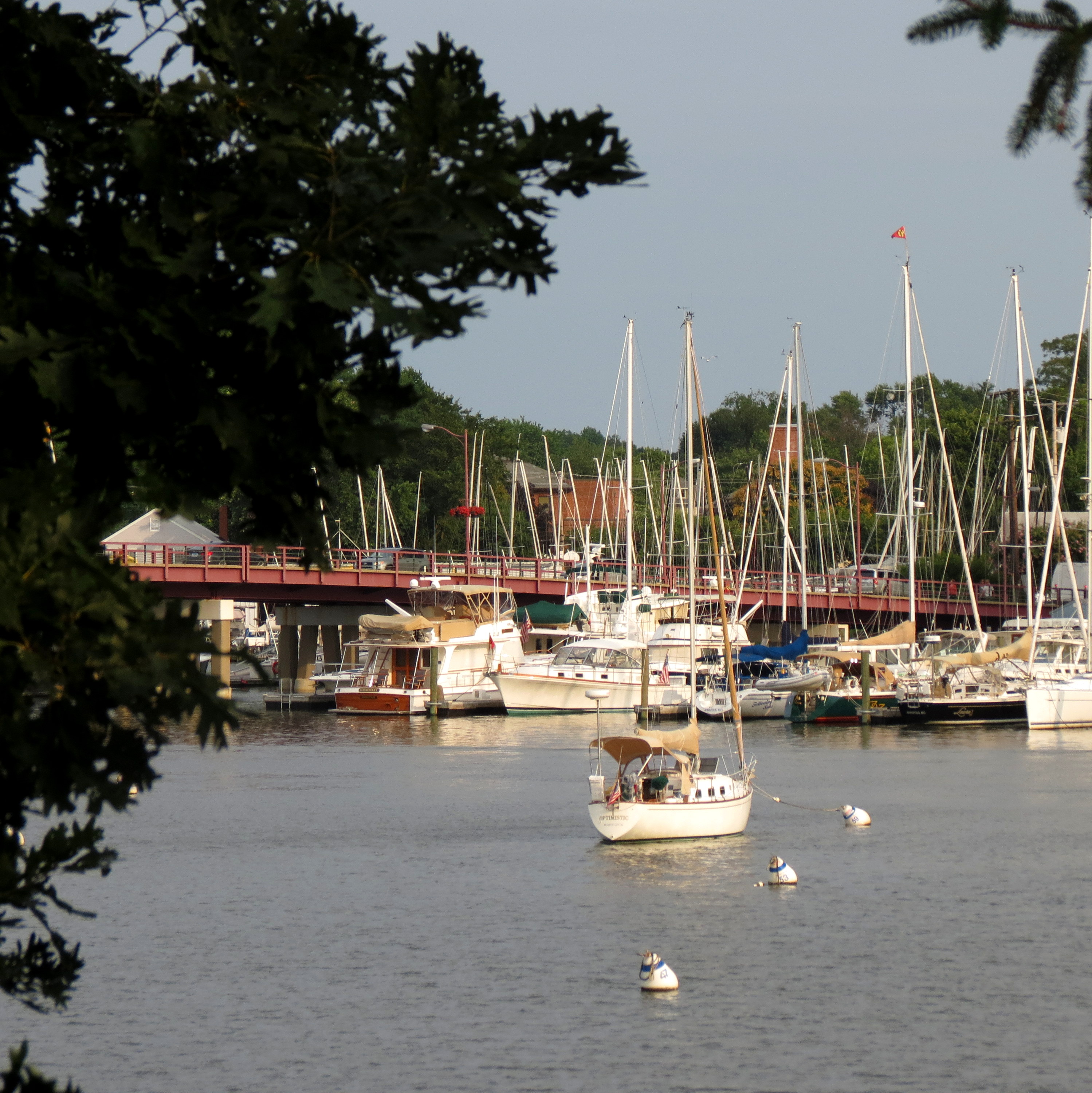
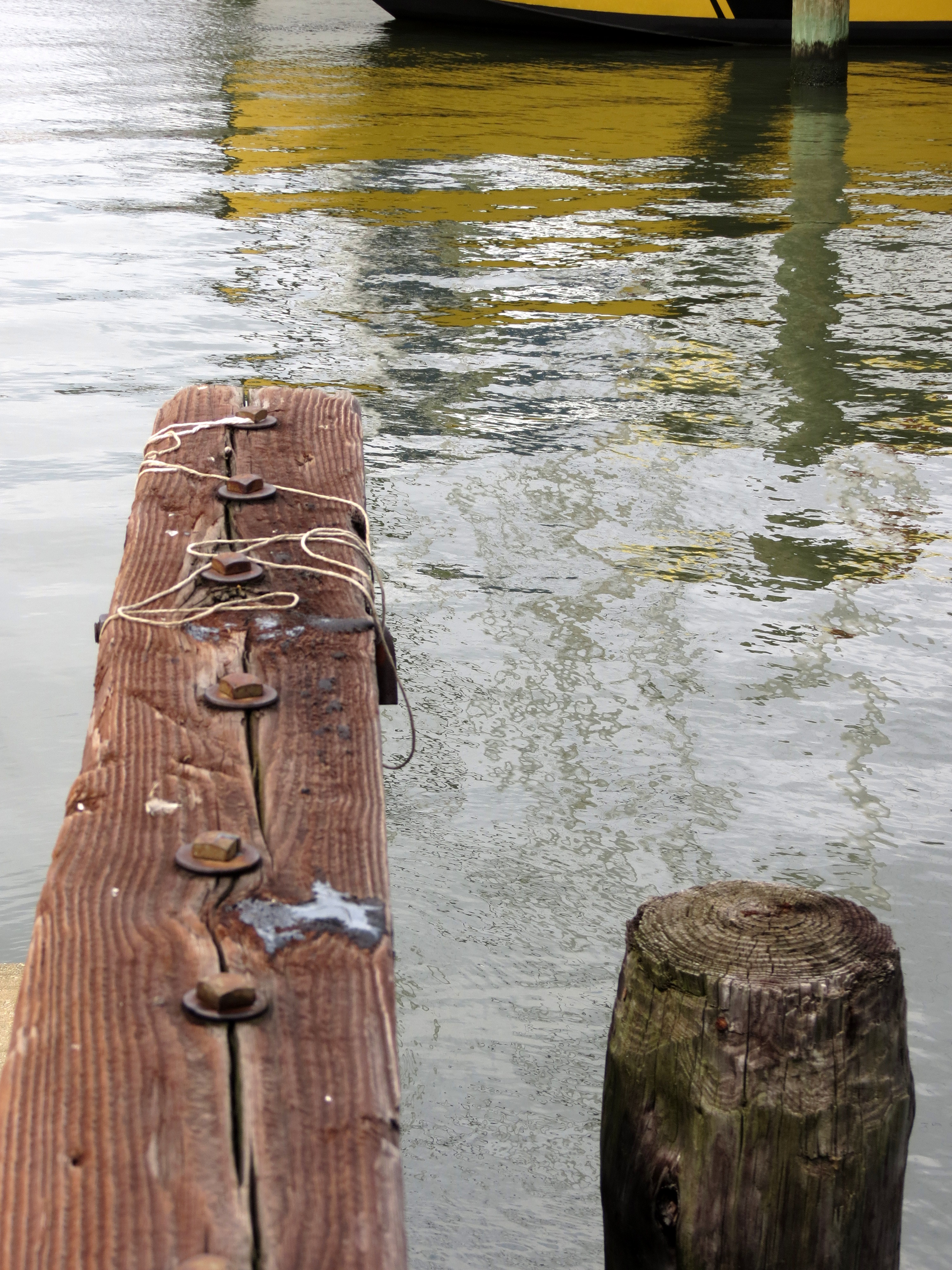
Annapolis is just full of beautiful sights to photograph, especially along the waterfront.


And then there is all the brick! What is it about brick that appeals to me? The color? That it ages so beautifully?

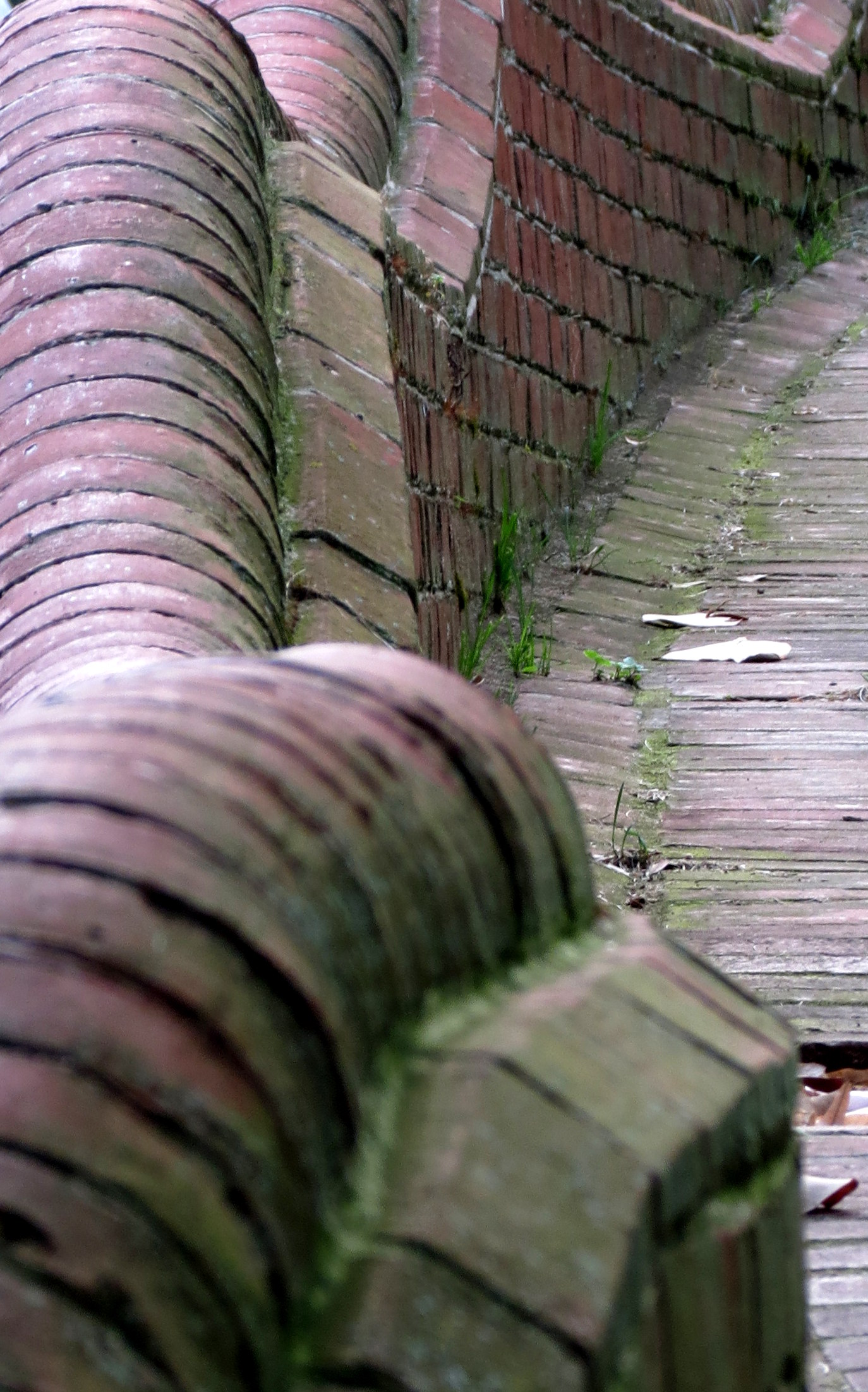

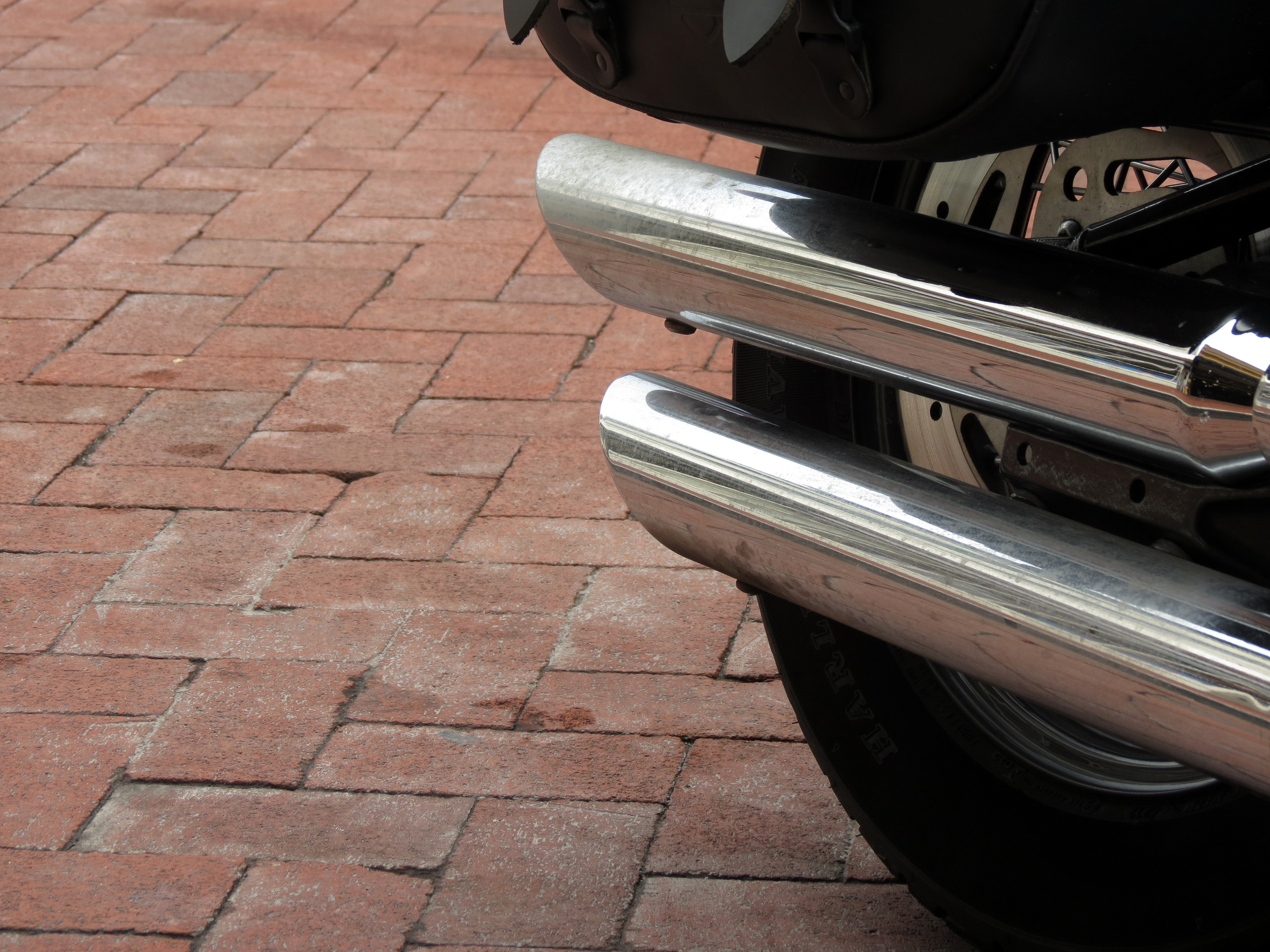
Brick even makes my dirty bike look better!

The day ended with a meal on the dock. Black Bean soup, Crab Cake, and red wine. Music in the background, and the lights of this small city reflected on the water made the evening just about perfect.
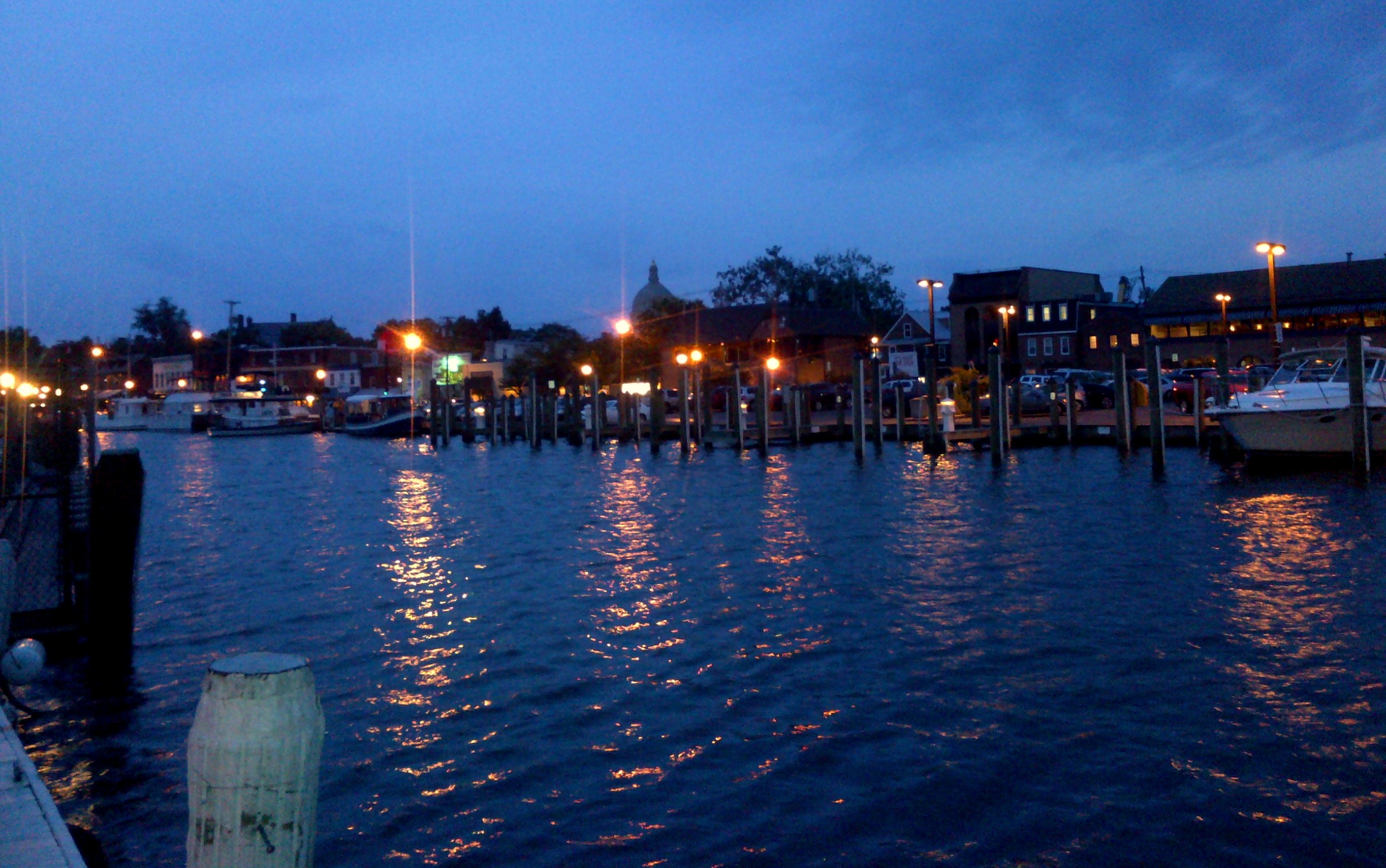
A final walk back to the B&B and it was pure contentment in Annapolis!


