On Monday, four members of the Wanaka Crew spent a couple hours kayaking on Lake Wanaka. What a blast! Photo credits go to Alys, Danella, and Joanna as I left my camera and phone on shore. Information about Lake Wanaka was taken from various online sources.

Lake Wanaka covers an area of 192 km2 (74 sq mi) and is New Zealand’s fourth largest lake. It is estimated to be more than 300 m (980 ft) deep. The clarity of the water is remarkable, especially to one who is used to the New River and Claytor Lake, which are full of organic matter. The name Wanaka is Maori and means ‘The place of Anaka’, a local tribal chief.

At its greatest extent, which is roughly along a north-south axis, the lake is 42 k / 26 miles long. Its widest point, at the southern end, is 10 k / 6 miles. The lake’s western shore is lined with high peaks rising to over 2000 metres / 6500 ft above sea level.
Wanaka lies in a u-shaped valley formed by glacial erosion during the last ice age more than 10,000 years ago. It is fed by the Matukituki and Makarora Rivers, and is the source of the Clutha River. Nearby Lake Hawea lies in a parallel valley carved by a neighbouring glacier.

We rented the kayaks from Paddle Wanaka, and while they did not provide much instruction or information (thank goodness I am not a novice!), they did encourage us to paddle out to Ruby Island.

Ruby Island – photo credit: Me!

We put in along the beach of Wanaka’s town center and paddled past an area of construction. This tourist town is rapidly growing as evidenced by several new areas of development.


It took us about an hour to paddle out to the island. Ruby Island has a boat jetty, a picnic table, and even a toilet (the word restroom is infrequently used here). Our happy group posed in front of the Ruby Island sign.

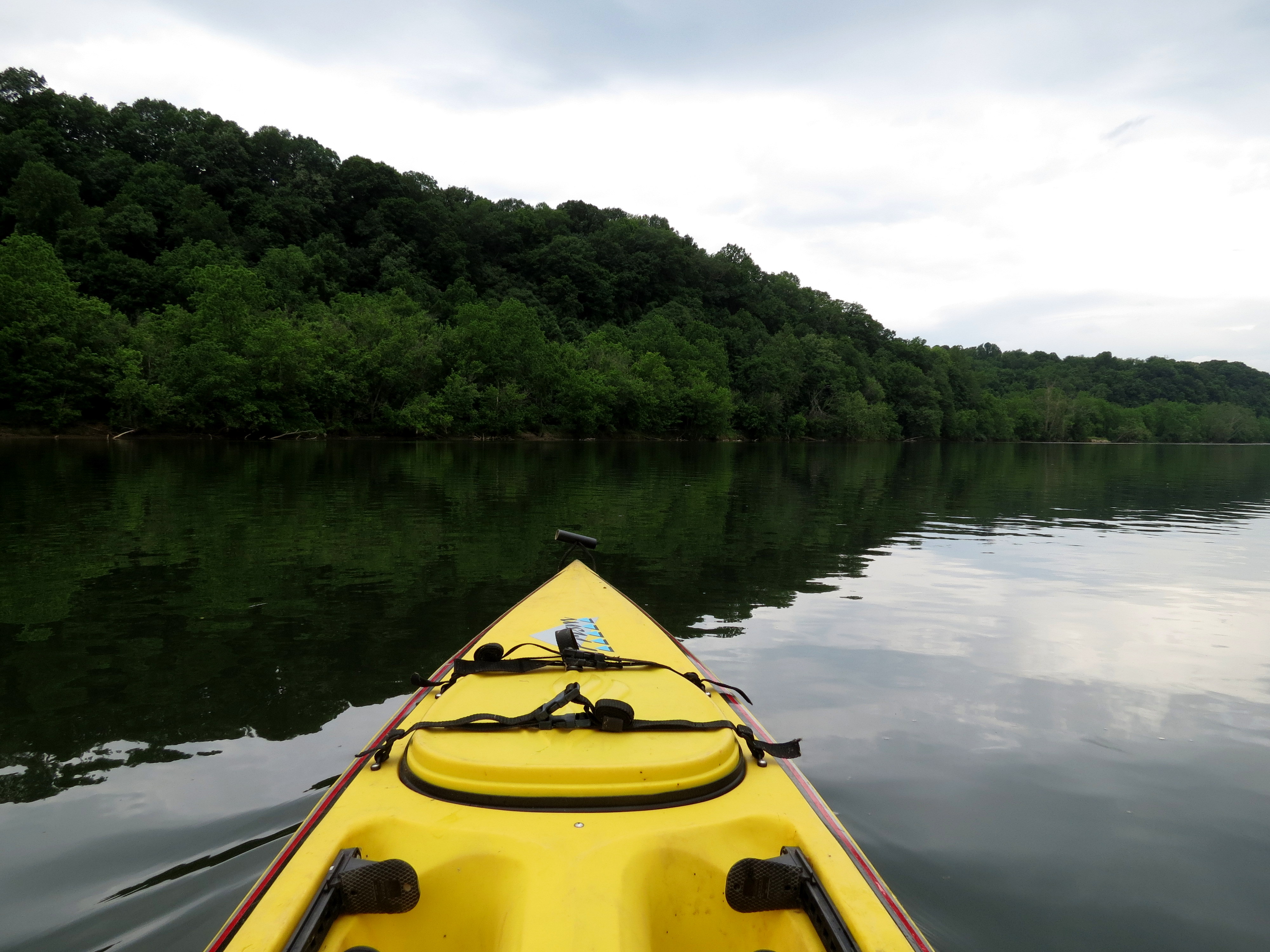
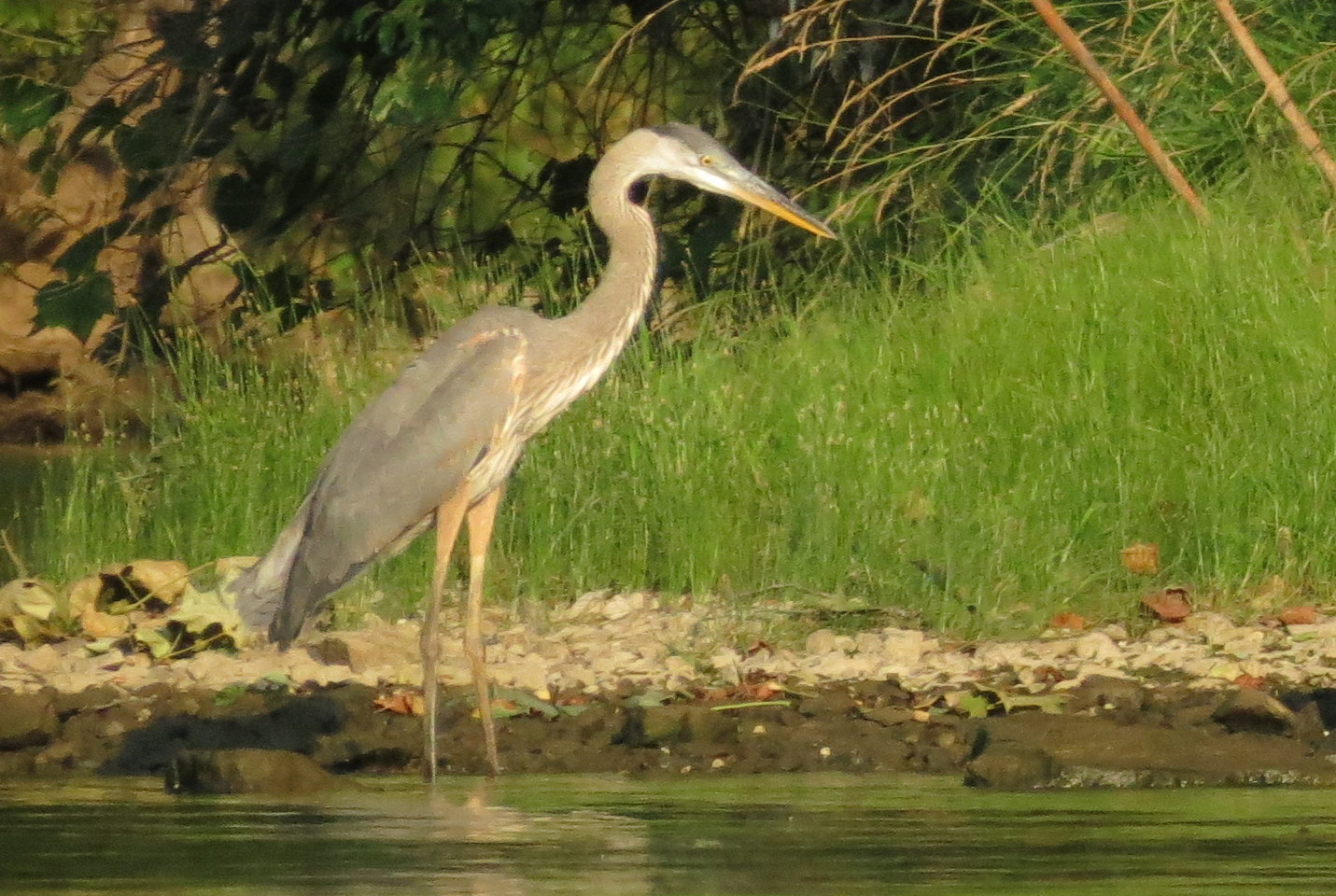
Joanna took this great shot looking back out across the lake to our put in.

Other than a slight sunburn, it was a glorious day on the lake!