The Great Allegheny Passage is a 150 mile Rail to Trail that runs between Cumberland, Maryland and Pittsburgh, Pennyslvania. Work contstraints had my friends and I doing half of the GAP in the Fall of 2025 (you can see the posts about that ride here and here) and the second half of the GAP just three weeks ago.
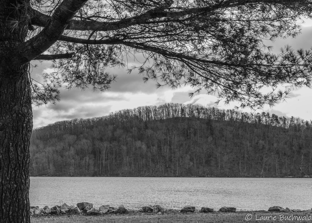
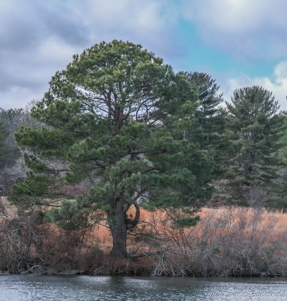
We arrived in Ohiopyle, PA the night before the ride, glad to be reunited with the beautiful Youghiogheny River.


Ohiopyle is a super fun “trail town” that caters to cyclists, walkers, backpackers, and river runners. We enjoyed dinner at Falls City Restaurant and Pub and slept well at the Falls Market Inn.


The next morning, after a delicious breakfast with our support crew at the Falls Market Restaurant, we set off!

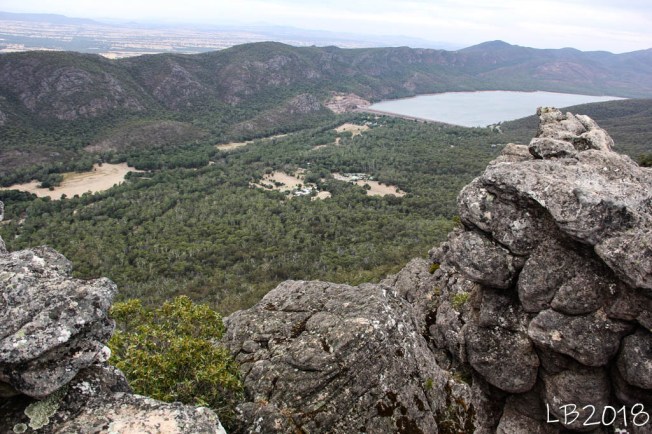
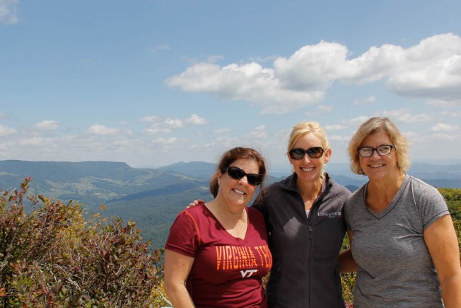
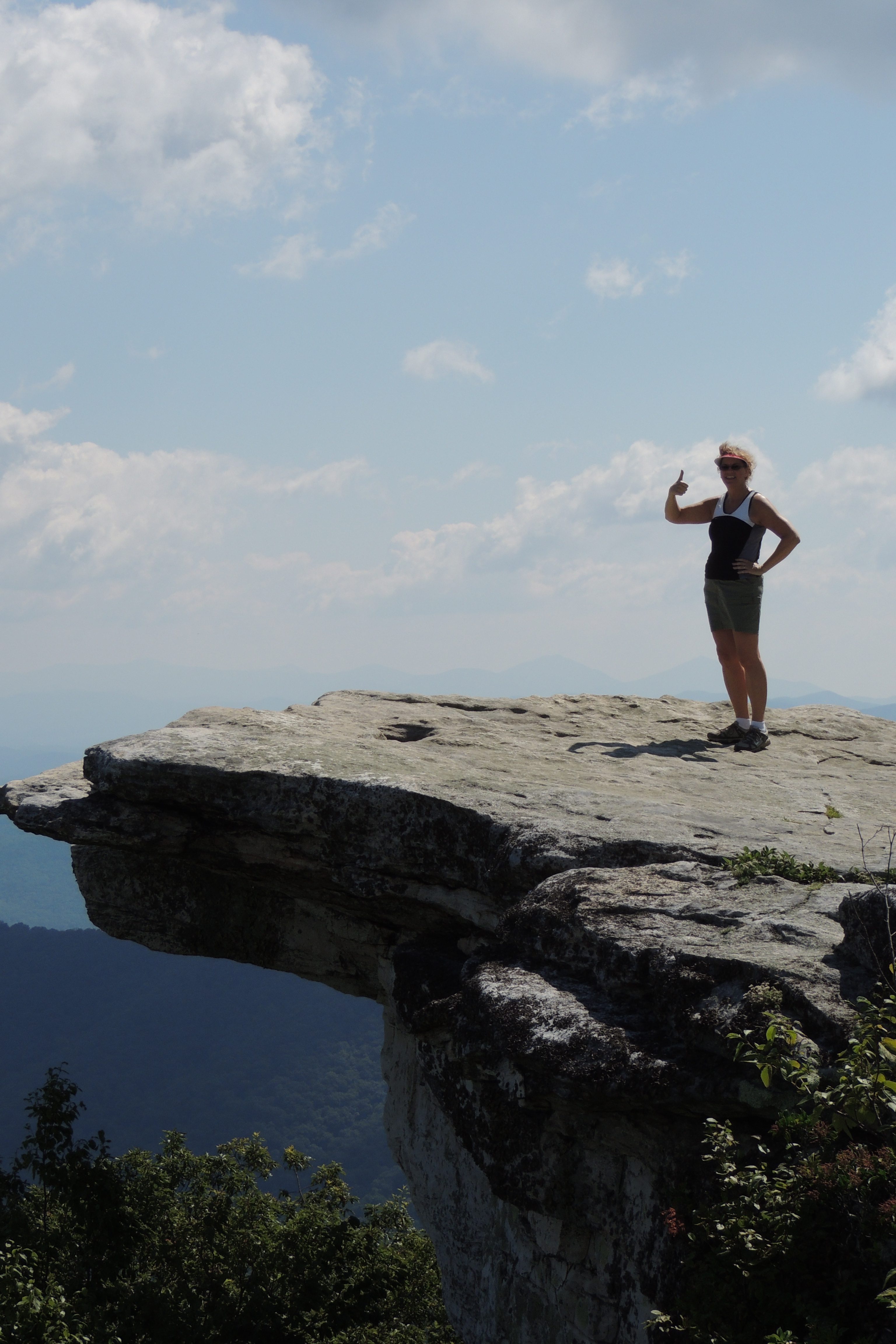
It was an incredible day and we were so happy to be back on the GAP.


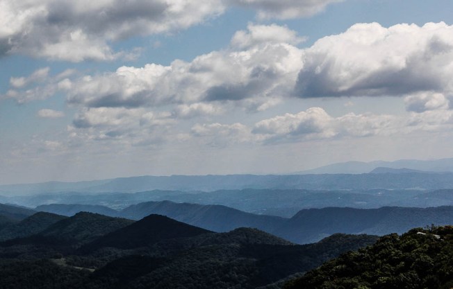
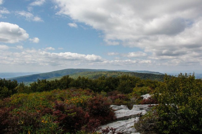
One of my favorite parts of riding a rail trail is learning the history of the people and communities along the way. The GAP runs through the Laurel Highlands region which is “shaped by Native American heritage, pivotal early American conflicts, and coal, coke, and steel booms”.
An unexpected pleasure is seeing public art along the way. “The Connellsville Gateway Arch, with it’s colorful stained glass fanning 16 feet into the air, welcomes eastbound travelers on the Great Allegheny Passage. Built from formed concrete, coal, and riveted steel, the arch features materials made in the town’s own Youghiogheny Opalescent Glass Factory”.

We loved the murals on three industrial silos owned by Youghhiogheny Glass. Artists Chris Galiyas and Meeghan Triggs originally painted the silos in 2008, and due to fading over the years, were restored in 2022 by Galiyas.

“To honor the steelworkers past and present, the Yellow Dog sculpture was developed through the collaborative efforts of sculptor Jim West, George Junior Republic’s Fine Arts program, and the welding program at the William H. Gladden Career and Technical Center on the campus of George Junior Republic”.

We also enjoyed the unofficial pieces of art that bring smiles.


And then we came across the Darr Mine Memorial Mosaic.

The Darr Mine disaster occurred on December 19,1907 and was the deadliest coal mining tragedy in Pennsylvania history, claiming the lives of 239 men and boys. Created by mosaic artist Rachel Sager, “the memorial includes 239 individual mosaic plaques mounted on an old stone retaining wall. Each unique mosaic is built into a vintage film canister—resembling the metal miner tags left behind in the earth”.


The explosion left 130 widows, 300 children without fathers, and 542 people without a source of income.
Rail Trails follow historic railroads, pass through small and large towns, and preserve the surrounding countryside and history. Next post will be about our fourth and final day on the GAP.