It was with mixed emotions that the Wanaka Crew began to disperse Thursday morning, with all of us checked out of our gorgeous temporary home on Friday. What an incredible journey blogging has been for all of us! Who knew that when we all published our first posts, for me back in June of 2012, we would meet and make such great friends. The benefits to blogging are many and without a doubt, the best part is the worldwide connections that are made.

This image nipped from Alys’ FB page: Boomdee, Alys, Danella (daughter of Pauline), Pauline, Steve (partner of Joanna), me, Joanna (daughter of Pauline), and Mike (Alys’ husband).
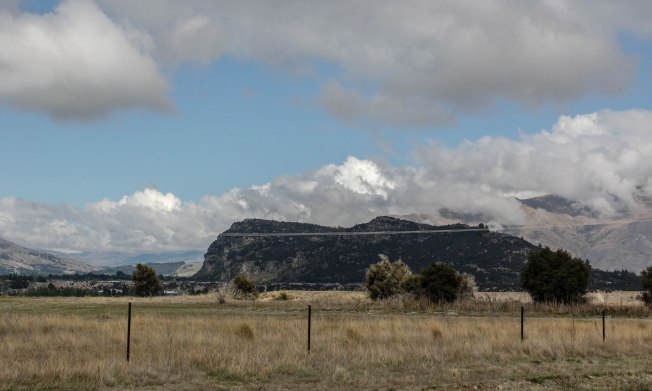
After one last lunch with Pauline, Danella, Boomdee, and Siddy, with this view as the backdrop, I was dropped at my Queenstown Hotel. It was time to start my solo adventure.


Queenstown is known as the adventure capital of the world, and with just one and a half days to spend there, I had many choices. Ultimately, I decided to hike Queenstown Hill and, on the advice of Danella, to take a jet boat ride on Lake Wakatipu.
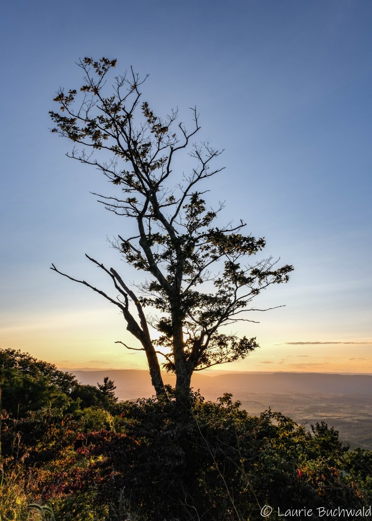
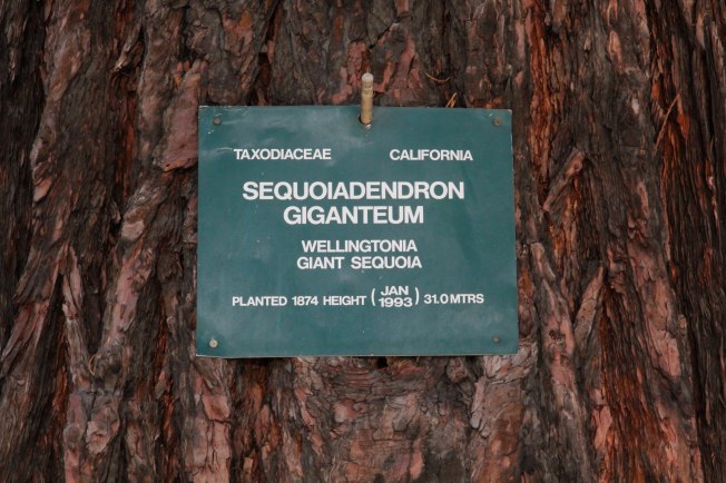
After walking by this gorgeous tree, I began my morning with the now customary Flat White. I was thrilled to see this Giant Sequoia since I’ve not seen them in California yet.


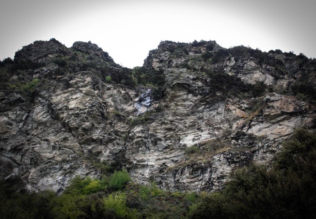
They Call it a “Hill”
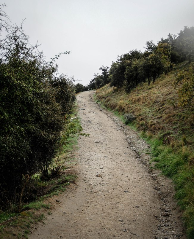
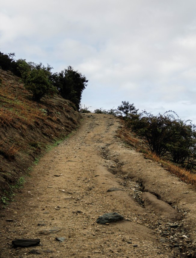
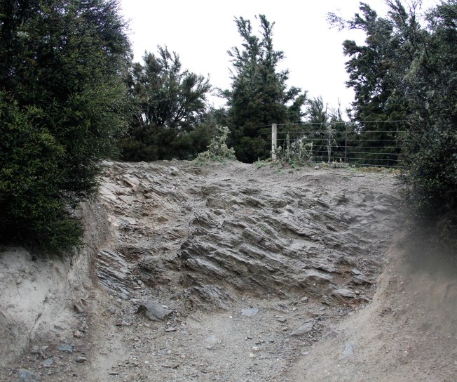
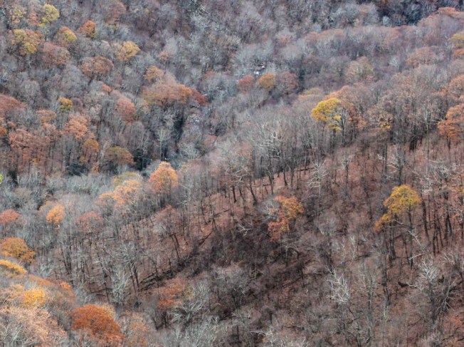
Queenstown Hill is a popular hike for locals and visitors alike despite the moderate to difficult rating. While only 3k from the trail head and back, it was another 3k on foot to get to the trailhead. It’s 500m to the summit, straight up hill all the way. Click on each image in the gallery to get an idea of the steep climb, both on the street and the trail.

The road to the trailhead

Looking back down at the town

Steps to the trailhead

Still climbing

Looking back; it was an easy walk down
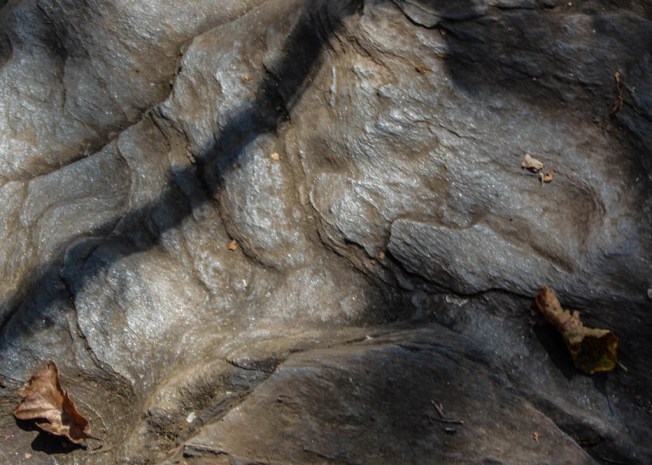
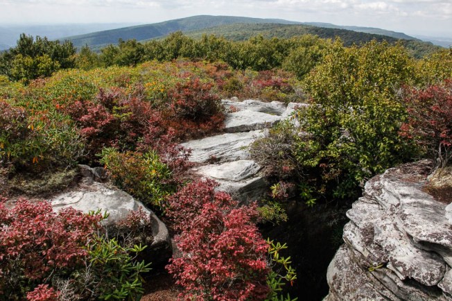
Soon enough I entered a magical area of stacked rocks. I was capitavated and spent a good 15 minutes in peace and quiet, and then added my own rock. The photography is poor as it was quite dark and I just didn’t capture the stacks well.

Adding my own rock to an existing stack

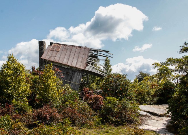
This tiny house reminded me of those seen in Atlanta on the Tiny House trail. In this one, hikers have left messages for other hikers. Charming!
I knew that I was near the summit when I arrived at the Basket of Dreams. Sculptor Caroline Robinson created this piece in 2000 for the Queenstown Millenium project which has transformed the existing walk into a heritage and art trail. The ‘Basket’ is near the top of the hill and “is built to lie inside of, eat your sandwich, and imagine. It provides a meeting place, a resting place, a dreaming spaceIts a place to be with others and with the magic of the Wakatipu landscape”.
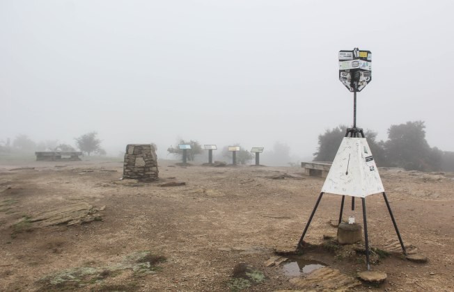
I began what I thought were the final steps (the basket is right in the middle of this next image). It is so tiny as seen here. Then I turned around and saw that I had several more steps to go (see the second image). Can you see the people on the summit?


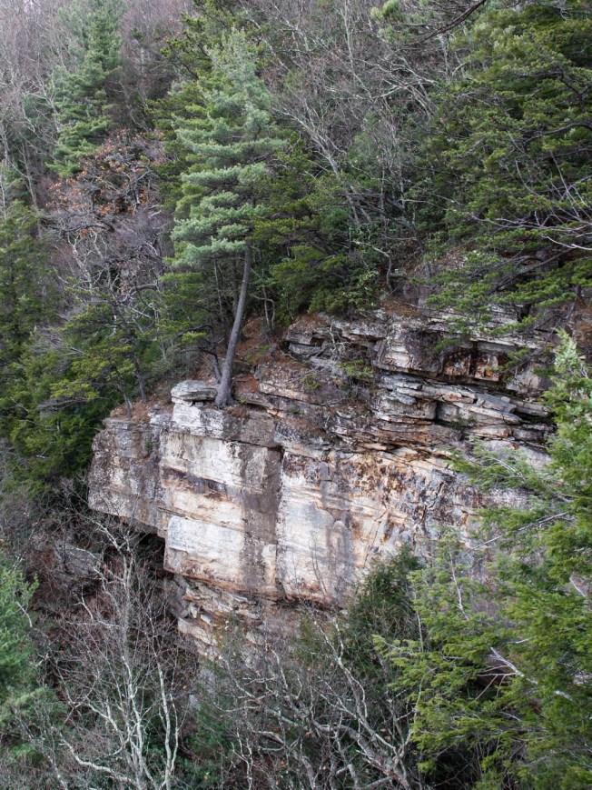
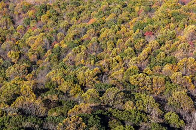
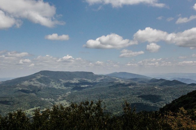
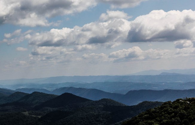
Finally! I arrived on the summit and the view is indescribable, at least for me. I mean, how many more times can a person say “incredible, gorgeous, stunning”?


Another view of The Remarkables

Another Rock Stack

#mysawyerbracelet

#mysawyerbracelet

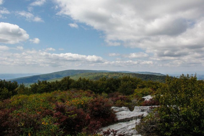
View of Lake Wakatipu

I will miss seeing The Remarkables
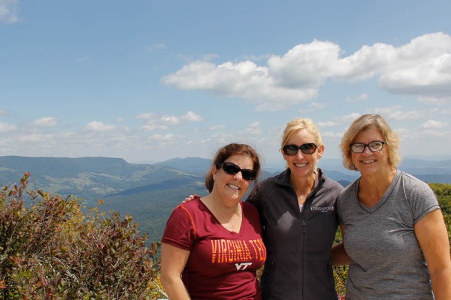
I sat in complete contentment for a long while. A woman came up and asked if she could take my photo as I looked so quiet and peaceful. What a thoughtful gesture as I would not have been able to manage a selfie.


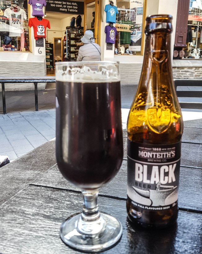
It was difficult to leave this place. Thankfully, a celebratory beverage and a jetboat ride awaited me. I enjoyed my Monteith’s Black as I looked back up to the summit. Can you see it, peaking through the trees?

And then I looked towards the lake.

It was a specatacular day for a jetboat ride!


Geared up and ready to go!

This company offered a 60 minute ride

Our jetboat driver, Nick

360 Degree Spins / 43kmph

View from the jetboat

The water at times was only inches deep

The stunning scenary
What a thrill, and even though 60 minutes, not long enough! My time in New Zealand came to an end all too quickly, despite being there almost 2 weeks. What a remarkable country!
Now though, it was almost time to get on that plane, and fly to Melbourne.